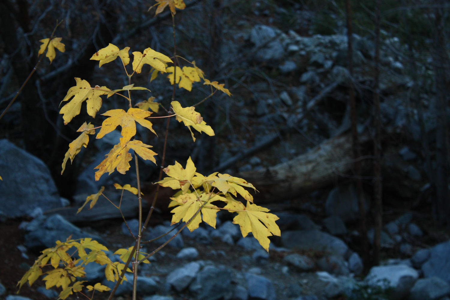
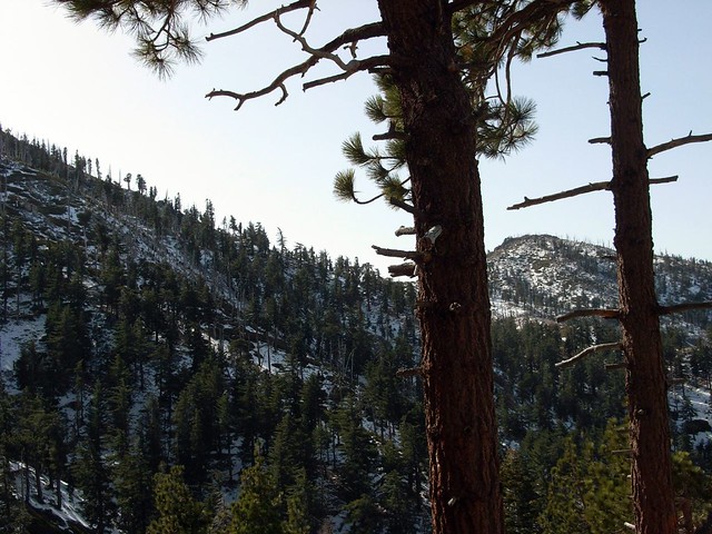
This is the easiest way to reach Timber Mountain, the southernmost of the “Three Tees” on the Three Tees Trail. Timber Mountain is a prominent, forested peak just above Icehouse Canyon, one of the loveliest canyons in the entire San Gabriel Mountains range.
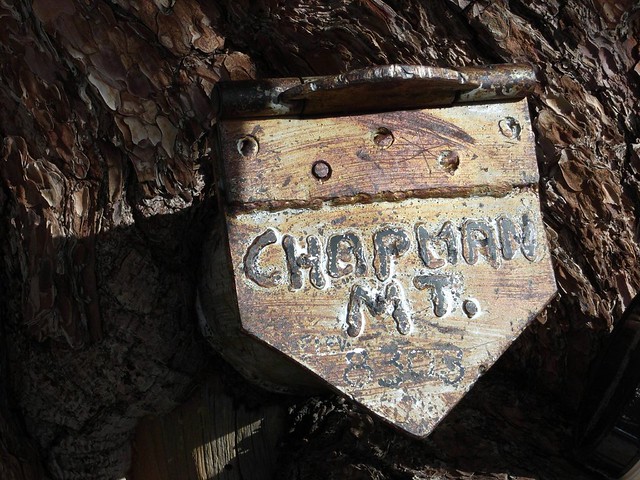
Red Tape: If you are continuing past the Wilderness boundary in Icehouse Canyon, you will need a free wilderness permit from the Mount Baldy Visitor Center. If you are planning at overnighting at Chapman or Kelly Camps or anywhere else, you will need to include this on your permit information. Visit or contact the Mount Baldy Ranger Station for more info.
I opened the door to the Mount Baldy Visitor Center and walked inside. The warm, dark wood interior was a welcome respite from the howling winds outside. The rangers stood behind their desk – a bearded man and blond woman – smiling at me.
“Hi. I’d like a permit for the Cucamonga Wilderness.”
Still smiling, the woman said, “We are not recommending anyone go up there today.”
“Oh?”
The man chimed in. “We’re measuring wind gusts at 60 miles an hour. I almost got knocked down today.”
“But of course, we can’t do anything to stop you,” said the woman. Still smiles, that one.
I reached for a ballpoint pen and started filling out our Wilderness Permit. “I’m going to try for Ontario Peak. Is it more windy in the canyons, or on the ridge?”
“It’s windy everywhere.” The man with the beard was not smiling. All gravitas, he.
“What about ice?”
“We’re not sure. We haven’t been up there.” Still no smiles. “And you’ve got to remember, most of those trails are pretty narrow. One good gust of wind, and you could get swept off the side like that.” He snapped.
The woman smiled and nodded. What was this? Some National Forest game of Good Cop-Bad Cop?
I thought back to my times on the Icehouse Canyon Trail. The trail I remembered was narrow, but not that narrow. And it didn’t have any particularly steep drop offs that were life-threatening. The Cucamonga Peak Trail, however, did.
“Well, I’ll fill this out and talk it over with the hiking partner. Thanks for the tips!”
As I turned to leave, the man called out one last scare – “and be sure to watch out for flying branches and rocks!”
I crossed the street to the Mount Baldy Lodge, where Will was sitting at the bar, waiting for a packable meal. I laid it out for him, mentioning that I’d also found a lower mountain further west in case Ontario was snowed-in. We thought about it for a while. The rangers had me worried it would be too dangerous to hike. Will got his food, turned to me and said, “Well, there’s only one way to find out.”
And with that, we drove to the Icehouse Canyon trailhead. We were going to have an adventure today.
As soon as I opened my car door at the trailhead, the wind shut it back on me. Oh, boy. Getting my bag and shoes out of the trunk was made significantly more interesting by the deafening roar of the wind whipping its way angrily through the Canyon. We tied our packs extra tight, pulled our hats down on our heads, and started toward the Canyon.
As we were walking, a nasty gust forced us to stop and wait. It also set off one of the parked cars’ alarms. This was going to be good.
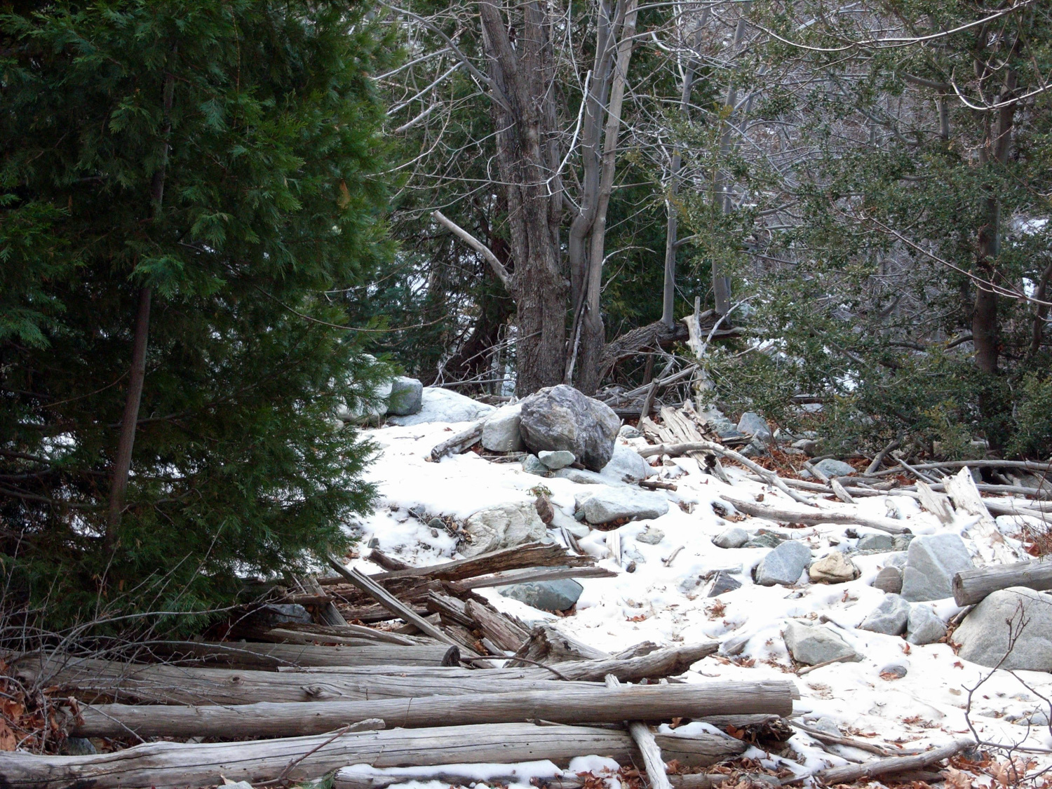
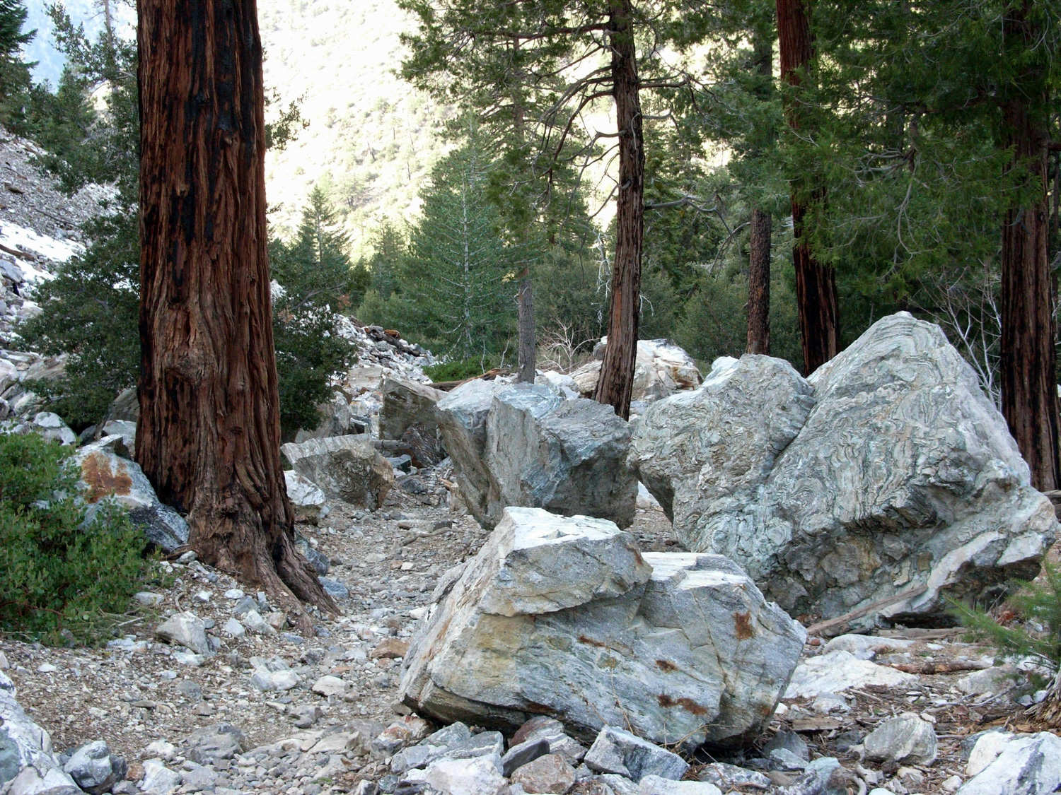
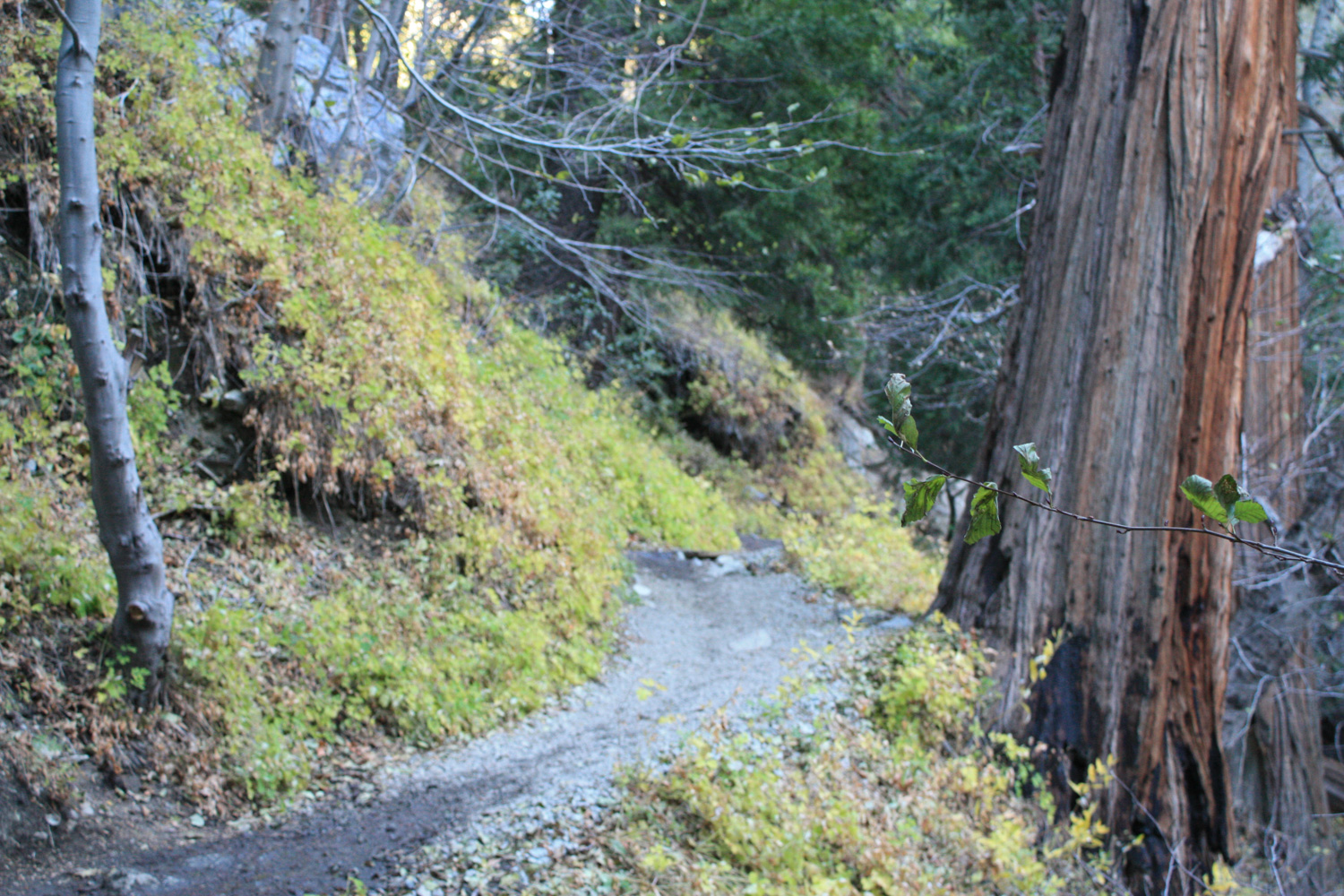
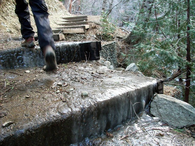
Thankfully, the early part of the Icehouse Canyon trail was both ice-less and generally windless. It was still windy, don’t get me wrong, but there were none of the breath-knocking gusts that assaulted us in the parking lot. We got our first ice on a set of stairs, but since it was pretty well covered in dirt and mud, it was barely slippery at all.
If you’re trekking this route in the winter, you should always come prepared with the right equipment — in addition to layers, you’ll want something to help increase your traction on partially frozen ground — something like Stabilicers or YakTrax, as well as trekking poles and potentially snowshoes.
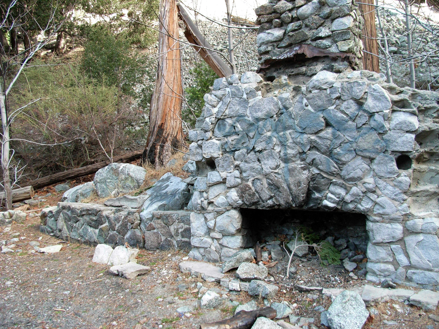
At 0.8 mile, stay to the right to keep on the Icehouse Canyon Trail, ignoring the Cedar Glen Trail to Chapman Campground.
The water usually fizzles out in Icehouse Canyon around 1.2 miles, and you’ll hit the wilderness boundary about 0.1 mile further down the trail.
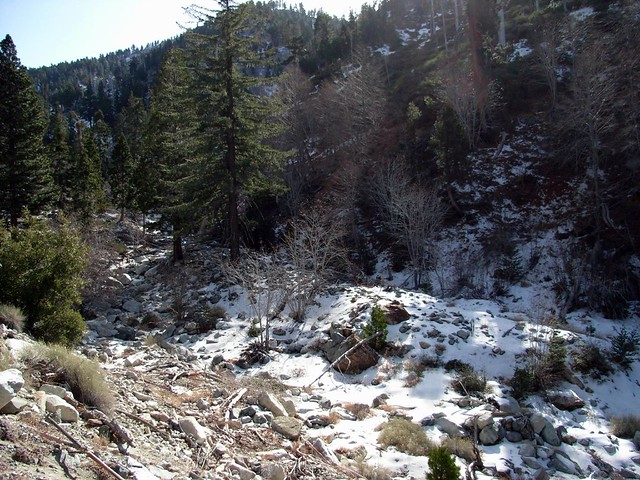
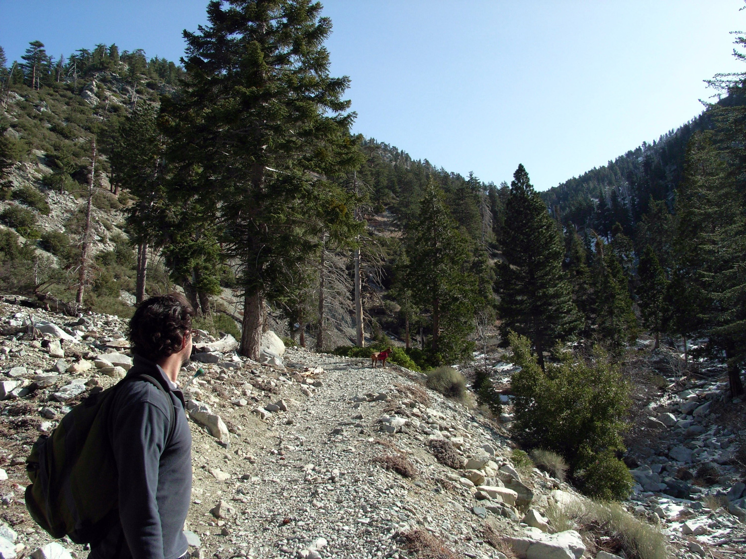
As we got close to Icehouse Saddle, the winds started picking up again. This, combined with the icy trail, made for some interesting hiking postures, that’s for sure. Lots of bowed legs and outstretched arms on my end, given just the right amount of silliness by the occasional flailing to keep balance.Eventually, we made it to Icehouse Saddle, and met up with a pair of Australian hikers decked out with trekking poles, crampons, and all other sorts of equipment that will probably end up on my credit card statement pretty soon. They were coming down from the Timber Mountain trail, and we asked them how the weather was.
They told us the weather was fine up on Timber, but they’d gotten the stuffing knocked out of them coming up Bear Canyon. We traded “Danger in the Wind” stories, but the Australians had us beat. The husband almost got himself blown down a ravine.
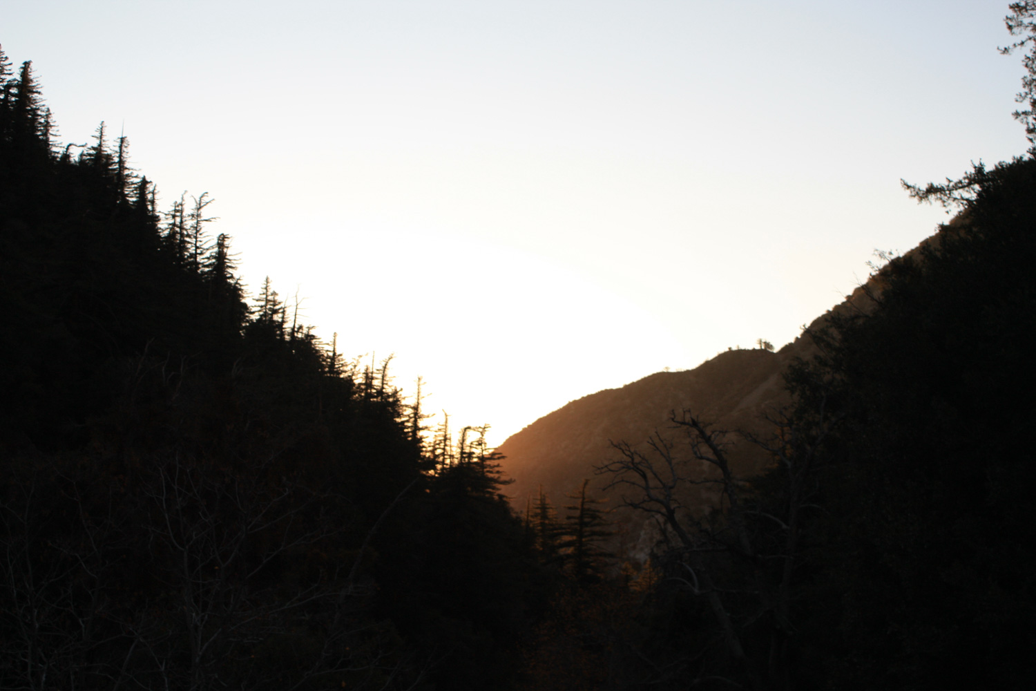
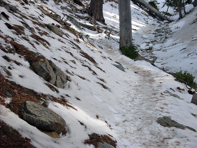
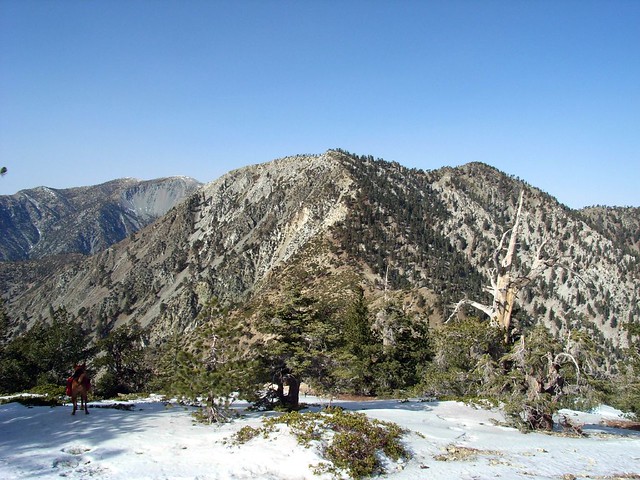
Like us, they had their sights set one of the bigger peaks, but opted for the calmer environs of Timber Mountain instead. Checking out the trails, we noticed the route to Ontario Peak was on the mountain’s north face for quite some distance. Generally, the north sides of the San Gabriels are the ones that keep colder longer, and this looked to be no different. We looked north toward Timber Mountain, its trail on the south face and completely free of snow. And thus, our plans were altered.
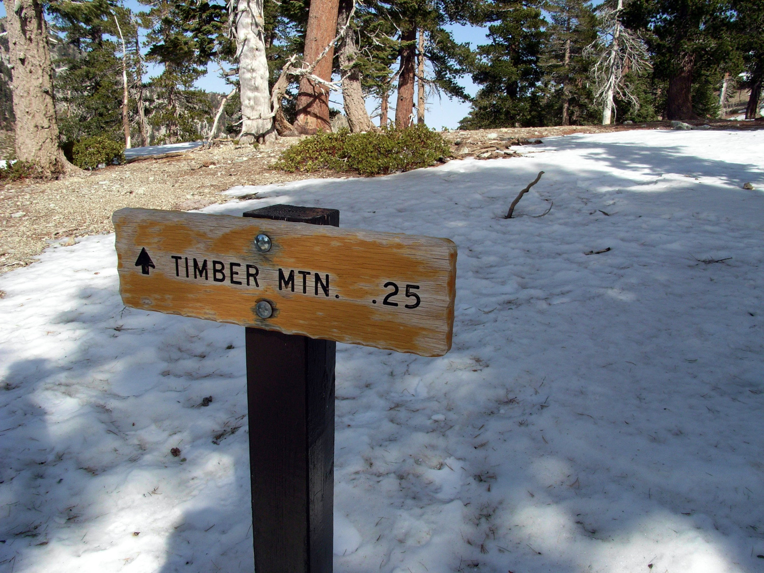
The winds started whipping around Icehouse Saddle, so we climbed up the Timber Mountain trail a bit, found a log to sit on, and ate our lunches. In clear view, of course, of our former destination.
Just under a mile of dry, easy-graded hiking and we were at the sign to Timber Mountain:

Tags: Angeles National Forest, Hiking, Icehouse Canyon, Los Angeles, San Bernardino National Forest, Timber Mountain, Trail Write-Ups