The trail in Solstice Canyon is a picturesque, shaded, classic Santa Monica Mountains canyon hike on a popular, well-maintained trail with opportunities for less-traveled spurs. Highlights include a small waterfall, the site of the oldest stone building in Malibu, and the ruins of a burned-down mansion.
Just a quick turn off the Pacific Coast Highway north of Malibu, the entrance to Solstice is just a few hundred feet away from the sometimes crowded beaches, but it feels a world away. A short road winds its way through a few hills and over a small stream to a moderately-sized parking lot with plenty of picnic areas, an amphitheater, and some bathrooms. This is a popular trail, and there is an overflow lot closer to the PCH. If you’ve got extra time (or don’t have a car), this is one of the most easily accessible hikes from Metro – the bus stop for Metro Bus 534 is just a few hundred feet south of park entrance – and will save you the hassle of fighting for a parking spot.
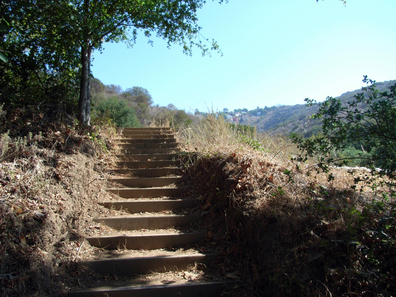
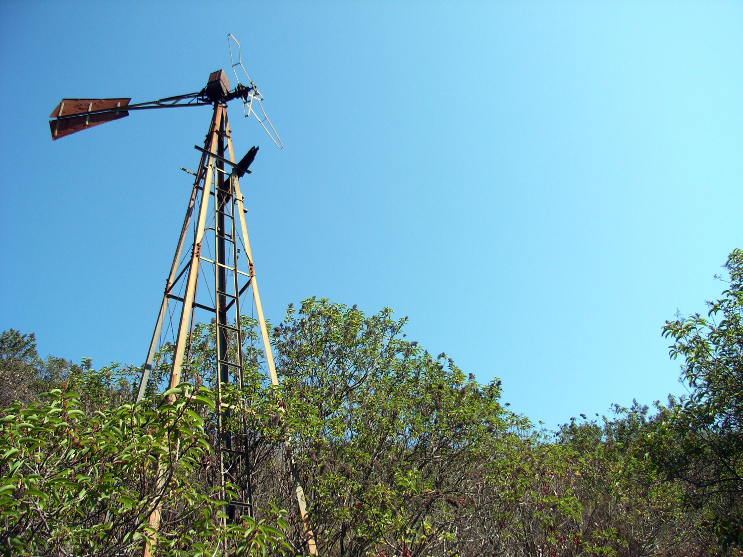
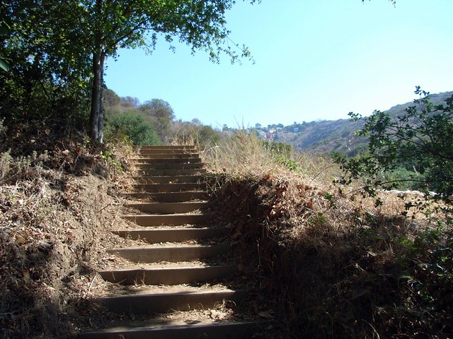
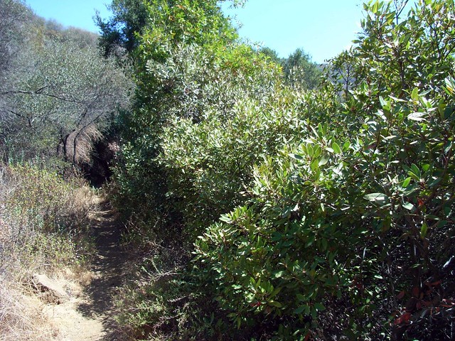
At the north end of the parking lot you are presented with your trail options – you can either take an easy stroll down the paved Solstice Canyon Trail heading straight in, or you can climb a staircase and dirt path that leads to the more rugged, more exposed, more secluded Rising Sun Trail via the TWR Trail (named for the company that performed early satellite research for the space program here from 1961 to 1973). If you’re up for a bit of a workout, head up the stairs.
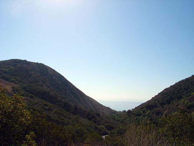
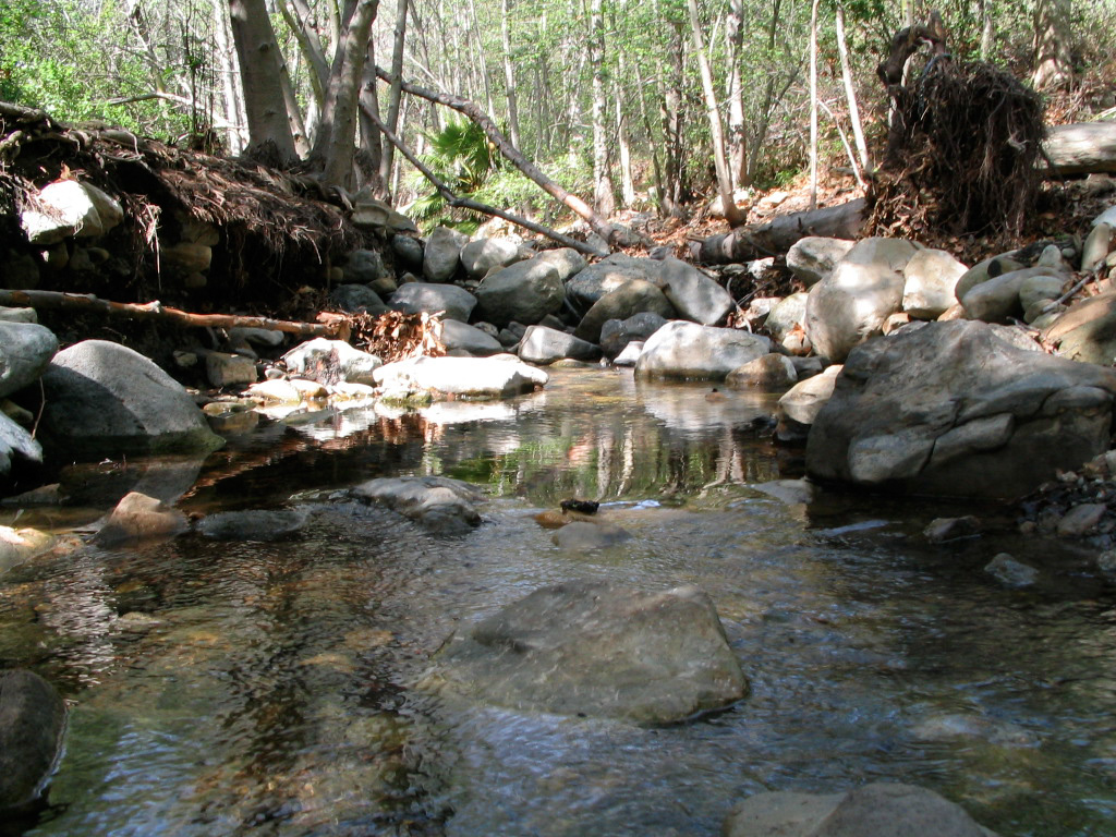
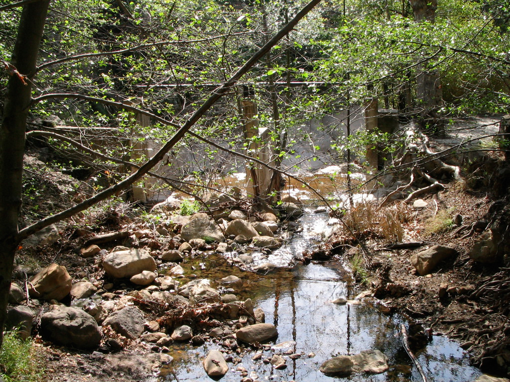
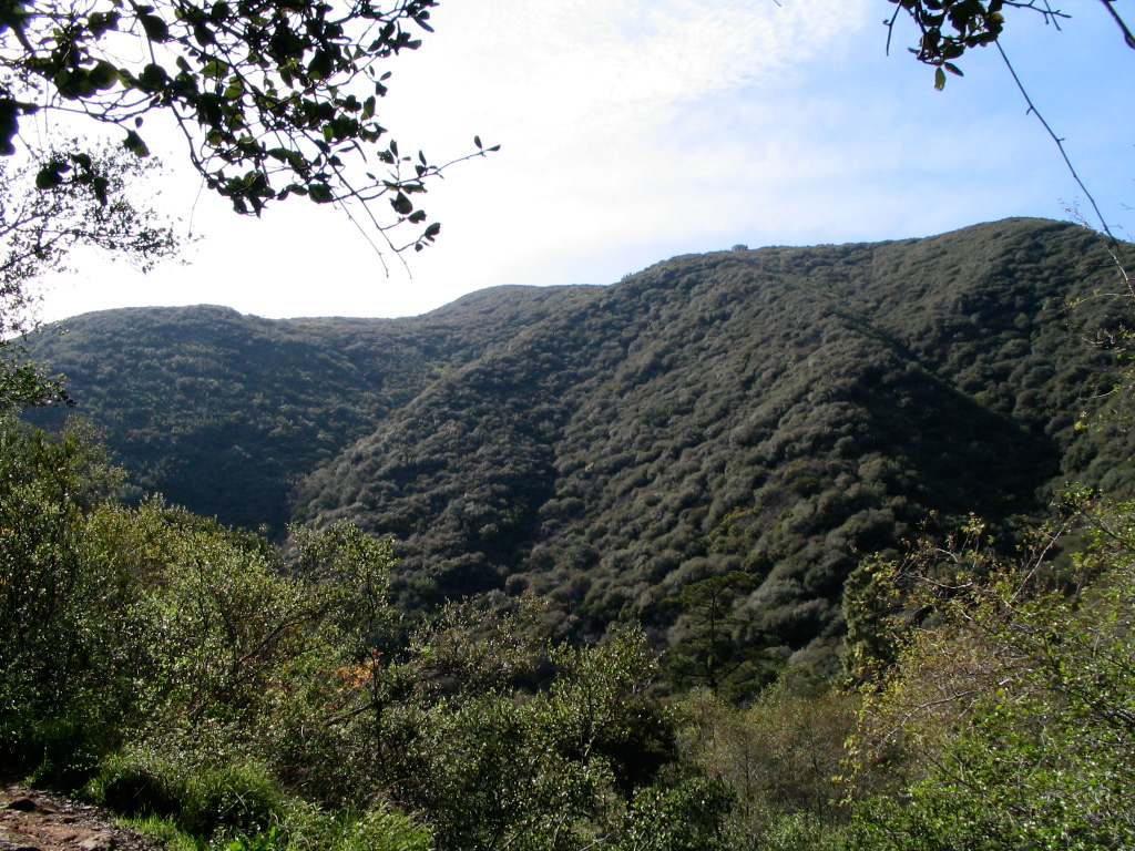
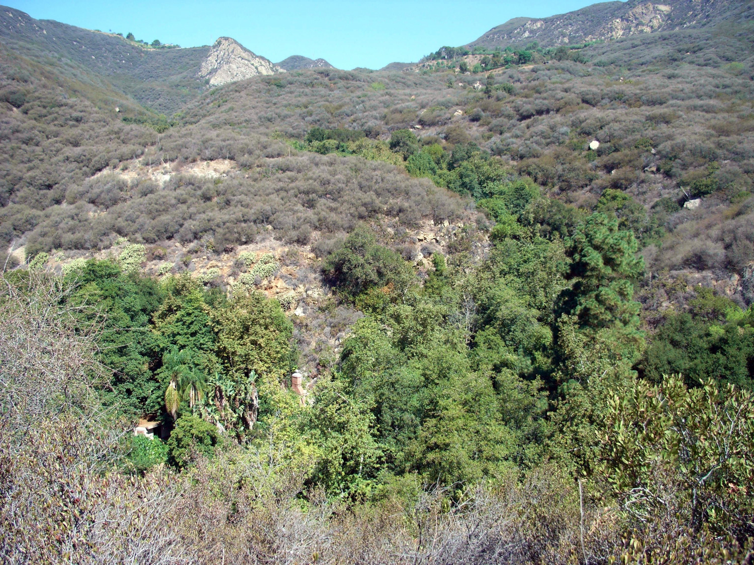
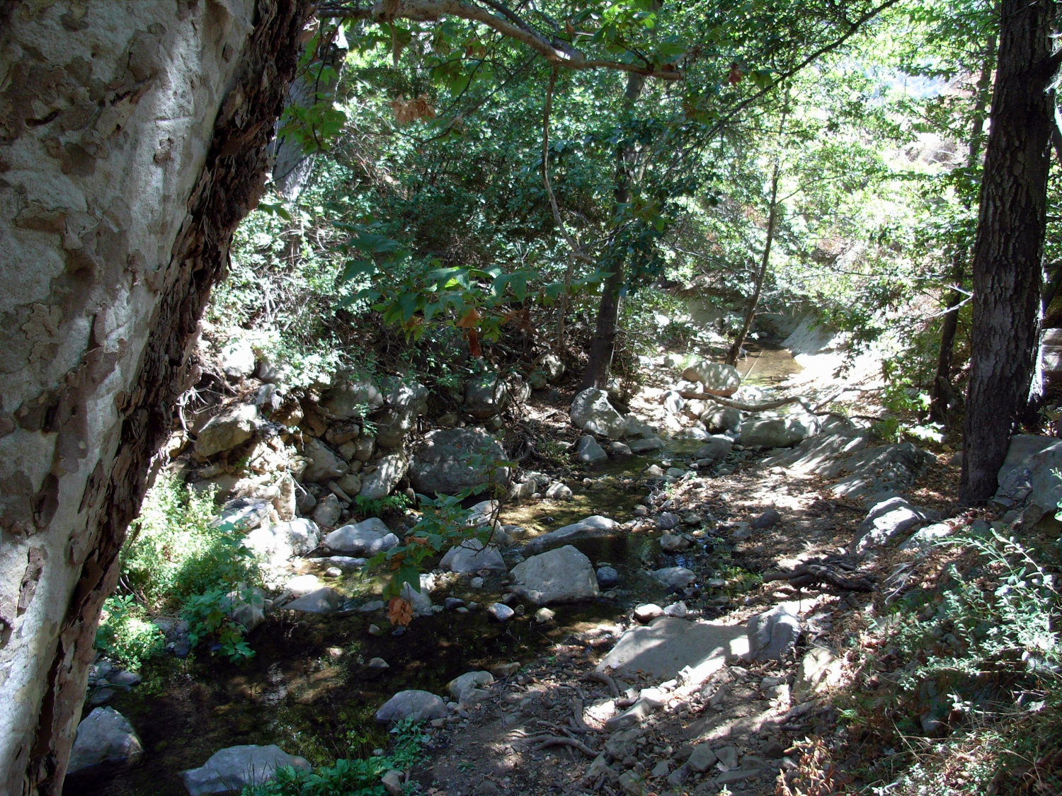
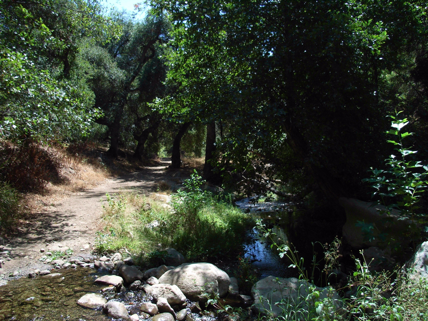
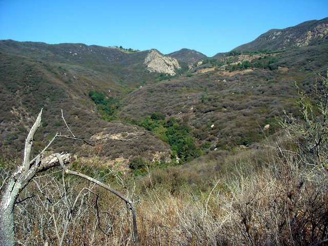
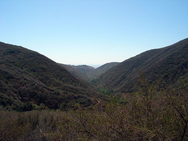
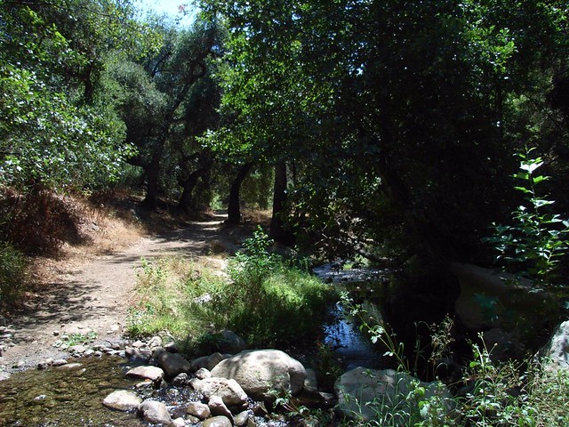
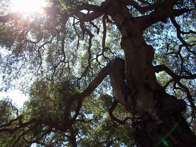
Eventually, you’ll reach the crest and be able to peer down into Solstice Canyon again. When I hiked this, we had an extremely parched year so far in Southern California, and most of the brush was pale and dried out. However, there is a small stream that constantly runs through the canyon and a brilliant band of green hugging both banks. Because everything else was so thirsty, the watered areas really stood out in the scenery.

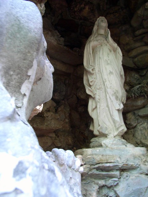
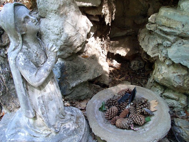
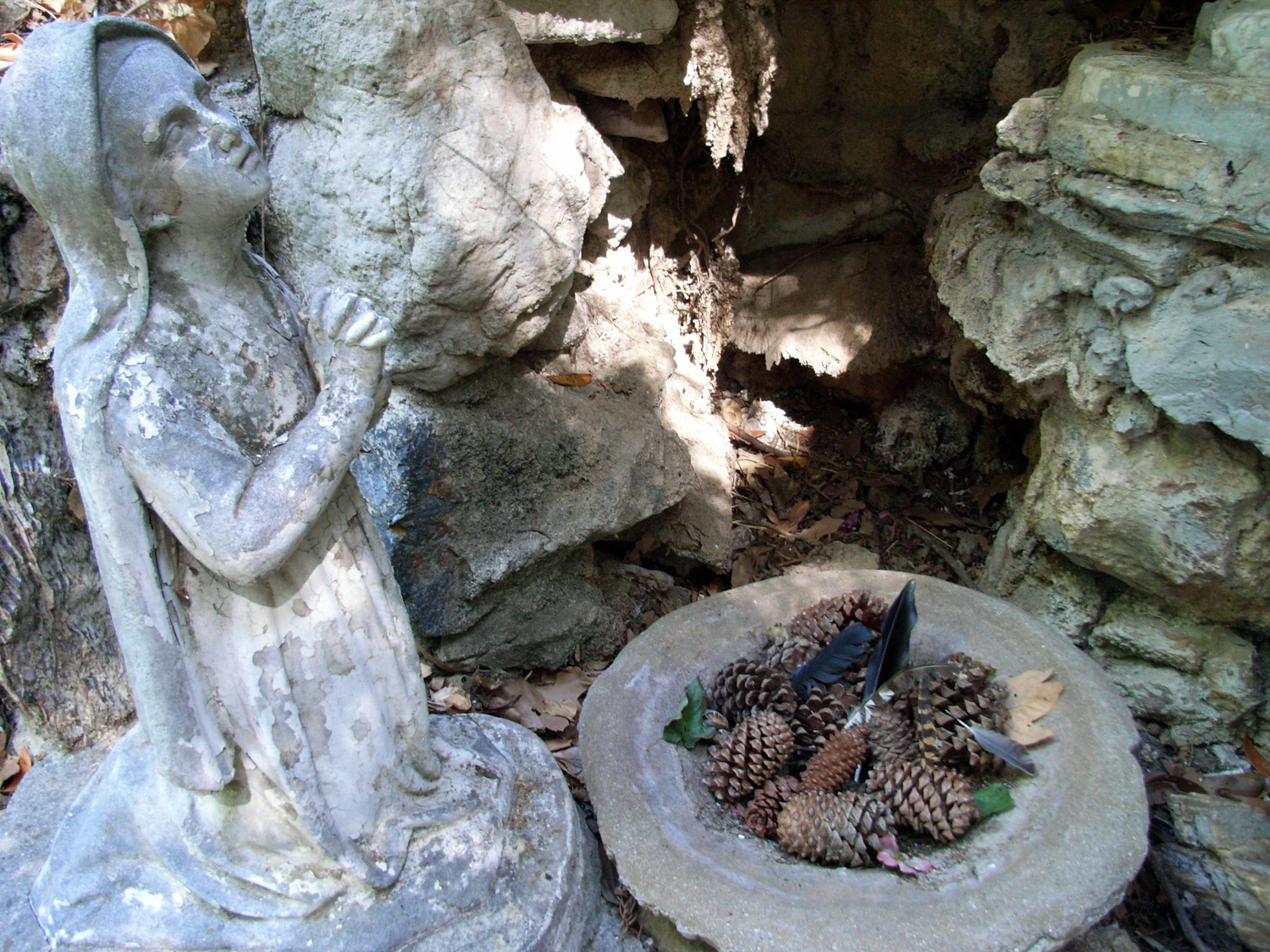
Many of these statues are no longer in the canyon, sadly
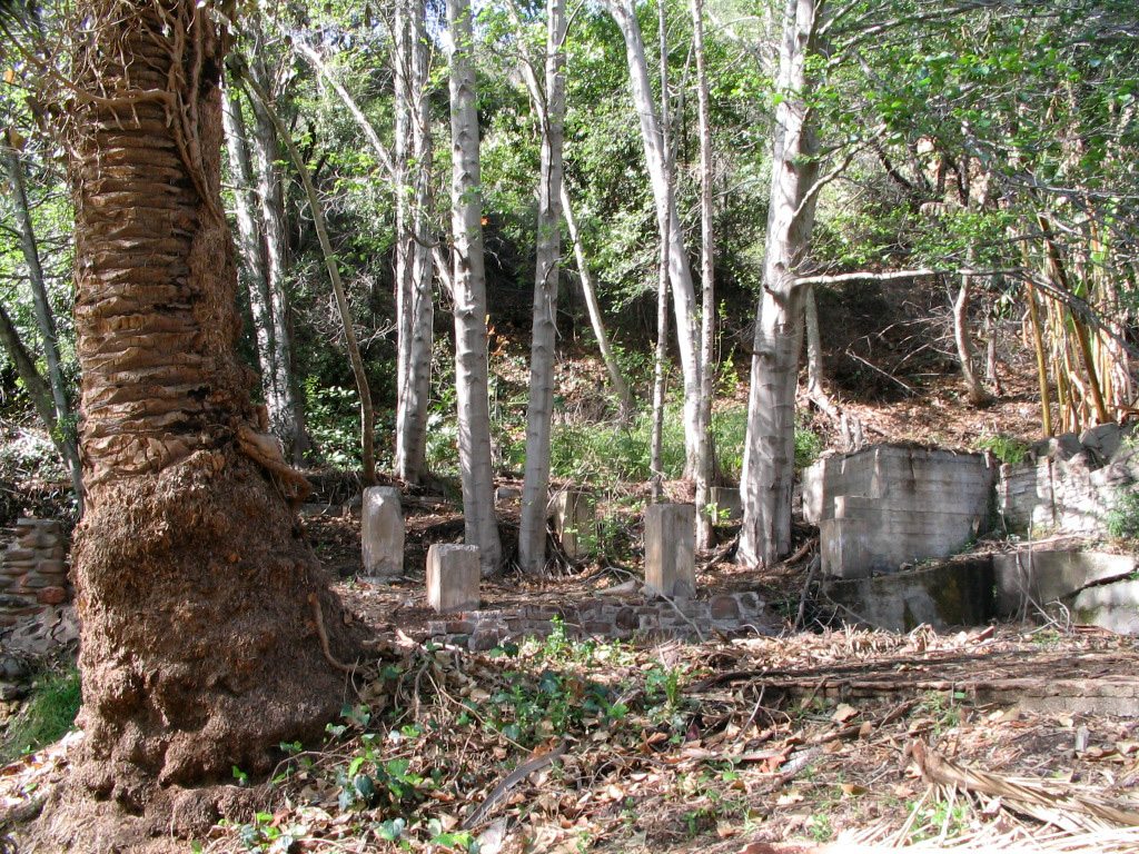
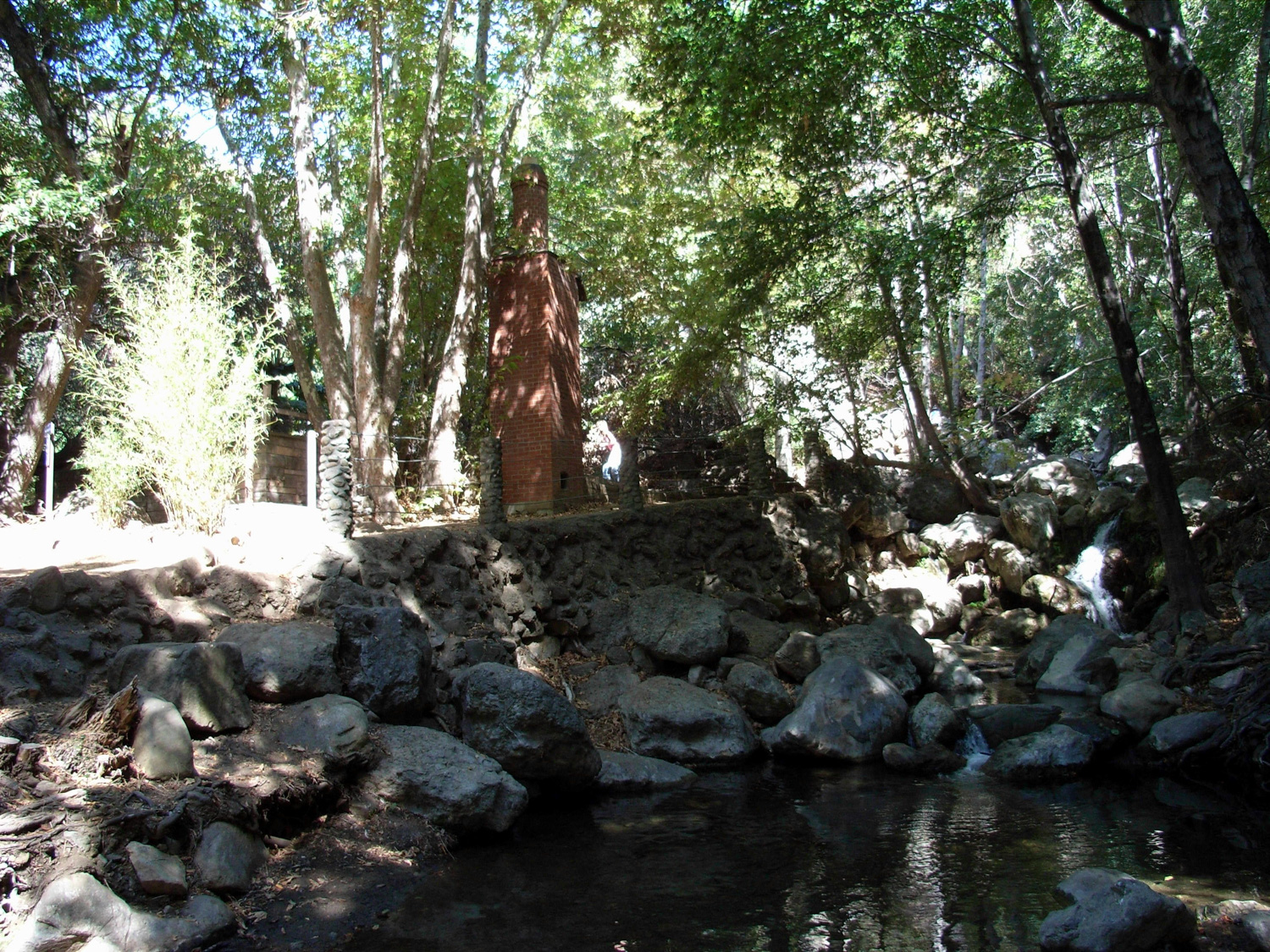
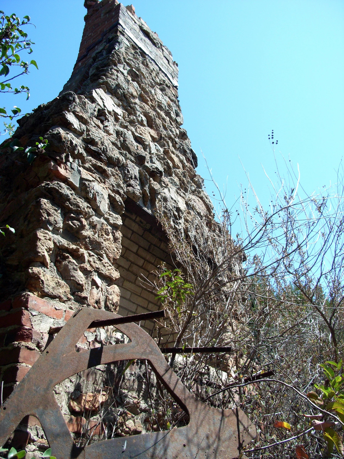
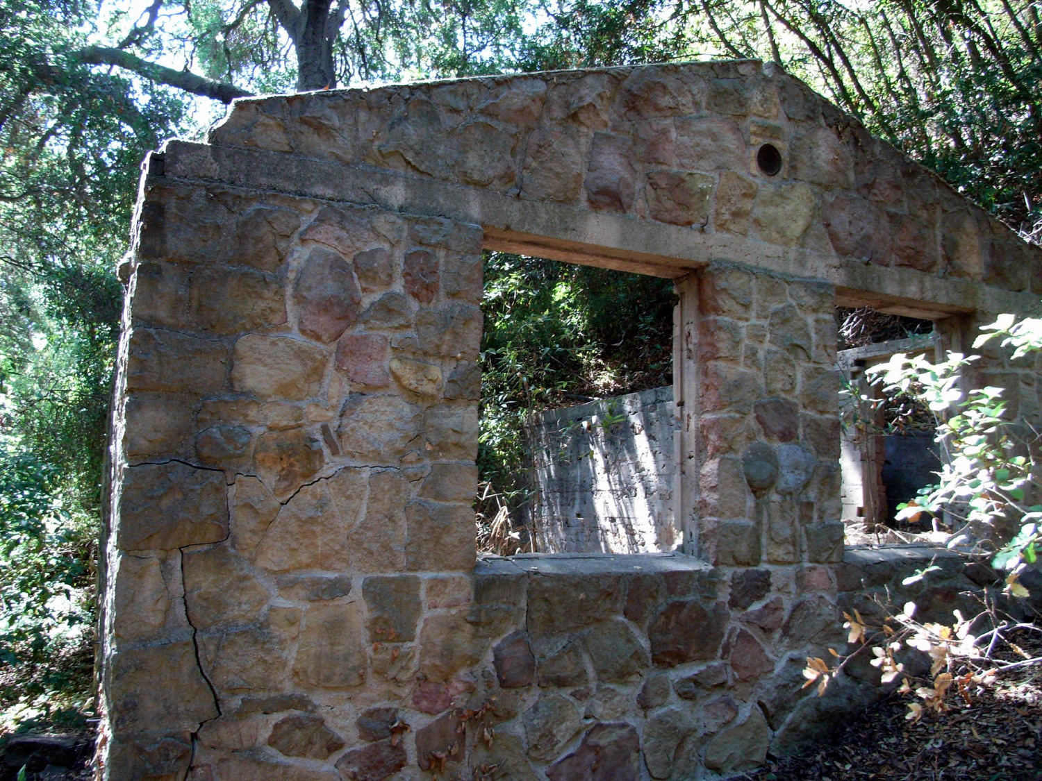
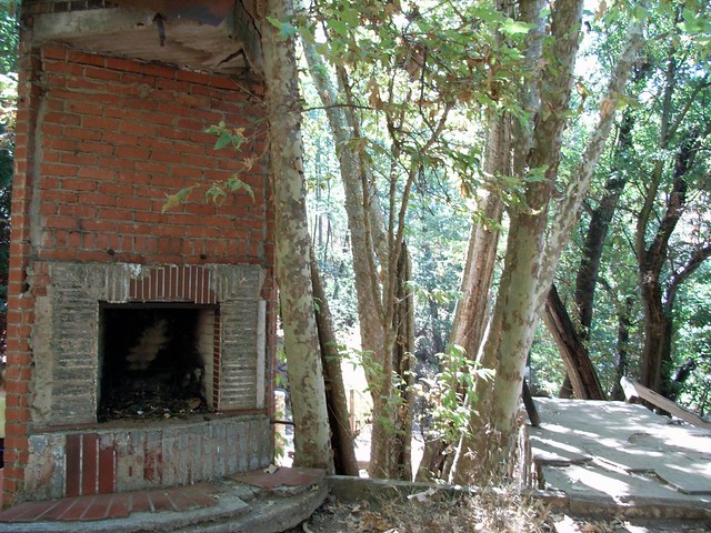
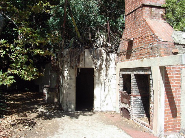
The Tropical Terrace house was built in 1952 by the renowned African-American architect Paul Revere Williams, who more than left his mark on Southern California. He designed more than 2,000 homes and many more public buildings, including homes for Frank Sinatra, Lucille Ball, and Barbara Stanwyck, as well as the Los Angeles County Courthouse, the Hollywood YMCA, the Arrowhead Springs Hotel in San Bernardino, and a redesign and remodel of the Beverly Hills Hotel. He assisted in the design of the iconic Theme Building at Los Angeles International Airport and the Shrine Auditorium. Hikers in the Eastern Sierra can also visit a cabin he built for “Man of a Thousand Faces” Lon Chaney on the North Fork of Big Pine Creek.
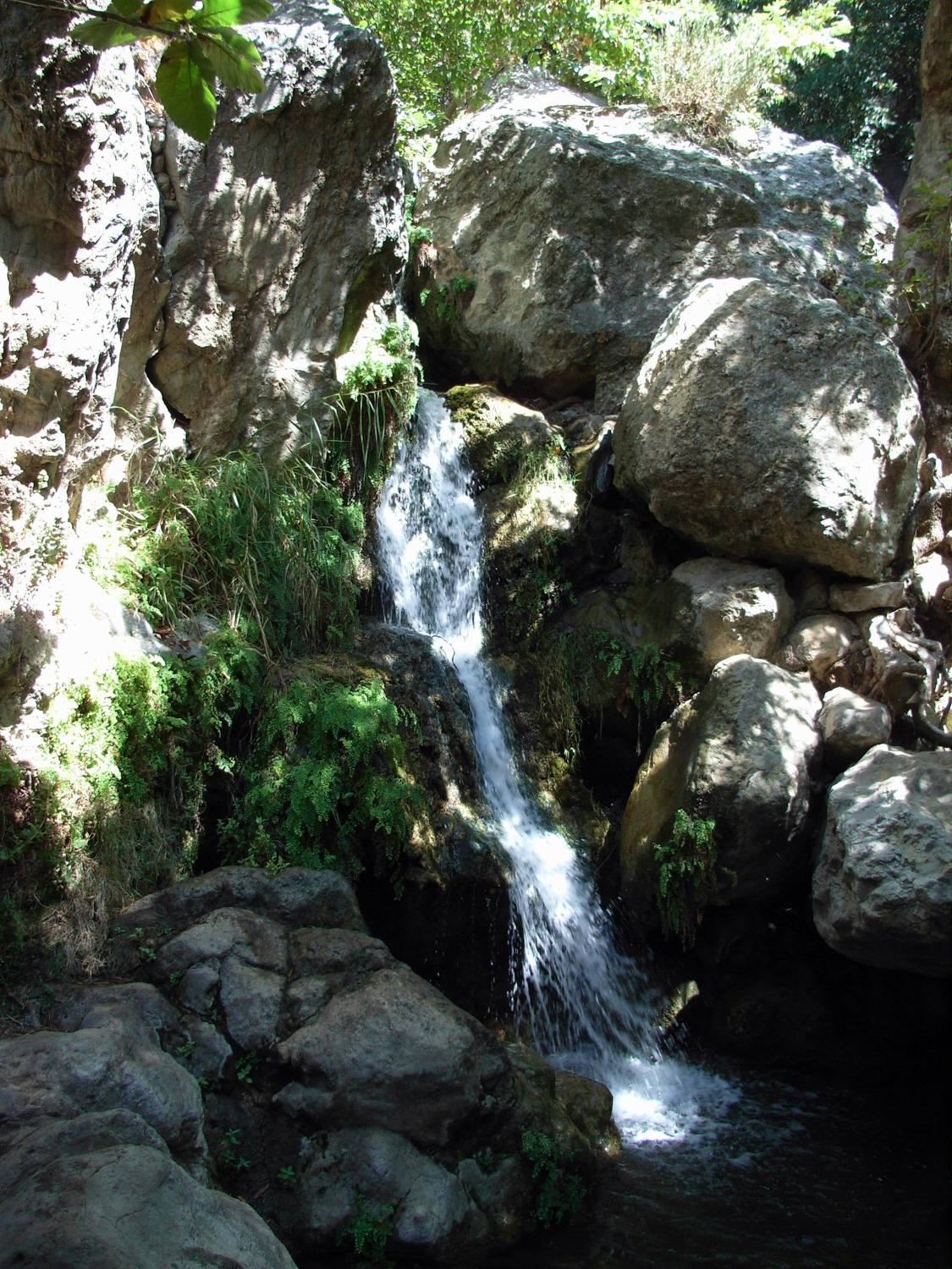
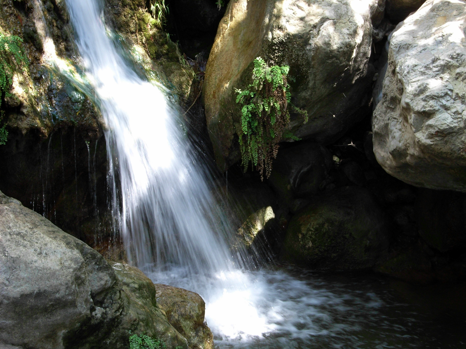
After getting your share of meditation your attentions will most likely turn toward the sound of rushing water coming from your immediate north. Just around the corner from the house is a small, multi-tiered waterfall with plenty of boulders to scramble around on.
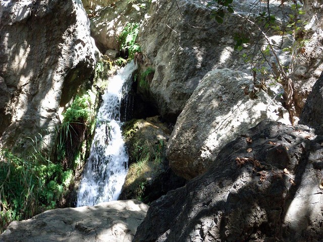

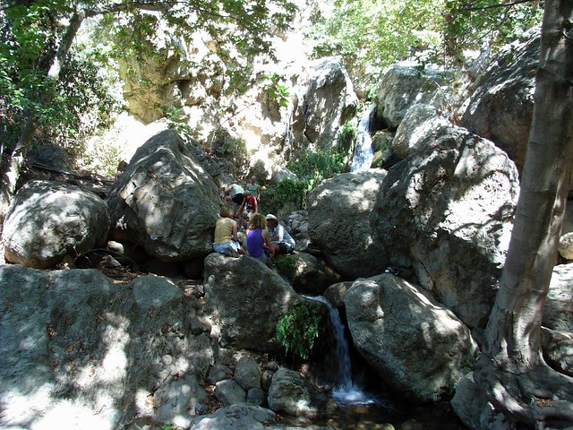
Crowded or not, this is one of the nicest easily-accessible waterfalls. It’s covered in shade, has a few shallow pools for foot-soaking, and is generally less crowded than the San Gabriels’ Switzer Falls. It’s also fantastic relief after the sauna of the Rising Sun Trail.
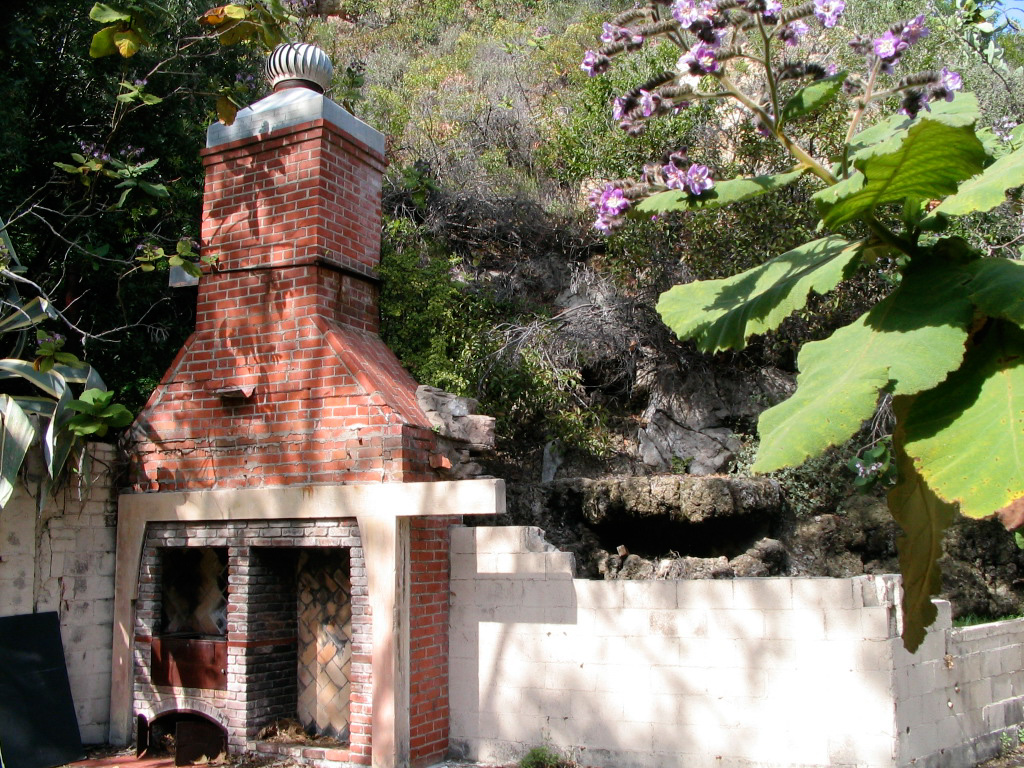
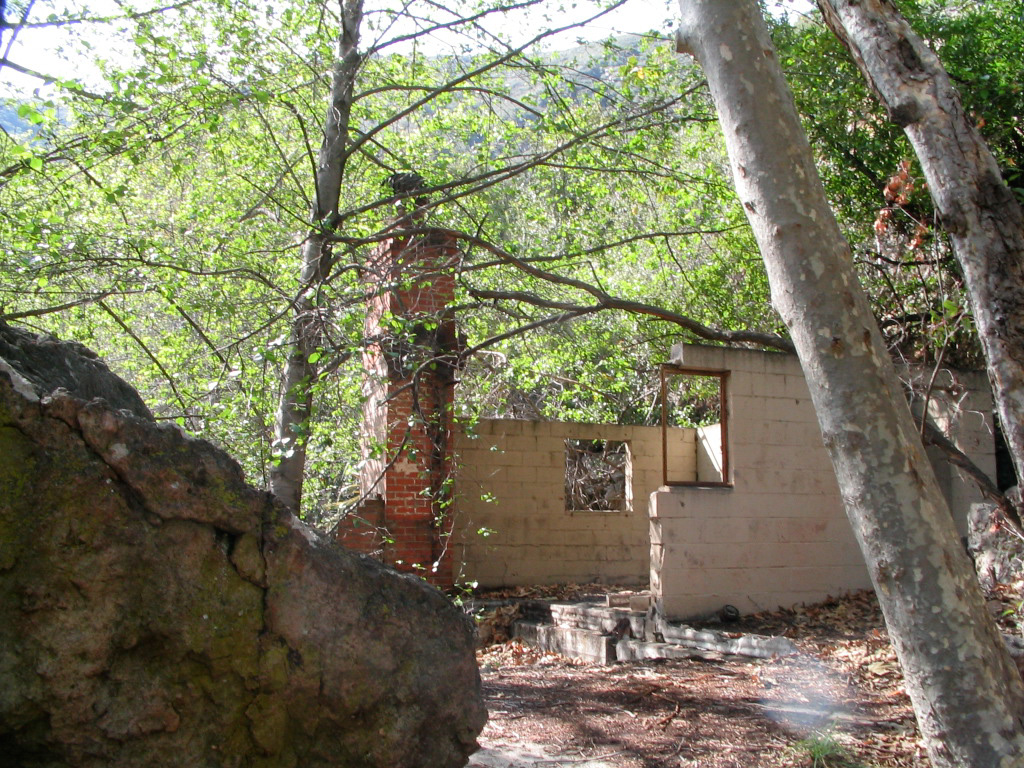
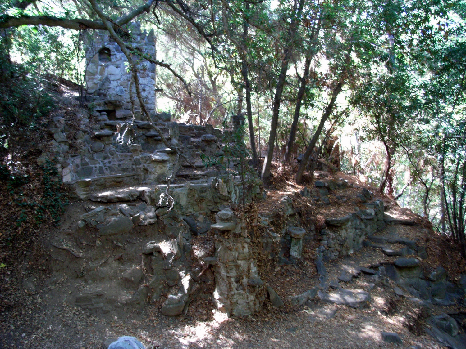
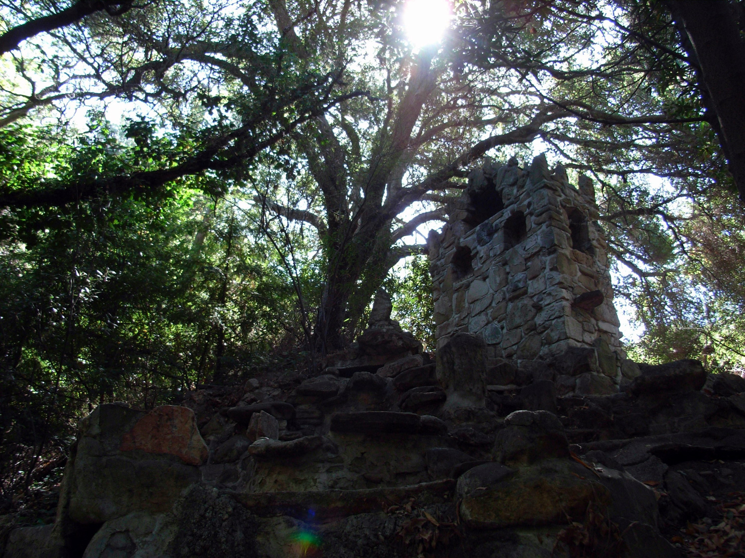
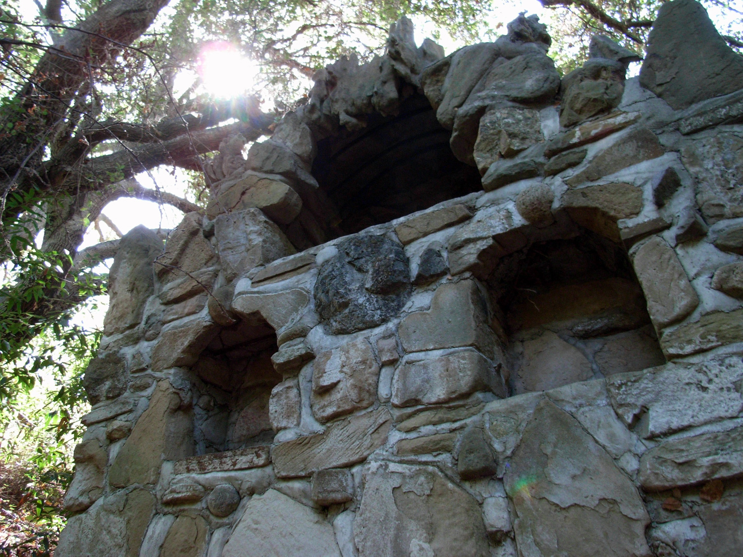
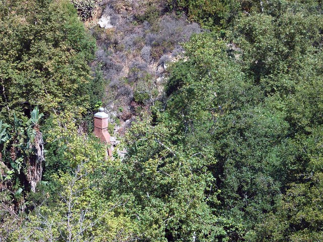
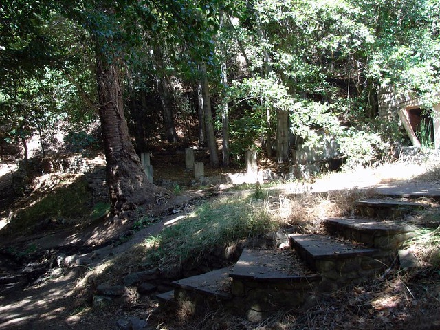
After you’re done cooling off, you can scramble up above the waterfall, or backtrack a bit and explore the ruins of the Tropical Terrace House. Despite burning down in 1982, the ruins are fairly well preserved. There are still several walls and chimneys standing, and you can still make out some of the stoves and furniture.
From here, you can just return to the trailhead via the paved path. But if you’re in the mood for more mileage, look for the junction with the Deer Valley Loop Trail just south of the ruins of the house. This trail is much less-traveled and isn’t in quite as good of a condition as the trails you’ve hiked on so far, but it’s a nice, more rugged option in the park that will help get you away from the crowds a bit.

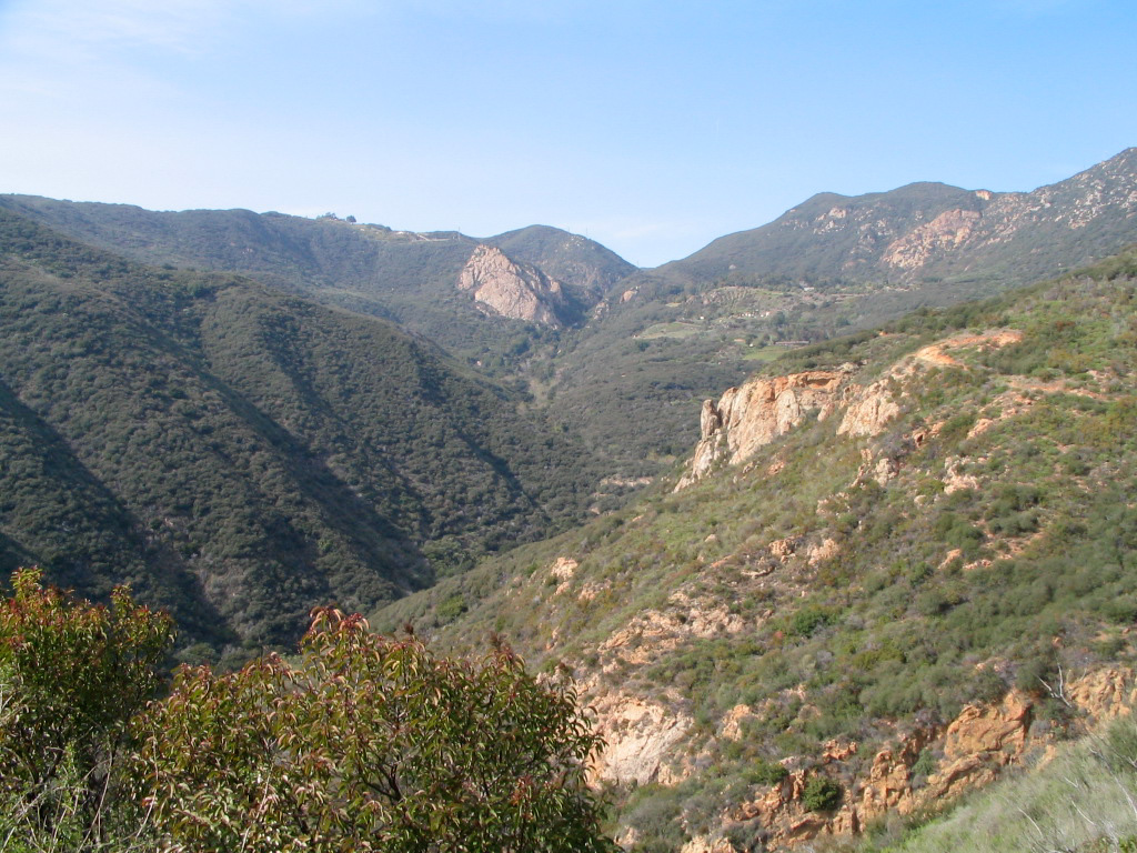
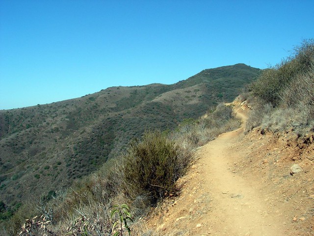
Eventually the trail meets up with the Deer Valley Loop, a 1.3 mile round trip that provides some great aerial views of the Pacific Ocean. Unfortunately, if you take the trail south first it sort of disintegrates in a meadow with no clear path. It was this, combined with the heat and my rapidly draining water supplies, that made me decide to call it a day and head back down to the main trail when I hiked … but I hear it’s nice up there.
Either way, you can get a nice perspective on the canyon from Sostomo.
Tags: dog-friendly, Hiking, Los Angeles, Mansion, Santa Monica, Santa Monica Mountains, Solstice Canyon, Trail Write-Ups, transit accessible, Waterfall