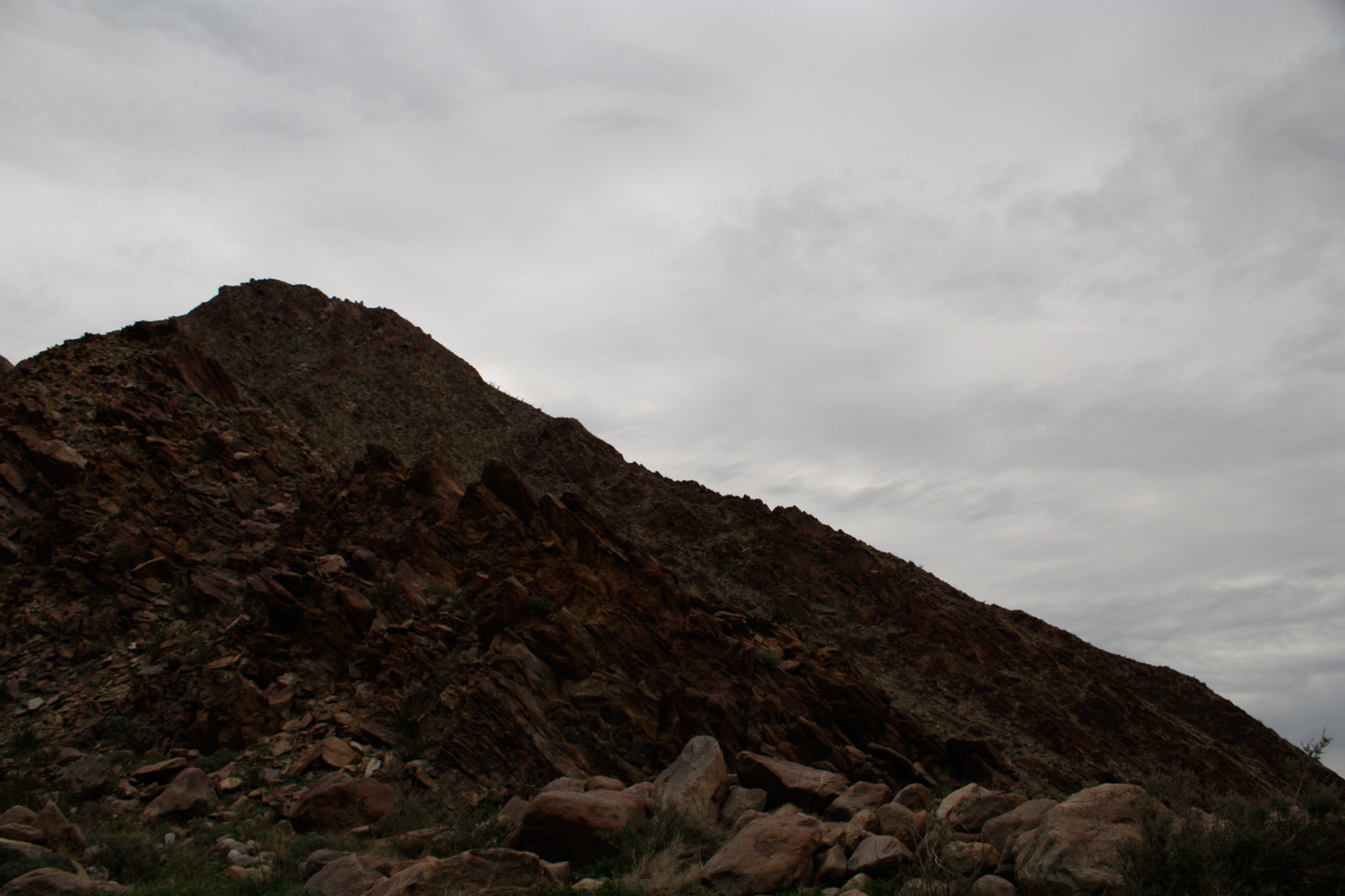
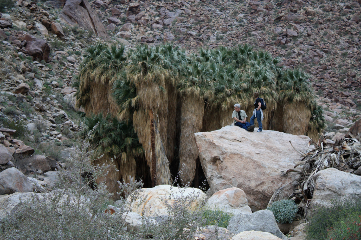
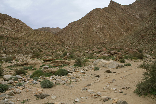
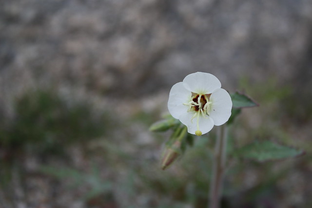
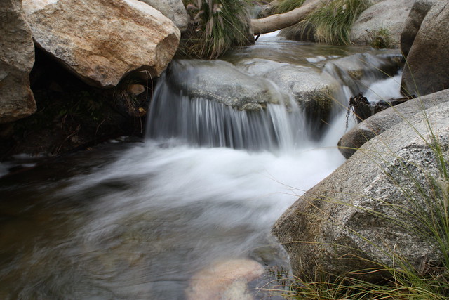
This relatively easy, 3-mile roundtrip down to Borrego Palm Canyon takes you into a rocky canyon to one of the last remaining naturally occurring native California palm groves left on the planet. This is a fascinating hike for amateur botanists and geologists, and desert hikers will be rewarded with a surprising amount of water along the trail. There’s a free pamphlet at the trailhead that will help identify items of biological and historical note along the way. A highly recommended hike to anyone visiting Anza-Borrego Desert State Park.
The trail to Borrego Palm Canyon is a popular route for day hikers and casual strollers, and it would be easy for more “hardcore” hikers to overlook. It’s short, it often has a healthy amount of trail traffic, and it’s located just outside of one of the two main reservation campgrounds in Anza-Borrego State Park. But, even if you’ve already been down the similar oasis trail in Hellhole Canyon, Borrego Palm Canyon is definitely worth a stop on your trip.
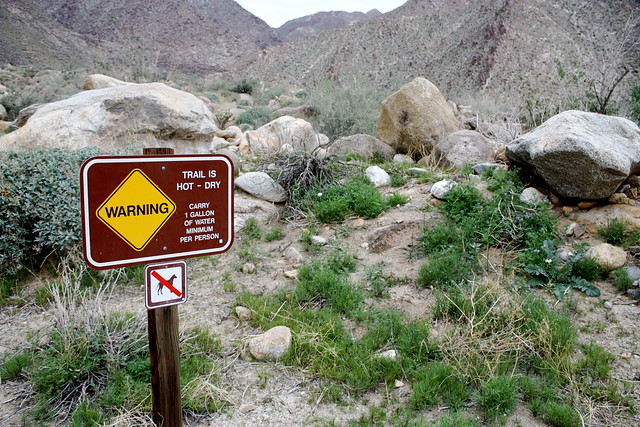
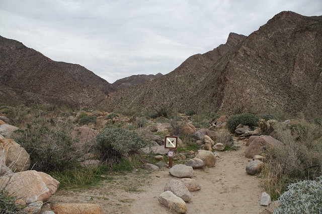
The trail itself starts at the end of a paved road west of the Borrego Palms Campground, the main campground for the north / western part of the park. The trailhead itself is very clearly marked, and the parking area had plenty of spaces when I was there. After you set foot on the the trail, you’re immediately greeted with a sign warning you how hot it can get in this canyon — this is your last chance to head back to your car to get more water. Make sure you have more than you think you need.
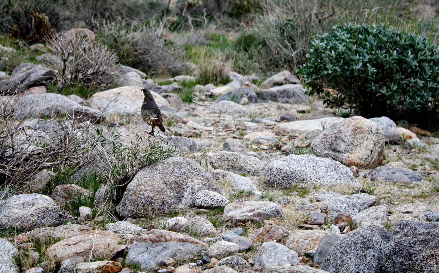
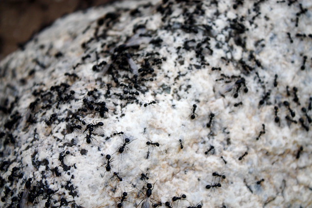
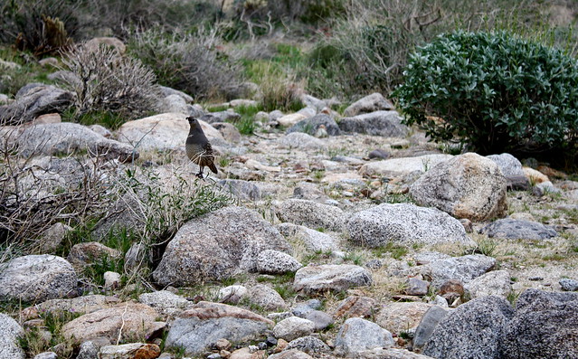
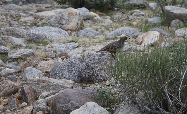
While climbing over some of the low rocks and boulders, I passed one that was covered in a swarm of ants — which are much larger out here than in L.A. And just as I passed over this rock, I heard the distinctive, squeaky call of two quails hopping down a side wash, headed toward the ants. Another hiker and I saw the birds and remained perfectly still as they walked toward us on their way to their six-legged snacks.
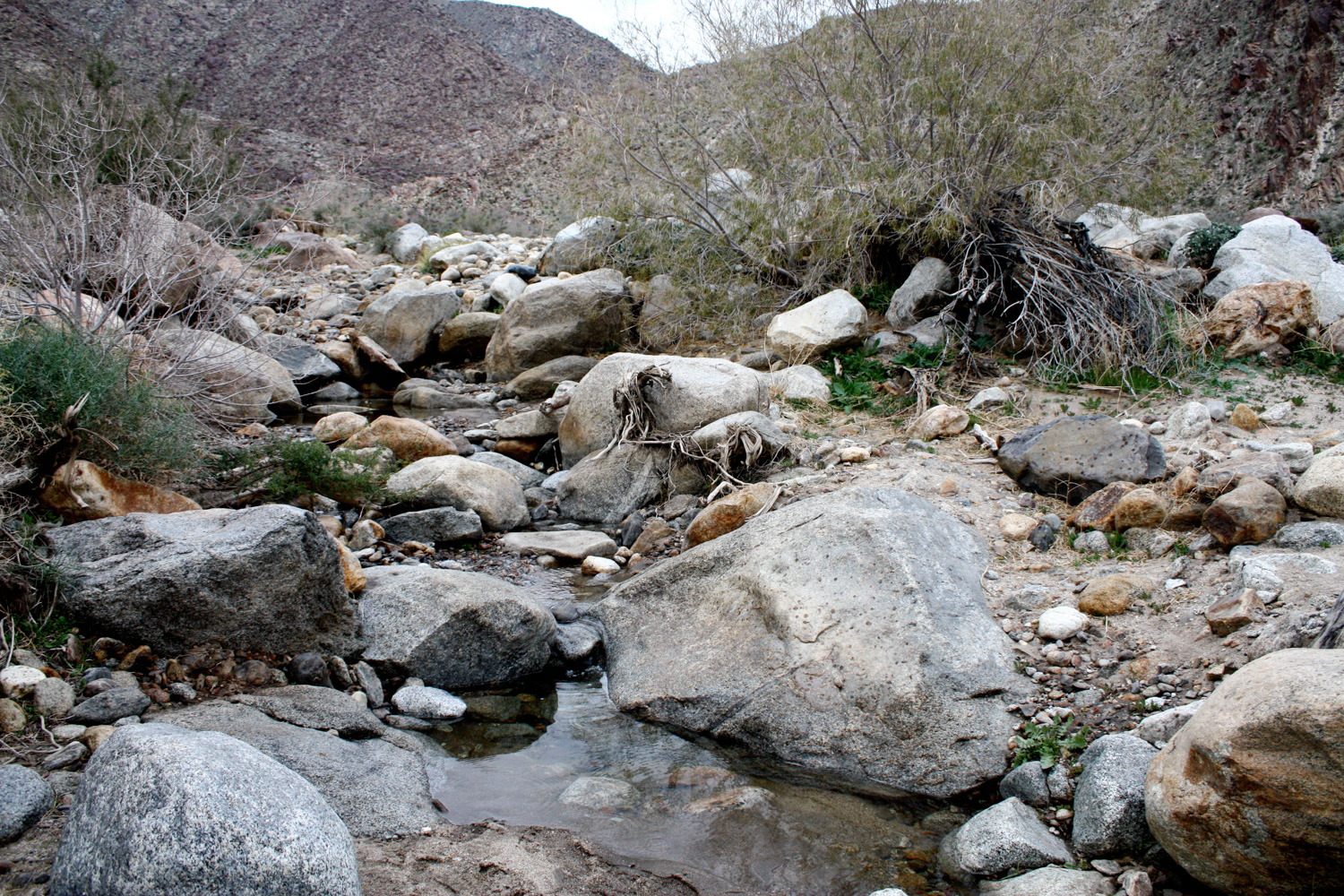
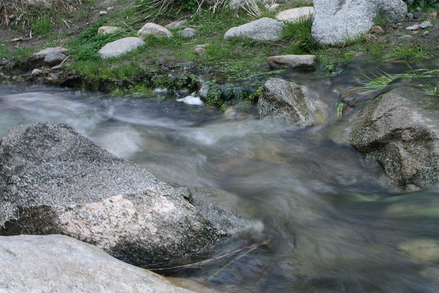
The trail meanders through some of these low boulders and ocotillo cacti for about 0.4 miles when it reaches the creek for the first time. Cross the creek, looking for the sign that marks the trail on the opposite bank. It shouldn’t be that difficult, as the water level is generally pretty low. You are in the desert, after all.

Continue heading west for just under 0.1 miles, when the trail makes a sharp turn north, following the canyon walls once again. Here, there is a use-trail that crosses the creek again. While you can take this, the actual trail veers to the right down a sandy side-wash paralleling the creek. Take this route instead, looking for the trail markers and boulder-hedges along the way:
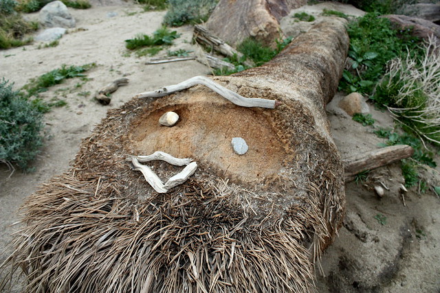
If you’re even luckier, you might come across some on-the-trail folk art:


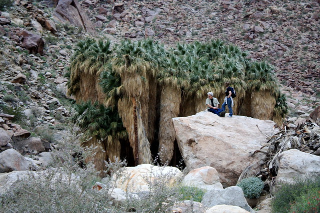
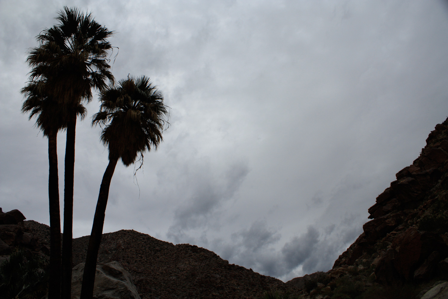
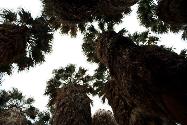
The palm trees themselves are very impressive. They seem larger and taller and … somehow … mildly more majestic than the bushy twigs that line boulevards all over L.A. Maybe it’s because they’re untrimmed, or because it has something to do with the fact that they’re out here in the middle of the desert, growing as they were meant to. But these are some palm trees I can actually respect.
Unfortunately, in January 2020 a fire burned most of this beautiful native palm oasis to the ground. Ecologists are confident the landscape will recover, but it may be several years before they start looking as majestic as they did before.
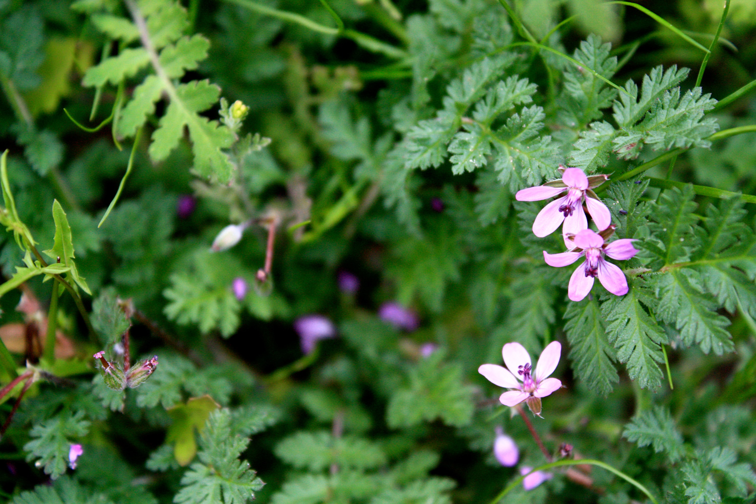
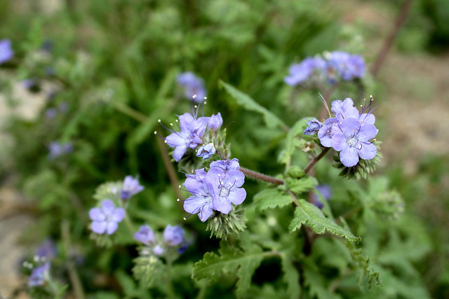
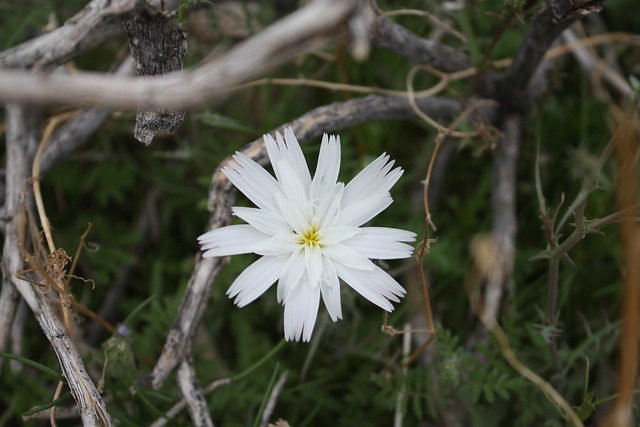
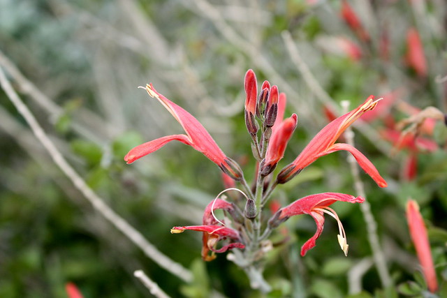
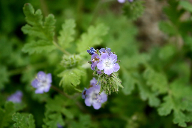
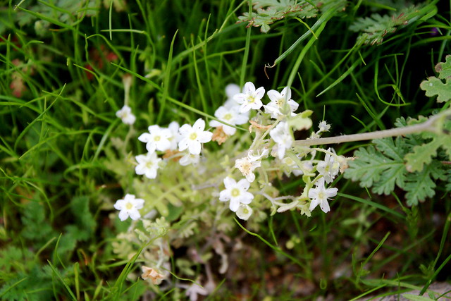
Tags: Anza-Borrego Desert State Park, borrego palm canyon, campground, canyon, desert, Hiking, palm oasis, water, wildflower blooms