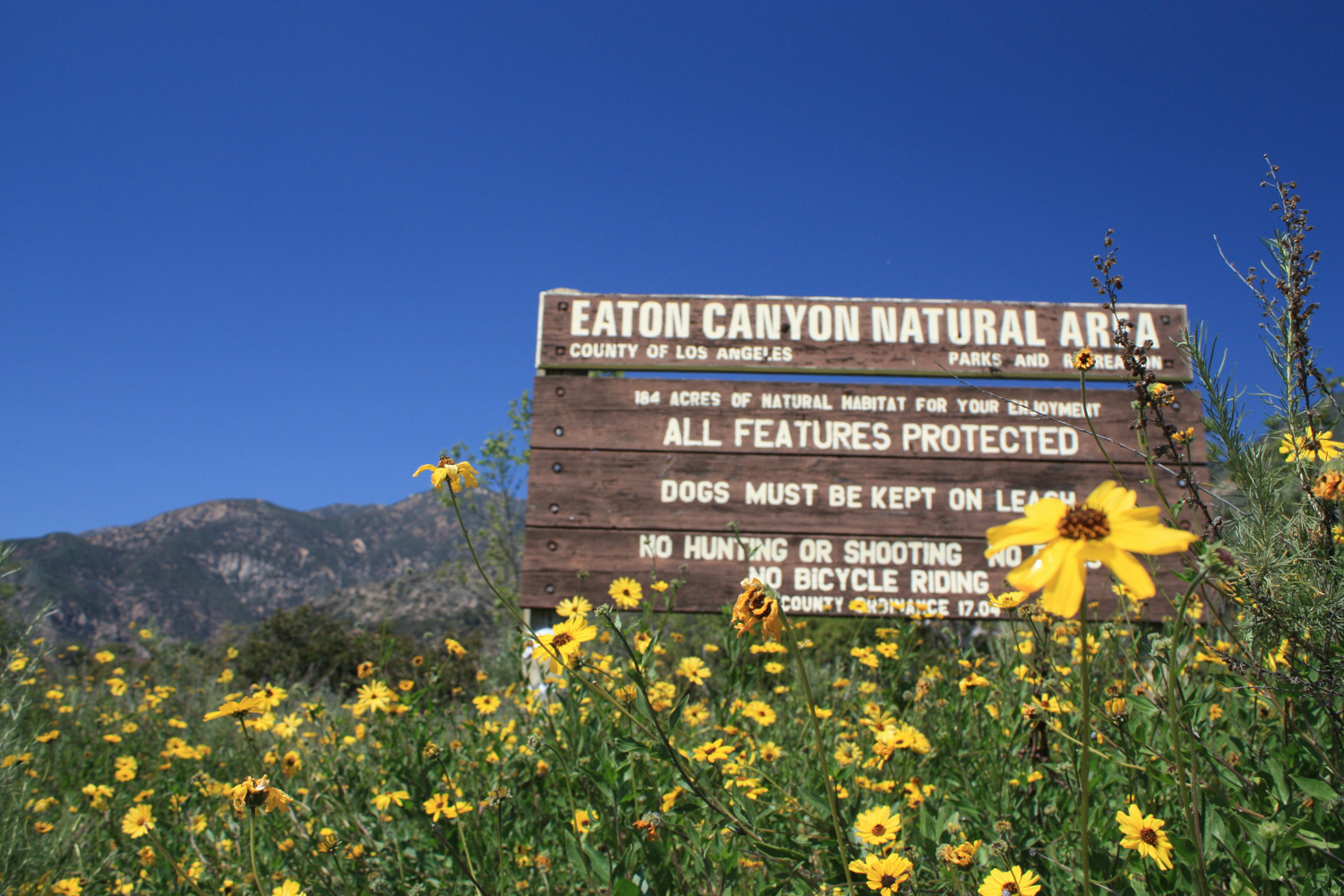
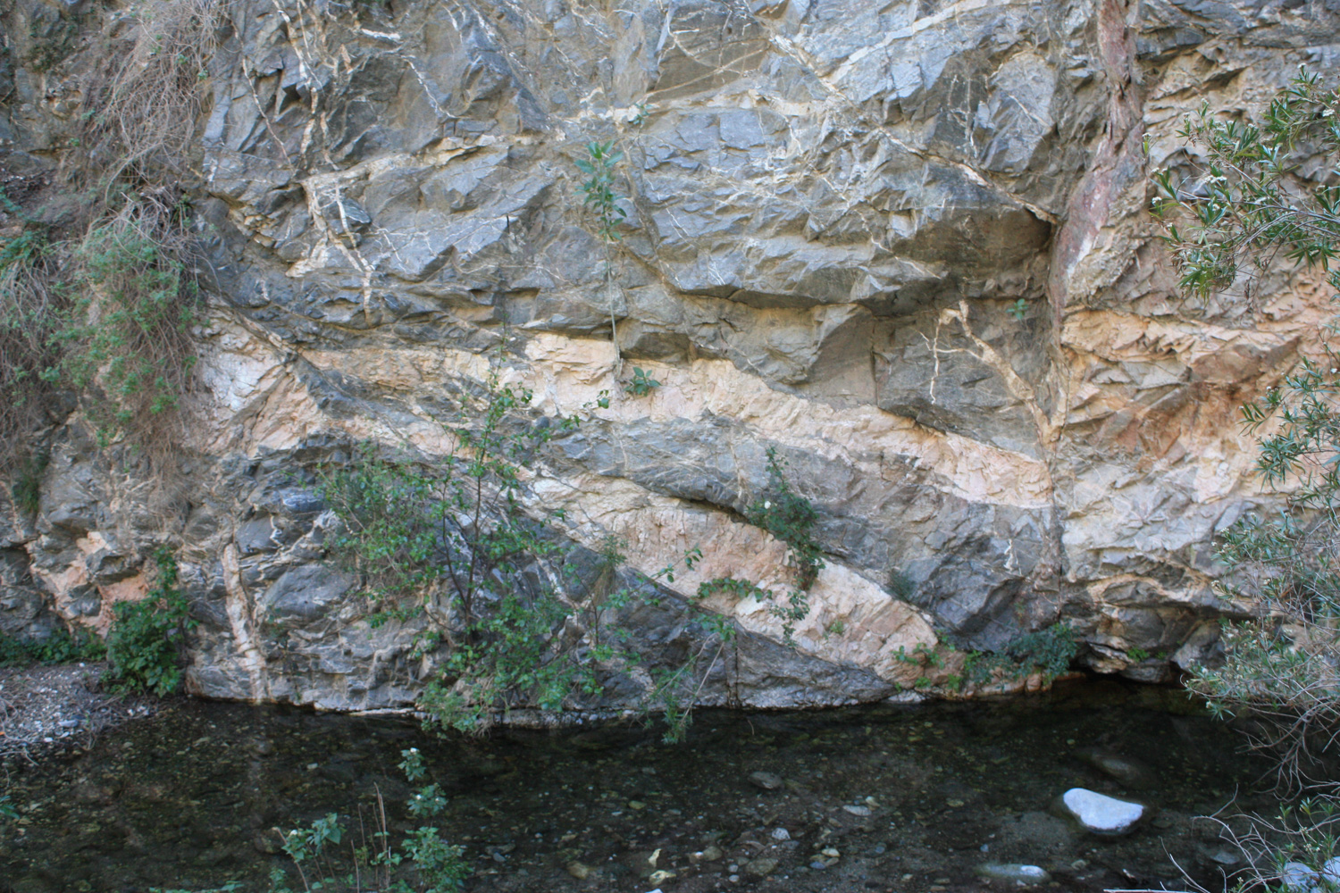
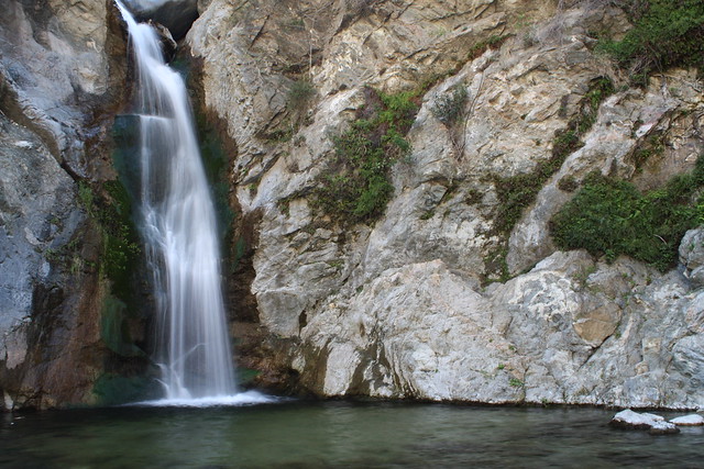
A relatively easy, >4 mile hike up a canyon in the lower San Gabriels to a 40-foot waterfall. This popular trail can get crowded on the weekends, but is still worth a visit – especially in the spring when wildflowers take over the lower portions of the canyon floor. Suitable for adventurous beginners, this trail has several stream crossings, and optional, MUCH more strenuous trails to the top of the falls, as well as another moderate trail on fire roads and single tracks through some of the eastern nature preserve outside the canyon. A must-see for waterfall lovers, even if you have to fight for a good view.
The Basics:
- Distance: 3.76 miles
- Elevation Gain: About 400 feet
- Time: About 90 minutes, depending on how long you want to linger at the falls or explore the meadows
- Trail Condition: Very good. Trails are heavily traveled and easily spotted. The major junction with the trail that heads toward the waterfall is clearly marked, and the official Eaton Canyon Trail has signs, but there are several use trails that spur off the main path that are unmarked. Stick to the main path for this hike, or explore the surrounding meadows and natural areas.
- How To get There: From the 210, take the Sierra Madre Blvd / Altadena Dr exit and head north. The park’s entrance will be on your right in 1.7 miles.
The Notables:
- A 40-foot, mostly year-round flowing waterfall
- Large swaths of wildflowers near the canyon’s mouth in spring
- Multiple stream crossings
- Relatively close to “civilization”
- Nature Center with docent-led hikes, open from 9AM to 5PM daily
More Pictures:
- on Flickr
No profile image for this hike — my GPS receiver got a little freaked out by the canyon walls, so the elevation readings are not very accurate
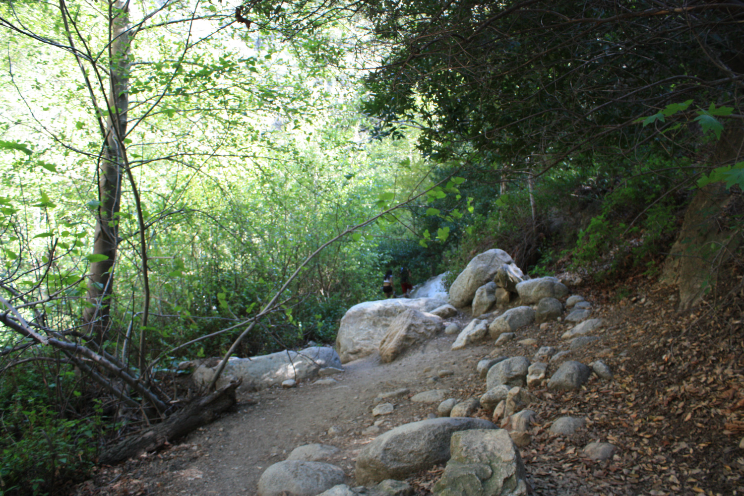
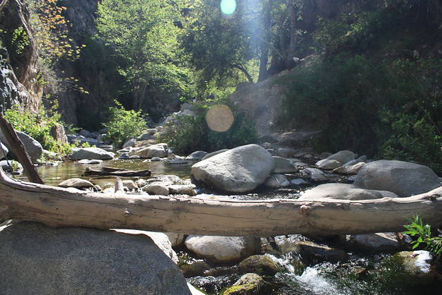
Eaton Canyon is one of those must-see hiking areas of L.A., both because the waterfall is actually impressive by San Gabriel standards, and that it’s so darn close to the city that you really don’t have any excuses not to go. The trail is easy to follow, and as long as you can hop across some boulders in a river (or have some hiking sandals to wade through), you’ll be just fine getting through the hike.
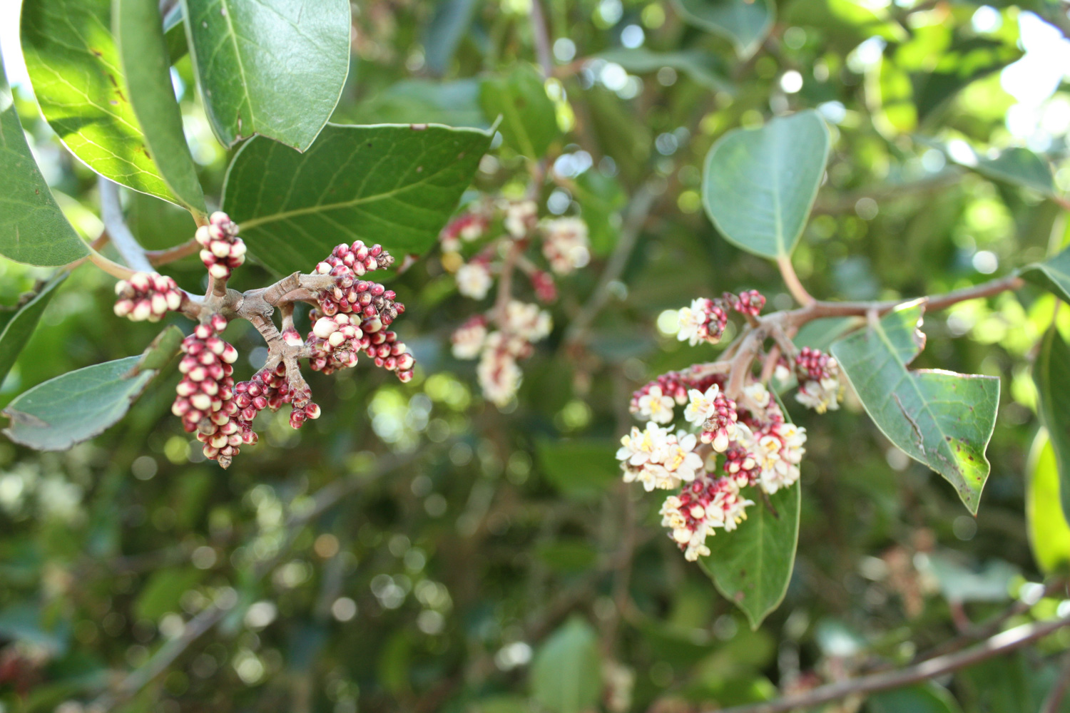
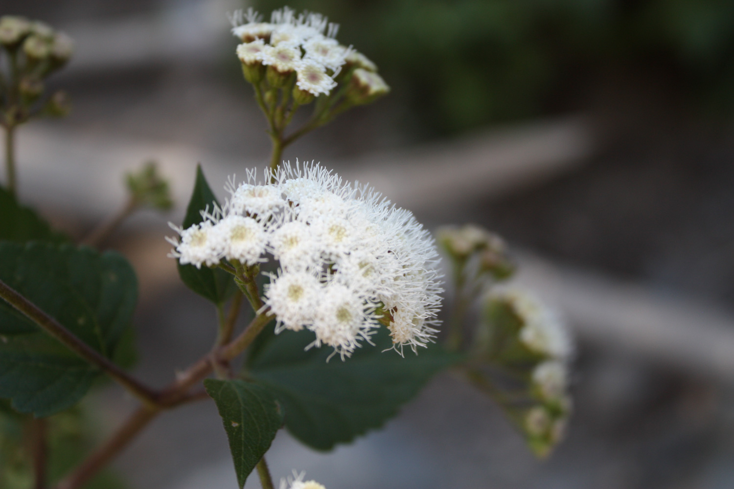
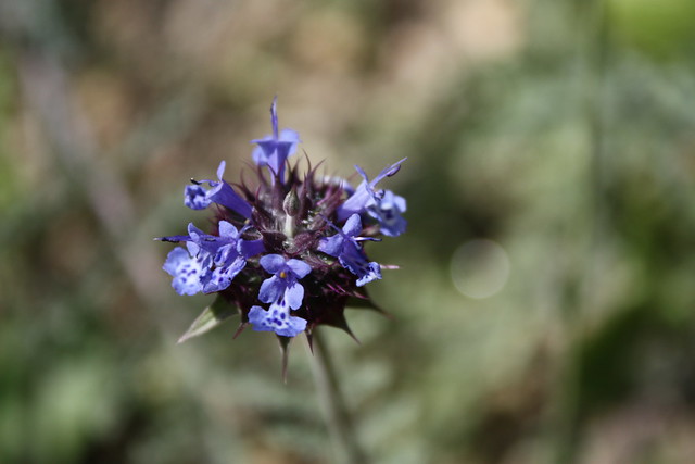
If you’re lucky enough to hike this area during the springtime, you may also get to see some great blooms near the trailhead.
The lower stretches of this trail are pretty level, and wind through some brush and chaparral on the way to Eaton Canyon Creek.
After that, it’s easy fire road hiking as the route follows just above the banks of the wide, rocky wash of the actual creek. Here, the trail gets a bit more verdant, and you may be able to spot a few more wildflower blooms along the way.
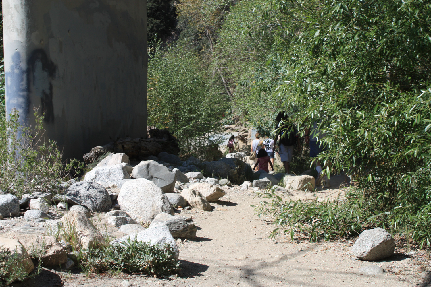
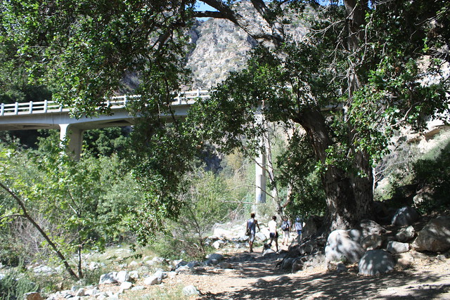
At about 0.6 miles, veer left on the Eaton Canyon Trail, heading toward the sign marked WATERFALL. It’s pretty clear. At just about the 1.2 mile mark, you’ll reach another junction, in sight of a concrete bridge. Here, head left again and follow the trail as it descends from the wider track and dips beneath the bridge.
From here on out, the trail is single-track, rocky, and prone to crossing the creek … a LOT. So get your balance ready, or make sure that extra pair of socks is secure in your pack, then continue on. At about the 1.8 mile mark, you’ll make a sharp bend in the canyon, turning west, and get your first view of the falls. From there, it’s just two more rocky crossings …
… and then you’re there!
Hopefully, you’ll be able to get a little bit of peace and quiet to yourself … but even if it’s crowded, you’ll be able to enjoy the sight and sounds of falling water and the feeling of cool mist. They’re naturally relaxing, and if it’s hot, you can even take a dip in a small pool at the base of the falls.
Return the way you came.
If you’re looking for adventure, right after that sharp bend in the canyon before the falls, there is a faint but distinct use-trail leading up a very steep canyon wall, that looks like this:
If you want to try your hand at some very strenuous scrambling, you can give this side-trail a go at your own risk. I haven’t done it personally, but I did see a small group coming down, and it looked like at least a class 2.5 scramble — maybe even 3 in parts (requiring the use of hands and feet, steep drop offs, etc).
If you want to extend this trip but don’t want to risk life and limb, hang a left at the trail junction just past the bridge, and head up the steep incline of the old Mount Wilson Toll Road toward Henninger Flats. There will be a trail that leads back down Walnut Canyon to near the Eaton Canyon visitor’s center. For more information, check out the venerable Dan Simpson’s page on the canyon.


Web Hosting by ReadySetConnect


{ 17 comments… read them below or add one }
I’ll be in SoCal next month, so I’ll make sure to check this trip out. Thanks for the detailed review. I’ve been reading your site for a while and never commented before now, but keep up the great work!
Thanks! Be sure to check out some of our other SoCal wilderness while you’re here, too. Feel free to email me if you’ve got specific questions!
It looks like an excellent hike, not quite a designated wilderness but with some of the traits. Very interesting.
Just FYI – make sure you bring some good walking/hiking shoes. To get to the waterfall, the trail actually ends, and you kind of have to “follow” others to find the waterfall. You have to climb some rocks and and hilly areas, but it’s worth it. The waterfall is nice…especially in the Spring time. However, it’s getting more popular these days. When I was in high school (i’m graduating college in a month) my friends and I used to hike there, and lounge all day in our inner tubes and eat lunch. Now it’s pretty crowded with random people from all over. Definitely not the same crowd that it used to be.
Did this trail this a.m. It was a lot of fun. A bit tricky in parts traversing the rocks over the running water. They are about 6 or places you have to cross before getting to the waterfall. I saw a few people carrying their very young children (<1 yr old) over the rocks. Best time to go is early morning during the week. Gets a bit touristy at the waterfall on weekends. Bring the dog and a camera.
With a heavy heart I was dropped of at a trailhead off of Altadena dr. I walked down across Eaton Canyon and found a trail directly across and walked up. It connected to the Wilson Toll Rd., I walked on and before long was at Hinninger Flats. Still with so much on my mind I walked on and my spirits lifted when I came out of the wooded area and the trail opened up to an incredible view of tall mountains. I took a break and pushed on with no idea where I was headed. I walked through more woods and then caught a beautiful view of the other side. The terrain was rocky and I felt so close to something but not sure what. It’s now 4:30pm and the sun is now my enemy as I watched it sinking into what appeared the ocean. I headed back down and still walked in the dark off the trail but i caught an incredible sunset. My question is how far had I hiked, how much elevation had I gained and how close was I to what I now know must have been Mount Wilson? Thanks, Danielle
I’m wondering if this trail has been affected by the rain recently. I know other roads and trails have been closed.
Toll Road was closed to all uses as of Feb 9.
They closed it for a while after the Jan snow/rain, then reopened it within a day or so (or at least the sign was down and people were all over the mountain!). Then, erosion and mud/rock slides would have made it virtually impassable for a car, but no problem for bikes, people, or horses.
Don’t know how long the current closure is. Hopefully, it is already open.
Eaton Canyon Falls was REALLY roaring on the 9th. Deep and fast water right after the bridge. Easiest way across was over a large log. But it’s easy to get psyched out as you cross.
Probably had to cross the river four or five more times to get to the falls. Most were pretty easy, but at least one required a pretty good leap and balance to stay dry (I don’t have either, so I splashed myself on one crossing). A walking stick helps. Waterproof boots would help even more.
Danielle–
Hard to say how far you went. My guess (0nly a guess–I don’t have GPS and I don’t know where my topos all went!) is that it’s only about 1.5 miles past Henninger Flats before you crest over to the east side and can see snowcovered peaks of the backrange, and clear over to Mt. San Antonio and surrounding peaks. If you went another 1.5 miles or so past that, you should have passed a trail junction sign for where the Winter Creeks/Mazanita Ridge trails out of Chantry Flats meet the Toll Road. There would have been some very worn out mileage distances on that sign.
A bit further, and you might have heard some buzzing from the top of Mt. Harvard. A little further still, and you’d see another trail junction sign for where the Old Mount Wilson Trail, coming out of Sierra Madre, meets the Toll Road. That sign would also have mileages. A few yards further and you’d have the main toll road going up towards Mount Wilson, and a trail veering off to the right of the road, up the hill. My guess is, via the trail, it’s a bit less than a mile from there to the Pavilion atop Mt. Wilson.
My friends and I (including my friend’s 8 year old daughter) just went on this hike this past Sunday. It was very fun climbing over all the rocks. Eventually three out of the four us managed to get wet, though. The rocks can be slippery so beware…your shoes and, if you slip too much, butt may be get wet. All the recent rains provided quite a bit of water in the stream and the waterfall has some very nice flow.
It was quite crowded, especially at the waterfall. People love to bring their kids and dogs. We started around 11am I think. I think the weather was perfect, though it was a bit warm at times in direct sun. It cooled off some once you got into the canyon part with all the rocks and shade.
All in all, a VERY fun hike. There were even some people practicing rappelling off toll road bridge.
-Kevin
Hiked the Altadena Crest Trail today, which starts just west of the bridge. Followed the route out to the “exit” on Zane Grey Terrace, then followed the signs ’til it joined the Sam Merrill Trail. Kind of an adventure to follow the path. Not very scenic or anything–just different.
Meanwhnile, across the bridge, the old toll road was open to users again. I may be heading up that trail again soon.
Just did a quick trip up Eaton Canyon and the water level was low enough to make it an easy hike. With a little bit of nimbleness you can easily avoid wet shoes.
Did this hike today. It’s an incredibly docile hike (I even managed to run all the way back from the waterfall) and people bring their little kids. At the waterfall, there were a couple of guys sitting drinking beer (it’s probably illegal, right?)
I also did the crazy side trail that brings you to the top of the waterfall. There’s actually a second waterfall that you can slide down and you can get to it by just following the stream on top, but I didn’t have time to do it (people said it’s like a 25 min. hike, and it was almost 6 pm and I didn’t want to get stuck there in the dark). But anyway, the path going up is pretty crazy. You definitely have to use your hands and feet a lot to scale rock walls (with a nice drop-off behind you) and then walk across little ledges with drops on both sides. If you’re afraid of heights or not very nimble, I wouldn’t attempt this. I even had to sit for a couple minutes to calm down a little bit at first haha. There’s actually even a spot where there’s a rope you hold on to to help you get across a small ledge. Exhilarating, for sure. Just keep going up the ridge and follow the red arrows to go in the right direction.
Just did the hike today with hubby and our little dog. Lots of fun, be prepared for your feet to get wet! It’s one of those hikes where it’s best to just accept early on that you’ll have squishy feet by the end, and go ahead and slosh through the water from the start. It just rained a couple of days ago so I’m sure that contributed to the high water level, and it really added to the spectacular flow at the fall! It was a lot heavier than I’ve seen in pictures.
Wonderful hike, thank you for this and all your other articles!
Do yo guys know whats after the second waterfall?
Hey, Casey. I got a chance last week to try this trail, and used your write-up as my guide. Thanks, it was perfect! And a really fun trail.
Glad you dug it! Hopefully it wasn’t too crowded when you went!
{ 5 trackbacks }