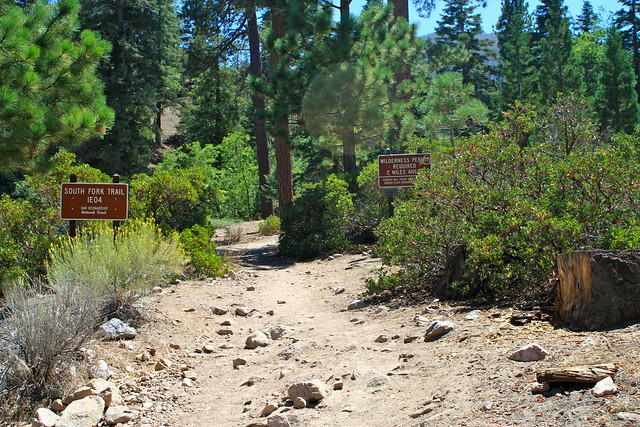
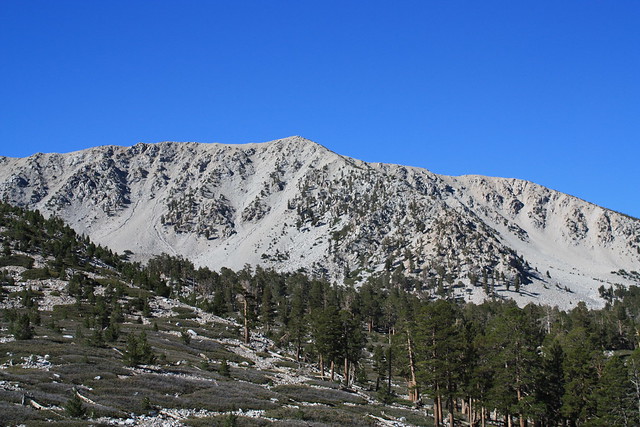
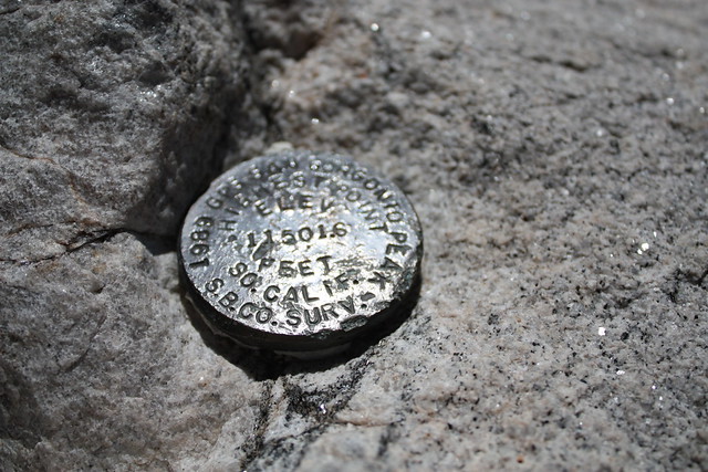
The fact that San Gorgonio Mountain is the tallest peak in Southern California (11,502 feet) is reason enough to hike it – the breathtaking 360 degree vistas and stunning alpine scenery along the way are icing on the cake. This trip follows the South Fork Trail, approaching the peak from the north. It is longer than other approaches, but has a relatively gradual elevation gain. This trail also passes through Dry Lake, which is a great place to camp if you want to make this into a 2-day backpack (highly recommended).
*** Additional Red Tape *** This hike is almost completely within the boundaries of the San Gorgonio Wilderness, and a Wilderness Permit is required. Wilderness Permits are free, and can be obtained at the Mill Creek Ranger Station on the way in. Day Hike and Overnight Permits can be found here, and should be faxed in no later than 72 hours before your trip (the office is closed holidays, Tuesdays, and Wednesdays). Some trails and camps do reach their quotas, especially in the summer, so plan ahead. The Mill Creek Ranger Station accepts permit requests up to 90 days before the trip.
If you are camping (or just planning to filter creek water), it is also wise to check the snow and water levels and bear activities along the various trails in the San Gorgonio Wilderness. The San Gorgonio Wilderness Association maintains a well-updated web site for all of this information.
San Gorgonio Mountain was the site of my first backpacking experience. That trip, ascending on the Fish Creek Trail, was ill-fated for many reasons – mostly due to our lack of general preparedness and a bout of altitude sickness. We didn’t get to summit then, so I was determined to correct that on this try.
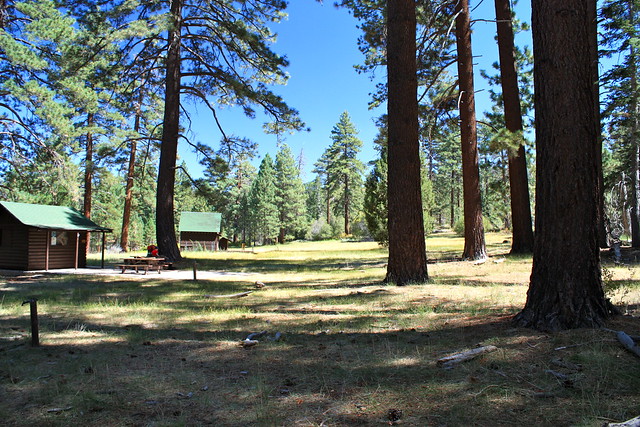
On this trip, I was accompanied by Kolby from 100 Hikes and the very entertaining new hiking-blogging team behind What Would Ed Do, and after getting all of our gear into the car, driving up, and hanging out at Jenks Lake for a bit to get used to the higher elevation, we hoisted our packs on at the South Fork Station and started the journey.
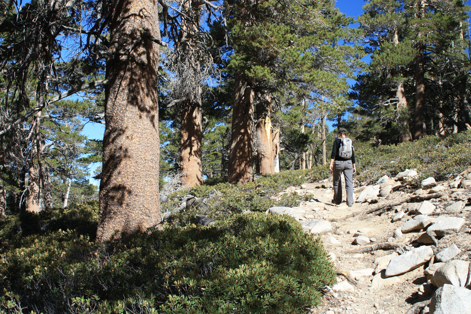
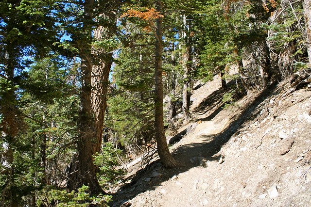
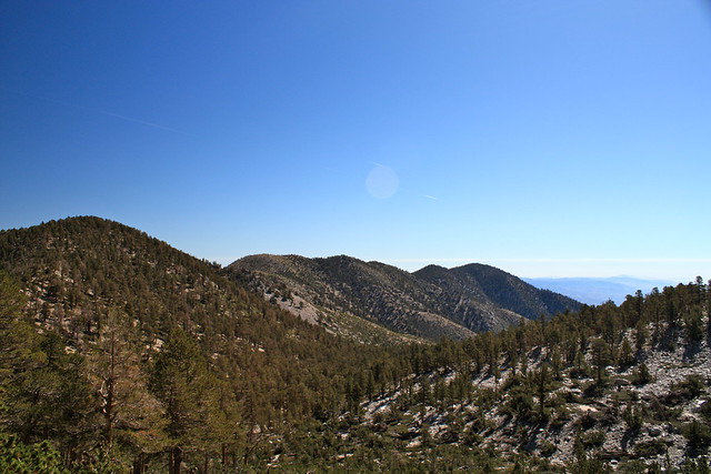
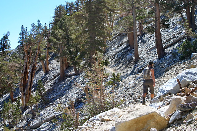
The first 1.5 miles of the trail ascend about 600 feet, bending around a few canyons and seemingly backtracking on itself. This section of the trail, like almost the entire route, is very well shaded, even though the bigger trees are a bit further along.
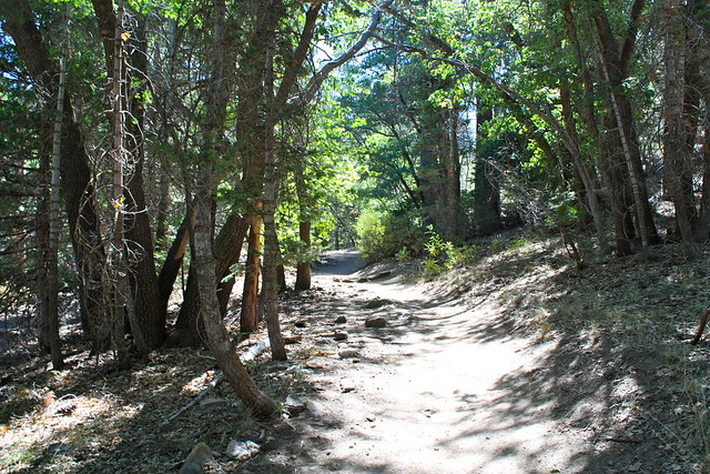
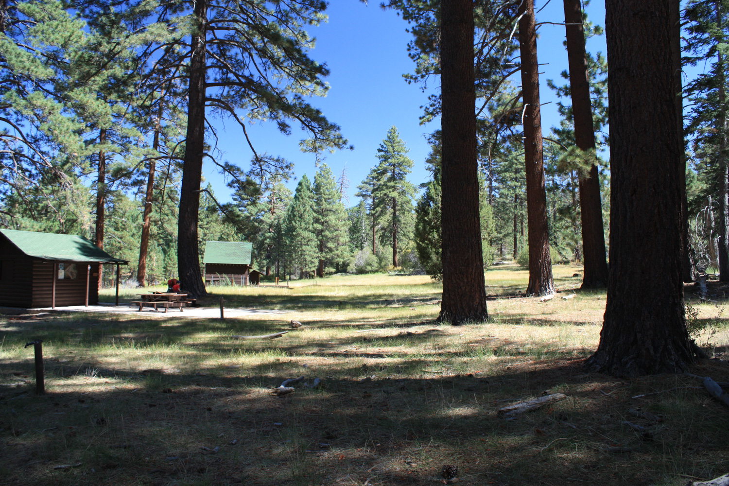
In 1.5 miles, the trail reaches historic Horse Meadows, the site of a former equestrian camp. It’s a nice place to set for your first break, especially if you’re still getting used to carrying 30 pounds on your back.
Continue southeast on the South Fork Trail, ignoring a fire road heading west AND a trail heading east, entering the San Gorgonio Wilderness proper. Be sure you have your Wilderness Permit on you – because rangers do patrol this trail, and they will ask to see it. I think we got asked a total of four times over our trip.
Here, the trail takes a rare shadeless stretch through some low brush and manzanita, as it skirts the southwest slope of the colorfully named Poopout Hill.
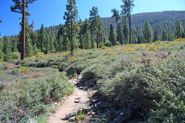
At 2.5 miles, you can take a short spur trail to the peak of Poopout Hill (el. 7741), but odds are, you’ll probably skip it and just continue on the South Fork Trail. I made a mental note to try to stop here on the way back out, but never got around to it. We did, however, stop for a group photo at the wilderness boundary sign (which, according to maps, differs from the actual wilderness boundary):

Me, Shawnte, and Kolby at the boundary. No turning back!
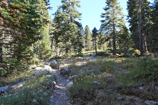
The next 1.8 mile stretch of trail is very shaded and relatively level – so enjoy it. To your east, you will be able to see a small stream, shaded by tall trees and surrounded by grasses. This is the South Fork of the Santa Ana River, which eventually ends up in the Pacific Ocean near Huntington Beach. There is an old trail that leaves the South Fork Trail here, and appears to run right alongside the stream. Ignore this route, and stay on the clearer trail.
At the end of this stretch, the South Fork Trail meets with the Grinnell Ridge Trail – a 5.2 mile trail ascent from the South Fork Camp. Stay straight at the junction and continue south for another 0.3 miles … here, the trail starts gaining in elevation, and you’ll start to notice it again. You’re at 8000 feet right now, and over the next 2.1 miles, you’ll rise to 9070.
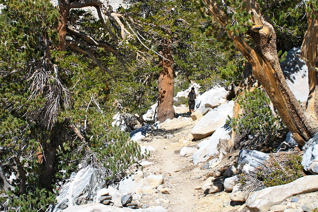
Here, The South Fork Trail ends and splits into the Dollar Lake and Dry Lake Trails. Stay to the left at the junction to head on the Dry Lake Trail, which hops across the South Fork of the Santa Ana a few times and heads into some seriously picturesque alpine territory. Now might also be a good time to check your water reserves to see if you need to do a quick refill.
For the next 1.8 miles, the Dry Lake Trail makes five short-moderate switchbacks up the far western slope of Grinnell Mountain, slowly taking you away from the water and closer toward the treeline and those tantalizing (and approaching) peaks.
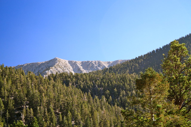
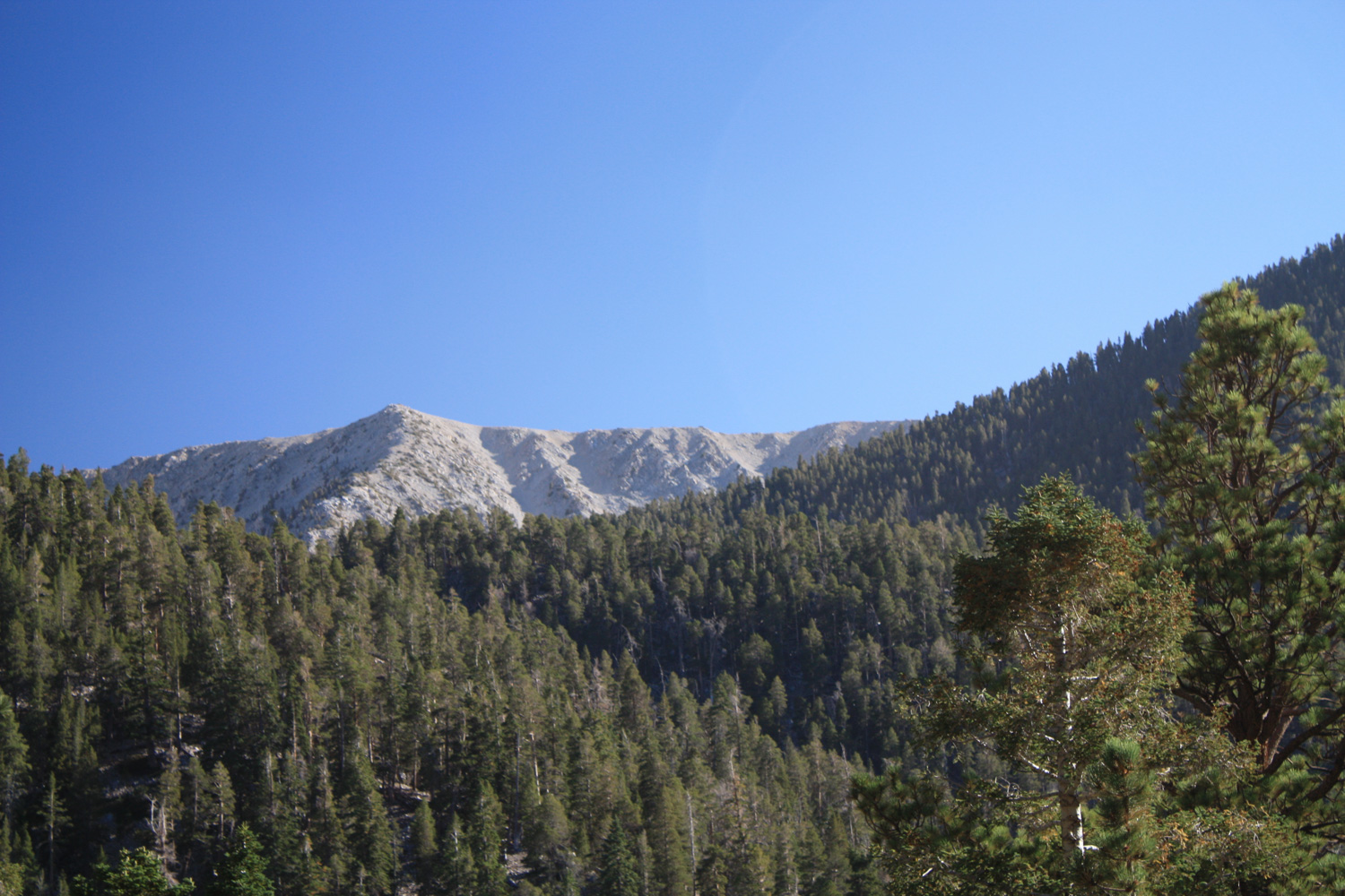
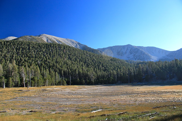
Eventually, the trail levels out a bit, and you’ll come upon the wide-open expanse of Dry Lake, which – depending on what time of year you’re hiking – will either be a shallow alpine lake or a wide alpine meadow. The surrounding north slope of San Gorgonio to the south and Charlton Peak to the west make a great bowl formation, with you in the middle.
A short trip to the east along the banks of Dry Lake will bring you to Dry Lake Wilderness Camp, which is an excellent, shaded place to set up camp. If it’s too crowded or you like to be closer to water, you can continue 0.4 miles further southeast to Lodgepole Camp, which is near the mostly-always-flowing Lodgepole Spring.
We set up camp at Dry Lake, cooked dinner, and mentally prepared to summit the next morning. Kolby had some mild altitude sickness on the way up, but seemed to be in pretty good shape after a bit of rest, and the remainder of the party were in good health and spirits – despite setting our alarms for 5AM.
The next morning, after spending a lot of time filtering some water for the ascent, we crossed Dry Lake toward the southwest and picked up the trail again.
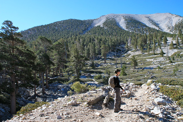
The trail from Dry Lake begins climbing up a creek bed that’s mostly loose rocks and scree, but does start to provide you some of your best views of the east slopes of Charlton and Jepson Peaks.
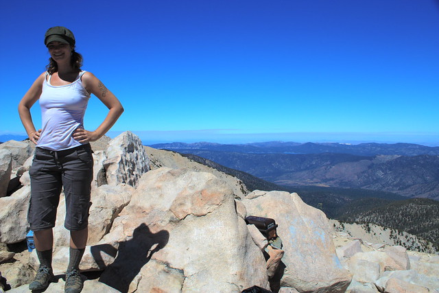
Here, Shawnte stands on the loose-rock trail, with one of the north slopes of San Gorgonio behind her … it’s still a long, long way to go:
In 1.3 miles, you’ll pass by Trail Flat Camp, another wilderness camp that’s basically a group of small clearings among the rocks and trees. From here, the trail continues another 0.7 miles, switchbacking once and carrying you across a long ridge with some decent views of Dry Lake beneath you. After the 0.7 miles, you’ll find yourself at a trail junction at Mine Shaft Saddle, elevation 9850 feet.
There are a few strewn logs at this saddle, and that combined with the steady breeze makes this a pretty good place to kick off your shoes and take a breather if you need it. The toughest part of the trail is just ahead of you, so get yourself prepared.
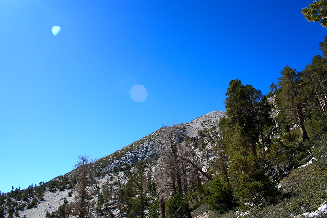
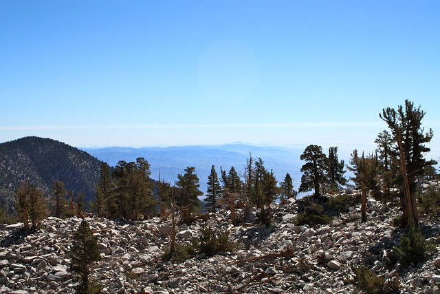
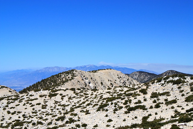
Keep right at the junction and start on the 3.2 mile Sky High Trail, which climbs 1430 feet on mostly shadeless, relentless switchbacks – 11 in all. Even though the switchbacking portion of the trail is tedious and long, there’s enough spellbinding scenery to keep you mostly distracted. You’ll have great views of the Ten Thousand Foot Ridge to the west, and even some of Joshua Tree’s Little San Bernardinos a bit further.
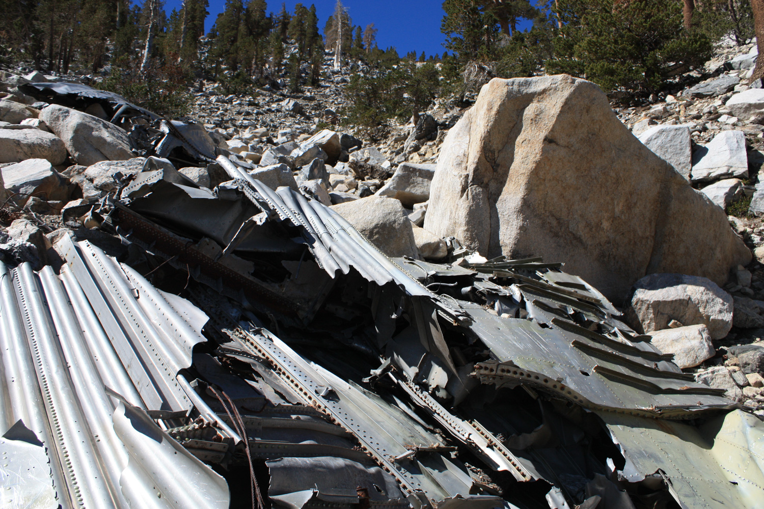
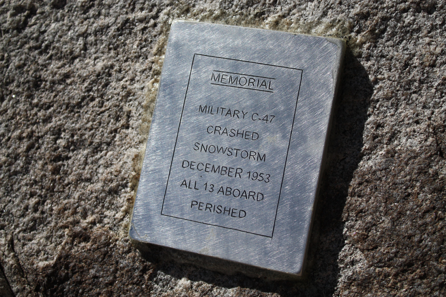
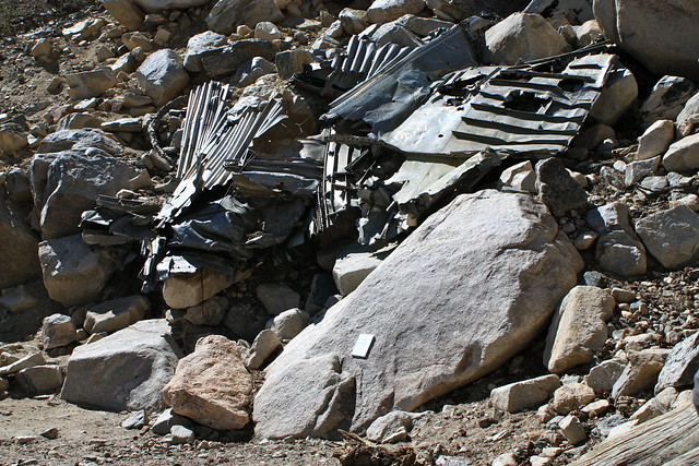
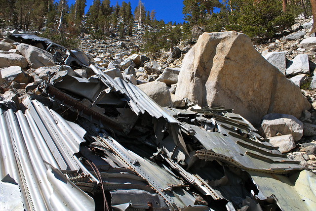
Just before the actual switchbacks kick into gear, you’ll also pass the wreckage of a military C-47 that crashed in the winter of 1953, killing all 13 on board. Someone was kind enough to come and place a plaque in memorial of the victims, but the wreckage remains a strange and fascinating side trip on the trail.
When you’re done paying your respects, continue toward the switchbacks. Be forewarned that there are a few “iffy” spots on this section of the trail – nothing that should prevent you from hiking it, but if you get vertigo or are a bit afraid of heights, they may give you some pause.
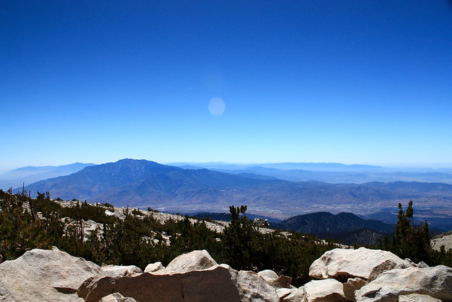
Once you’re done with the switchbacks, the trail loops west, just below the actual summit of San Gorgonio. Here, you’ll get a great appreciation for the jagged front country of the San Bernardinos, which is remarkably more rugged than our San Gabriels:
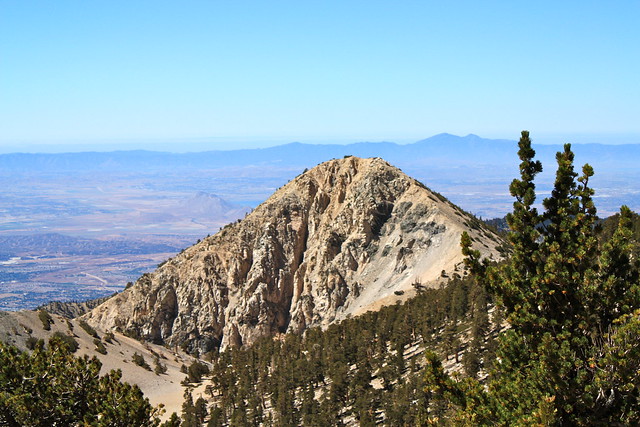
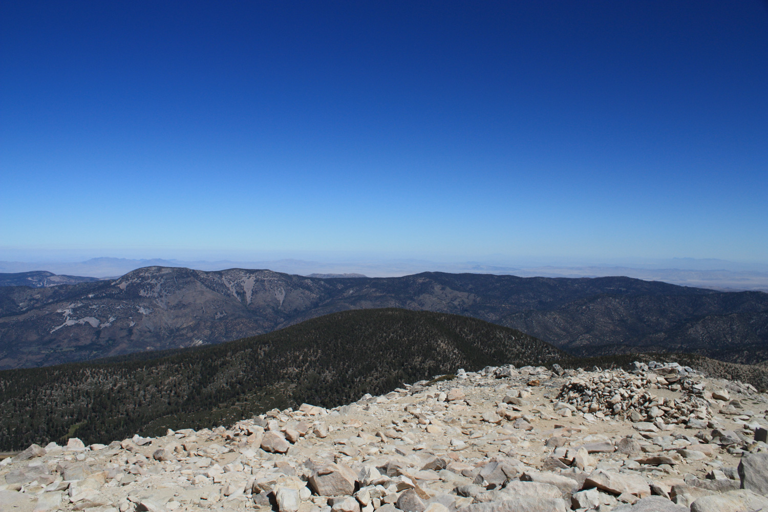
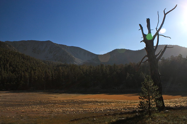
This is The Tarn – a barren valley between two folds of the mountain. It’s a lake in the winter and early spring, and it looks like a desert all other times. Behind it is Mount San Jacinto, just across the 10.

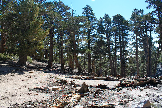
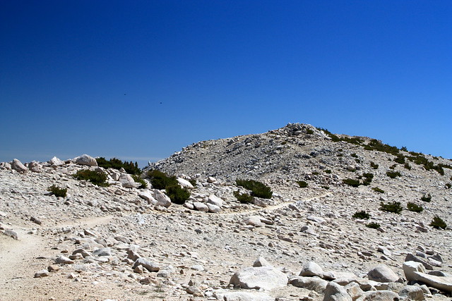
By the time you’ve finished this stretch of the Sky High Trail, you will have left behind the hardy limber pines and ascended past the tree line completely. Only a few small bushes, mosses and lichens can survive up here. The Sky High Trail meets up with the San Bernardino Peak Divide Trail at 11360 feet, and from here it’s only 0.4 miles to the summit of San Gorgonio.
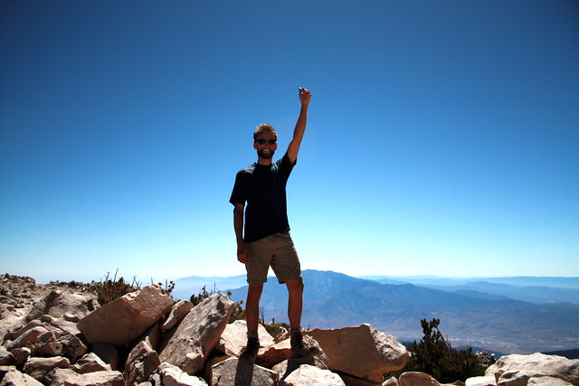
At this point in the trail, Shawnte and I were both in pretty bad shape. She was just about out of water, and I was down to my last half-liter. We were both probably suffering from some mild exposure from being in the direct sunlight for so long, and dealing with the altitude making us both a bit more lethargic than we were used to being … the last 0.4 miles to the summit was more of a slow shuffle than a hike, I’d say, but we still made it.
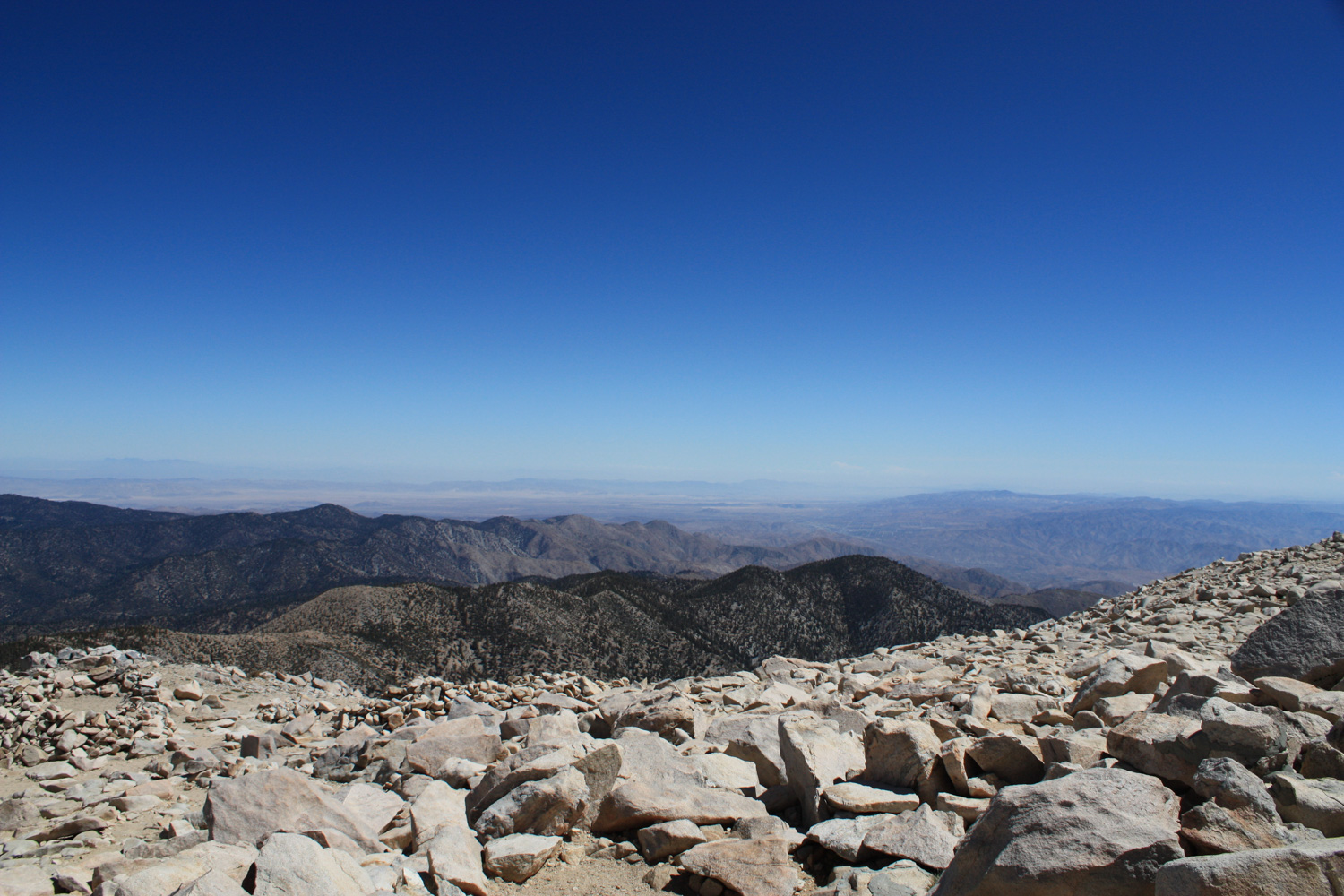
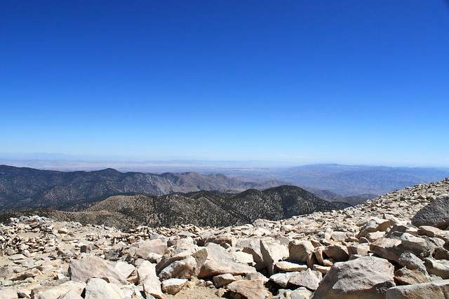
The views, as one would expect, are unbelievable. We could make out Big Bear Lake to the north, the peaks in Joshua Tree to the east, San Jacinto to the South, and could even see Mount Baldy and the smoke from the Station Fire to the west:

Usually when I get to the summit of a big hike like this, I just want to lie down and relax for a while … but there was something about being this high up, in this much sun, and knowing that we still had to pack up camp and backpack to the trailhead that made me not want to spend a lot of time up here. My body was just telling me that it was probably in its best interest to get back down to a sensible elevation, so I listened.
We signed the register, took some photos, and hightailed it out of there as fast as our exhausted, dehydrated bodies would let us. When we got to the trailhead, the rest of the group was waiting with ice-cold gatorades – and I really couldn’t have asked for anything better.
Tags: Backpacking, Camping, Hiking, San Bernardino National Forest, san gorgonio mountain, San Gorgonio Wilderness, south fork trail