A convenient, dog-friendly hike in the northwest side of Elysian Park, near the heart of Los Angeles itself. This short route offers some decent portions of elevation gain, good shade, and great views of the valley and downtown Los Angeles when the air is clear – all in a park seldom-used by L.A. hikers outside of the neighborhood. Great for a quick pre-work trek or for when you just don’t feel like driving a long time to get to the trailhead.
Elysian Park is the oldest and second largest park in the city of Los Angeles, but I hadn’t really spent much time in the park until mid last year. Well known amongst nearby residents, the park does offer some picturesque and relatively easy hiking trails, is very dog-friendly, and is centrally located – so I wanted to try to highlight some of the park’s better trail options for urban hikers or those who just might want to squeeze in a quick trail before work.
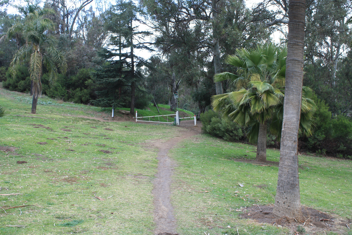
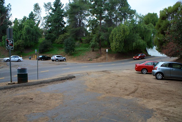
This route circles some of the nicer hiking areas of the park’s northwest corner, beginning near the entrance to the Grace E. Simons Lodge. Park on the north side of Elysian Park Drive or walk to the corner of that road and Stadium Way from the parking lot on Chavez Ravine Road, and look on the north side of the road for a beaten footpath and gate. This is your trailhead.
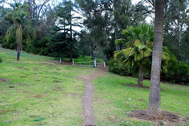
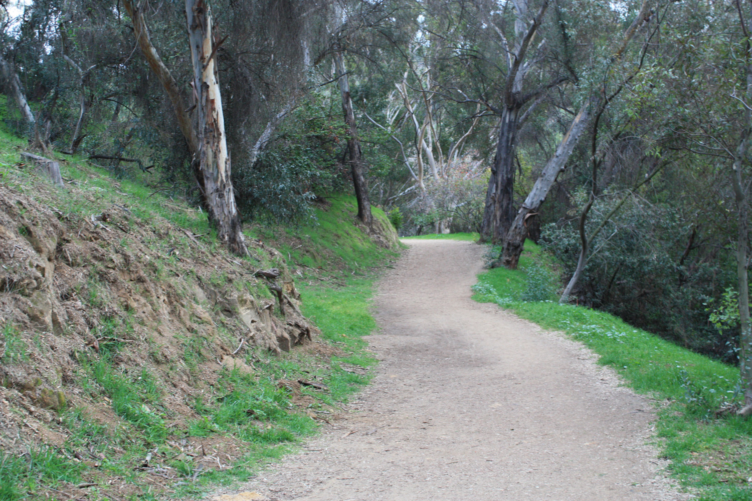
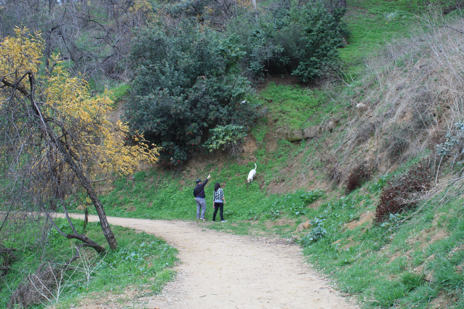
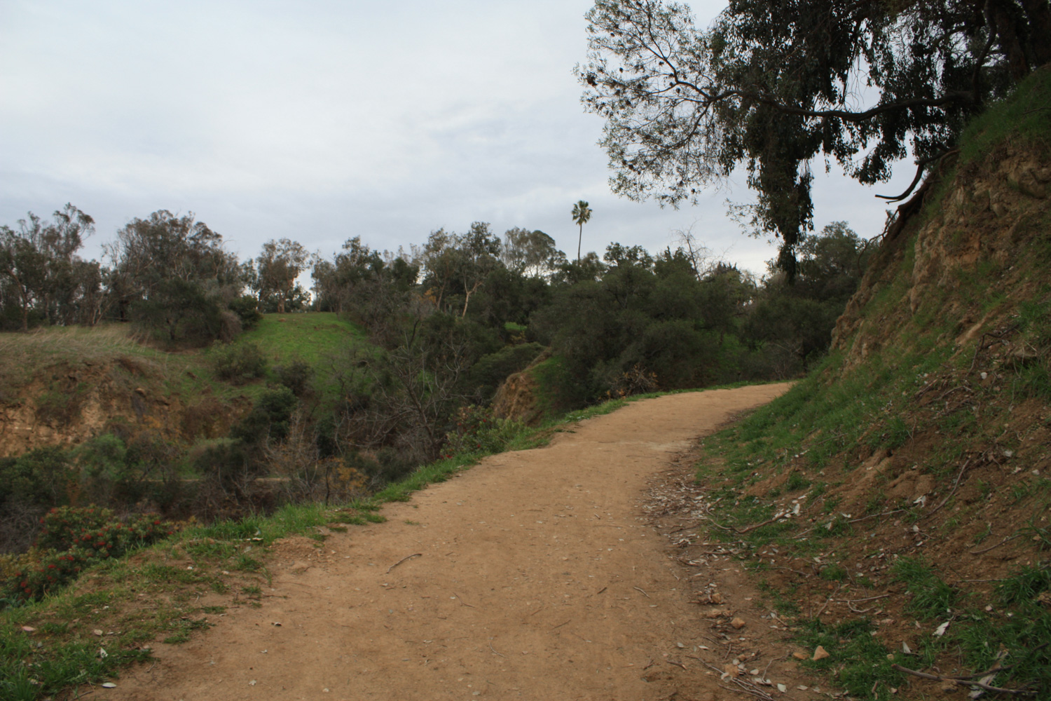
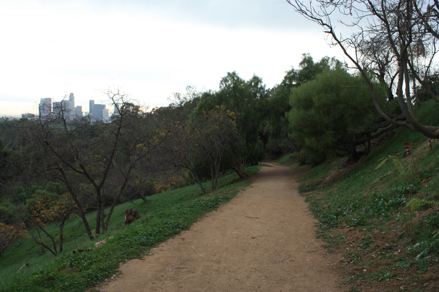
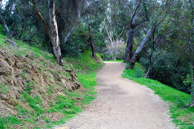
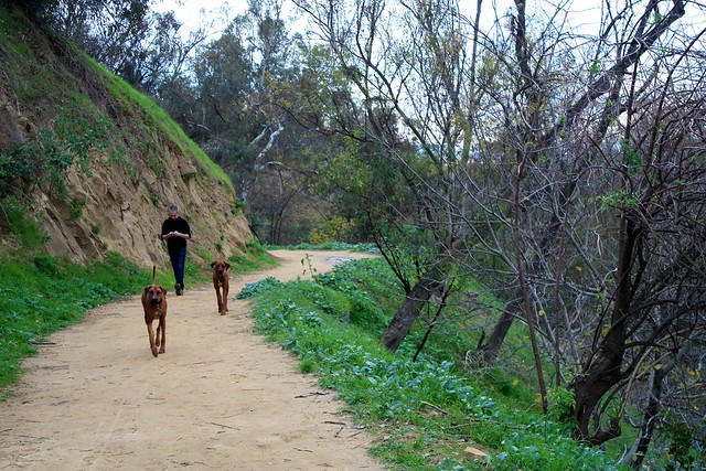
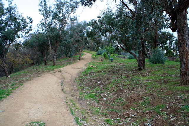
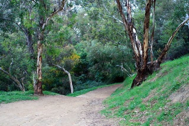
Almost immediately, you’ll be greeted with a wide dirt path winding through a fairly thick forest. Sure, you may still hear some of the traffic from Stadium Way for a while, but you’ll also have a lot of fragrant eucalyptus trees nearby to distract you … and most likely a large number of canine hiking companions.
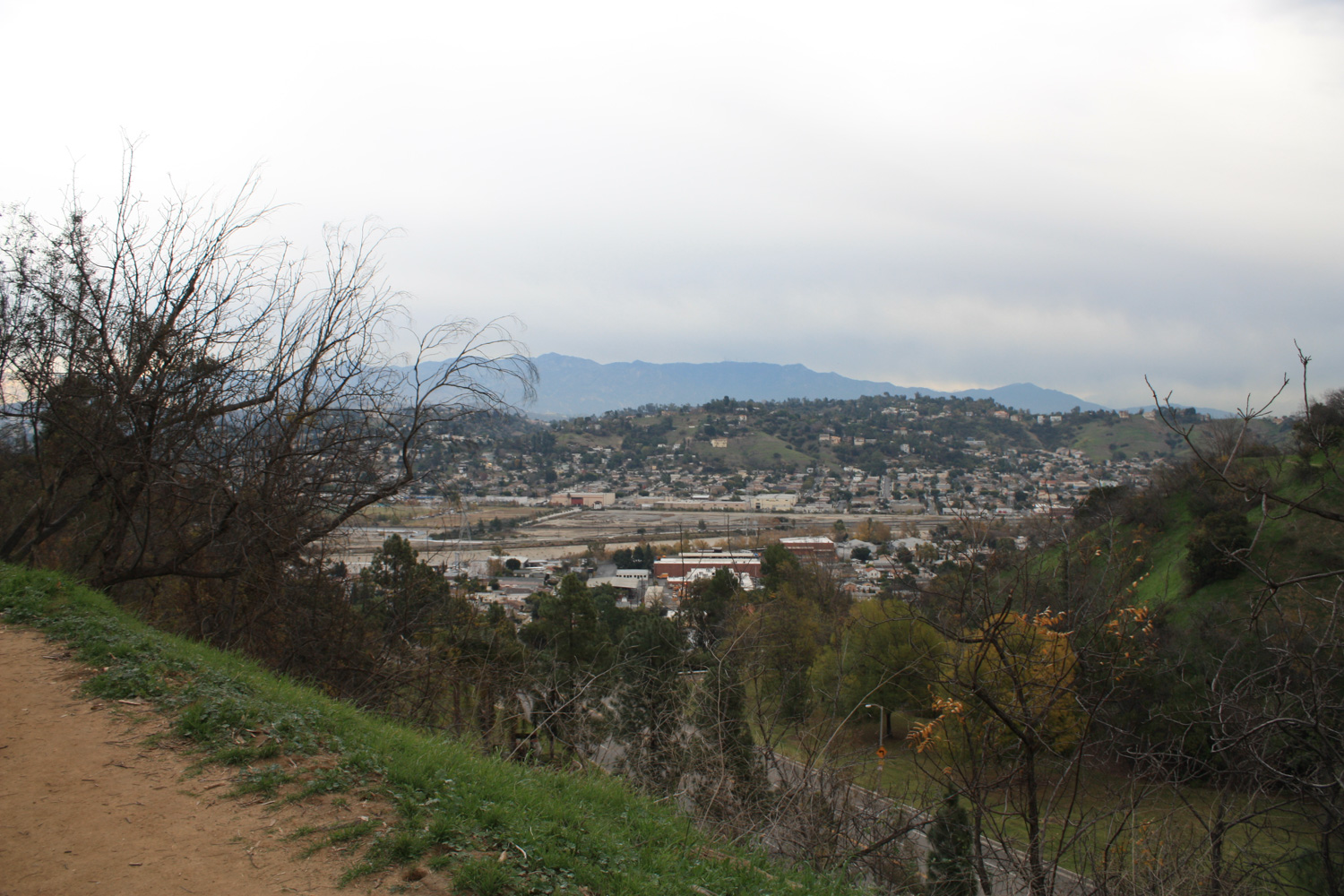
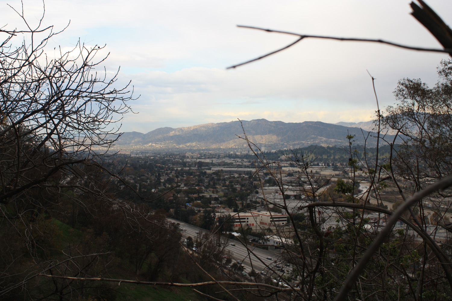
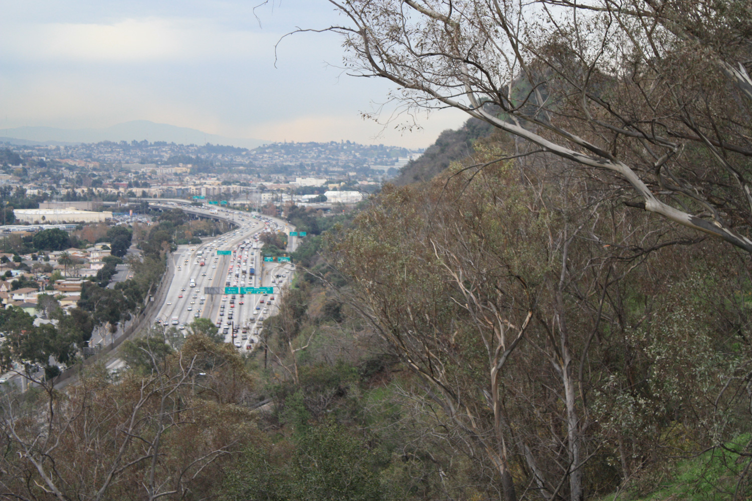
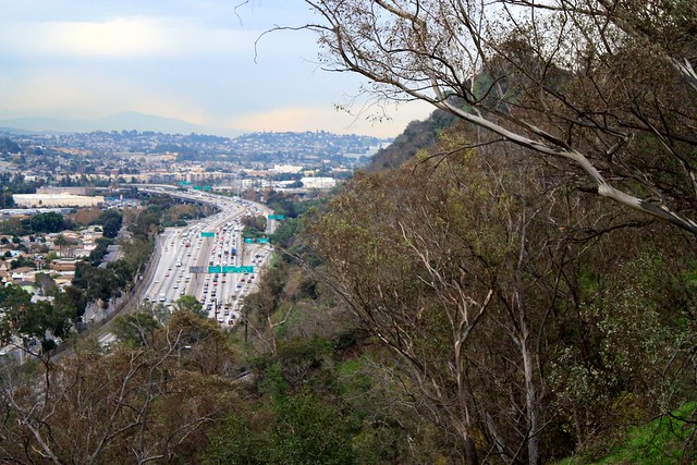
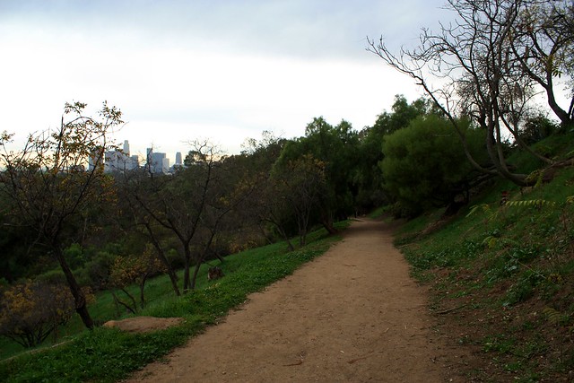
At the 0.4 mile mark, you’ll come into sight of the Golden State Freeway – and yes, I know that sounds like something you’d never, ever want to see when you’re hiking – but if you’re lucky you’ll be able to look past the freeway to the L.A. River and San Gabriel Mountains beyond (assuming you’re hiking on a clear day).

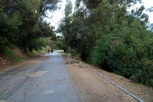
Enjoy the northward views and greenery as the trail meanders along the north side of Elysian Park. At the 0.8 mile mark, the trail makes a sharp switchback and doubles on itself for a bit of elevation gain.
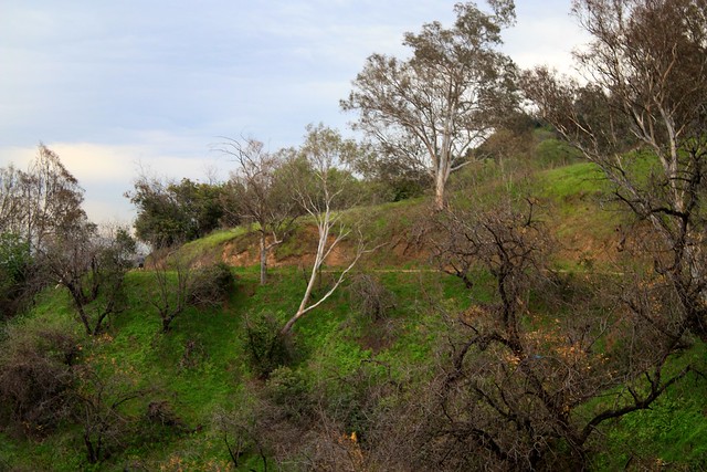

Just past this switchback at the 0.9 mile mark, there is a very short use-trail leading to Vista Gordo Drive. Ignore this spur and stay on the trail, continuing on the steepest part of the route (which still really isn’t all that steep, so don’t worry).
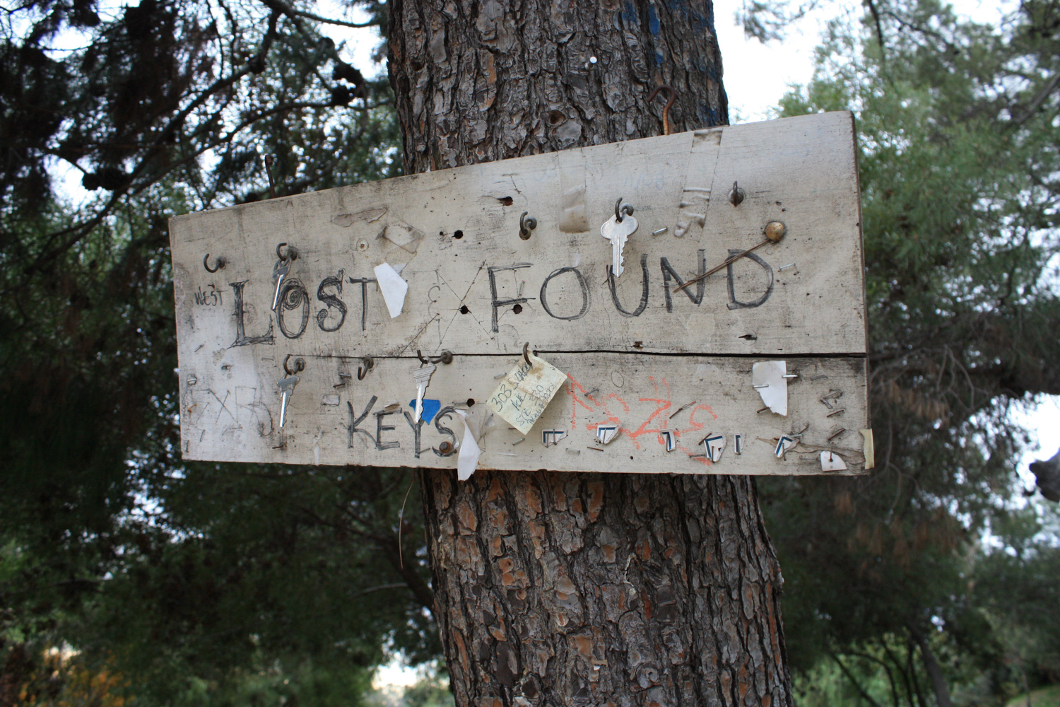
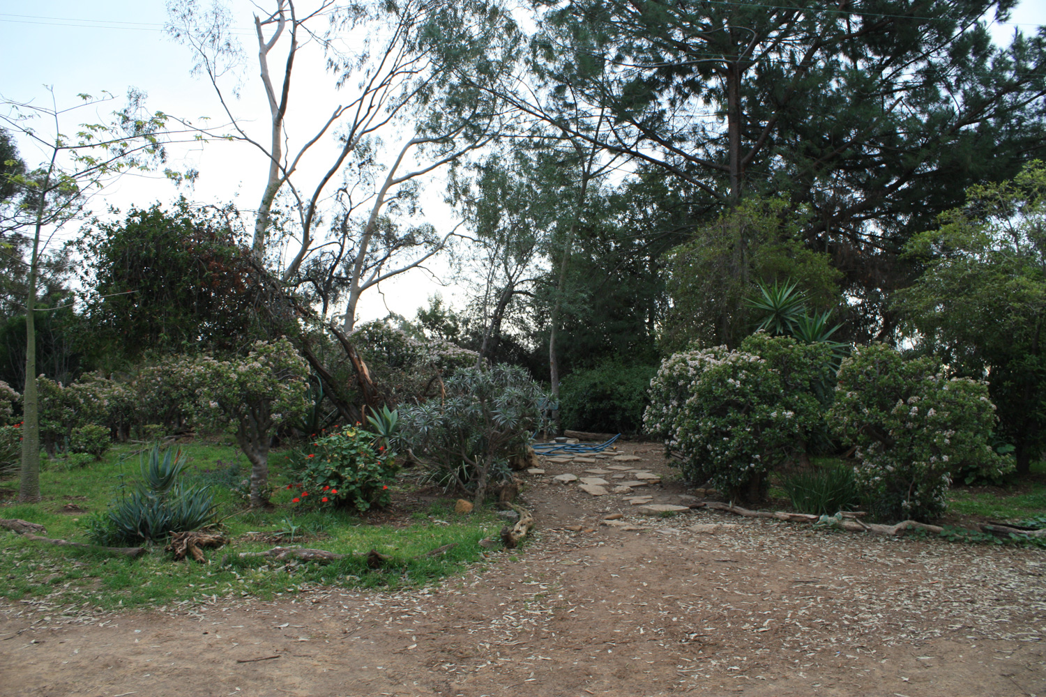
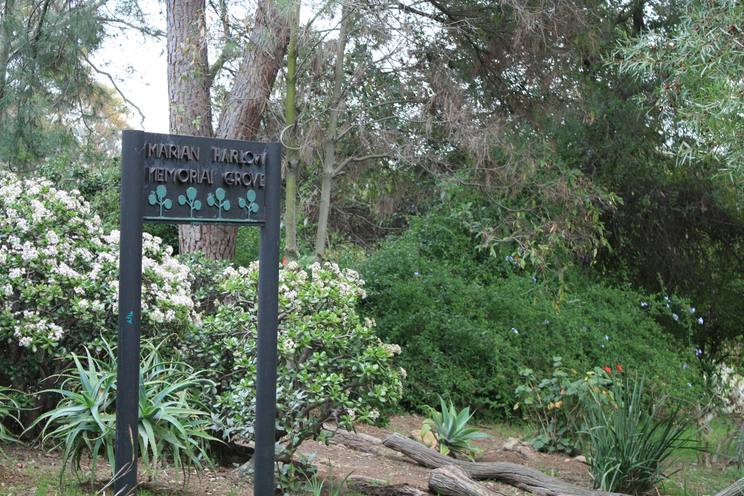
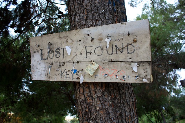
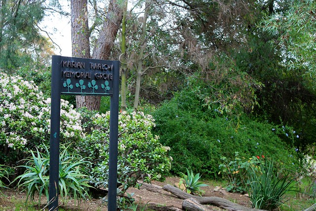
At the mile mark, you’ll walk past a small equestrian area and the highest point of the route, and in another tenth of a mile you’ll come upon a neighborhood lost-keys board and the Marian Harlow Memorial Grove – a small flower garden with a short footpath and bench. It’s a nice place to stop for a break if you need one.
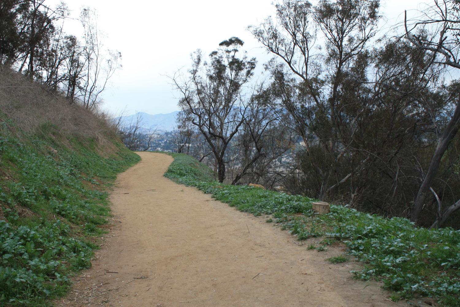
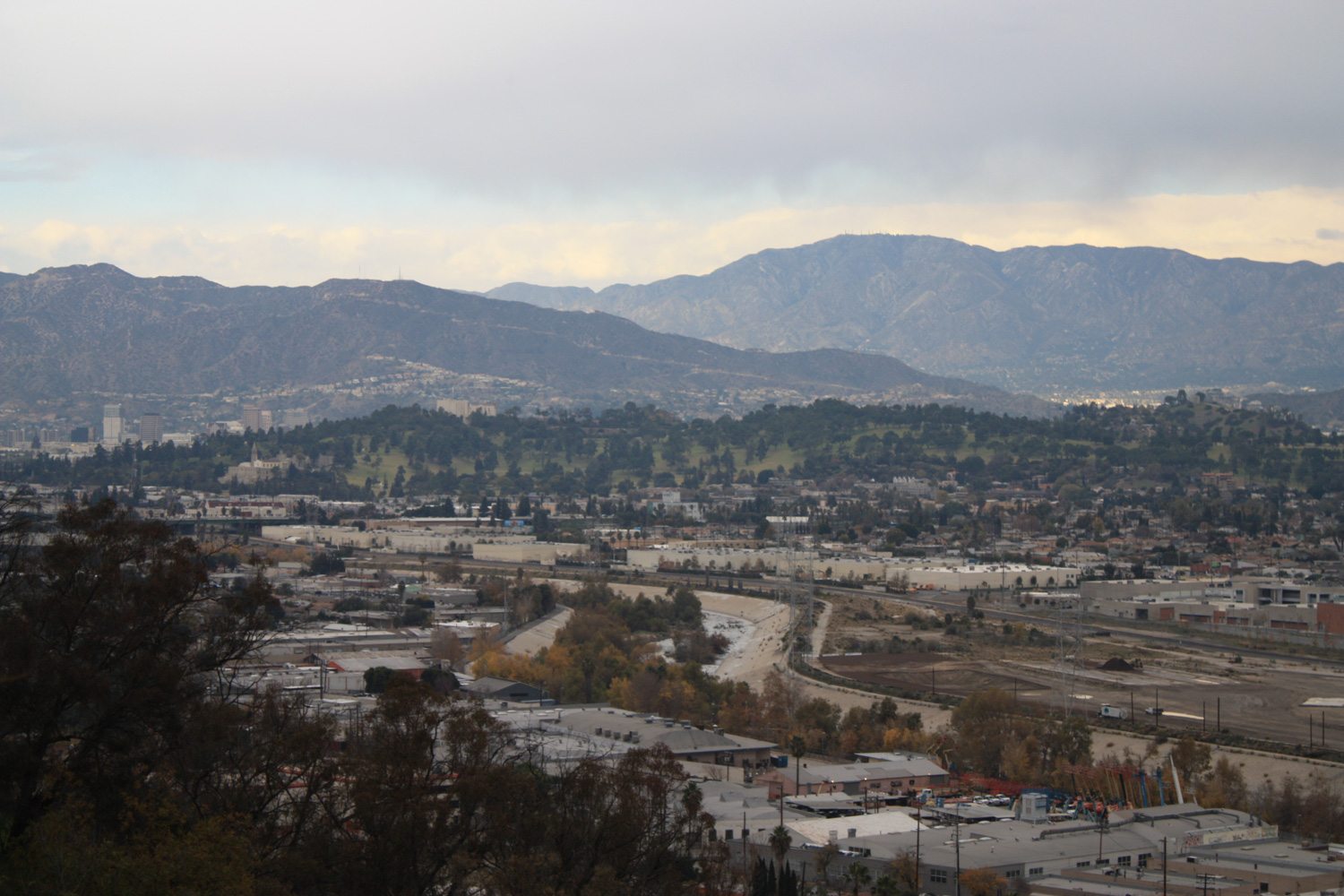
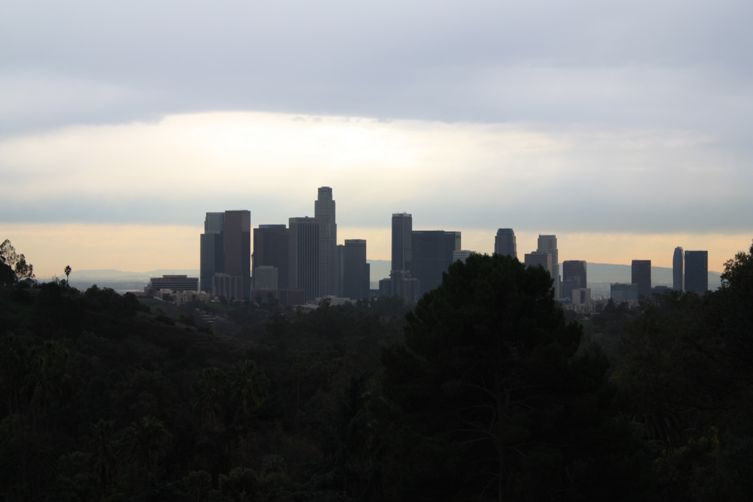
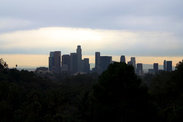
More killer views await you just down the footpath – at about the 1.2 mile mark the trail takes a very slight descent and comes to closely parallel Park Drive. Here, through some occasional breaks in the tree-line, you’ll be able to make out some really epic views of downtown Los Angeles surrounded by the greenery of Elysian Park. It’s not a view most people think of when they think of Los Angeles, and under the right conditions can be really quite breathtaking.
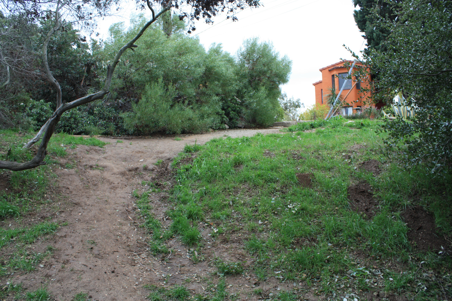
At 1.3 miles, the trail splits at a three-way junction. If you want to return to the trailhead, keep left and the trail will wind back down to Simons Lodge (you can cut across the grass lawn to make a direct route for your car if you parked on Elysian Park Drive). For the purposes of this route, continue straight, following the path along Park Drive.
For the next half mile, ignore all of the side-trails and stay on the main path as you hike with partial shade to an intersection with Academy Road.
At this road, take a hard left turn and continue onto gated Elysian Park Drive. This paved (and deteriorating) road will take you back past the Simons Lodge and to your car.
When you’re done, consider exploring a little more of the park – the nearby Angels’ Point Trail makes for a nice loop – or get some coffee or food in nearby Echo Park.
Tags: chinatown, echo park, elysian park, Hiking, Los Angeles, silver lake, transit accessible