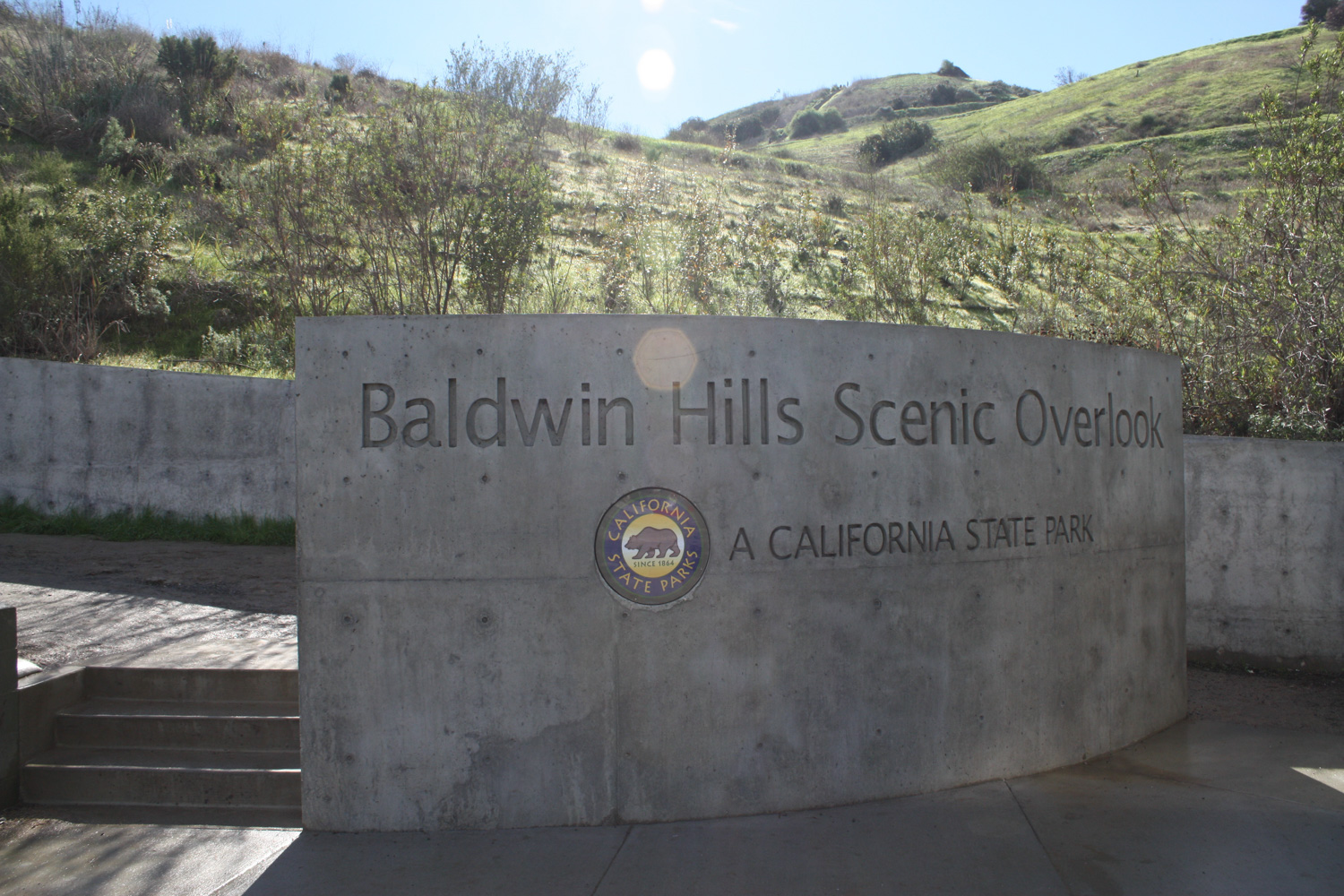
A short but strenuous hike up a steep set of stairs just south of Ballona Creek in Culver City for some fantastic views of the surrounding landscape. This small park is popular with fitness-types sweating and jogging up the incline multiple times, as well as shutterbugs who set up shop on the overlook – especially on clear days. A great place to do a bit of training for larger hikes or just as a good excuse to get some exercise if you’re in the neighborhood.
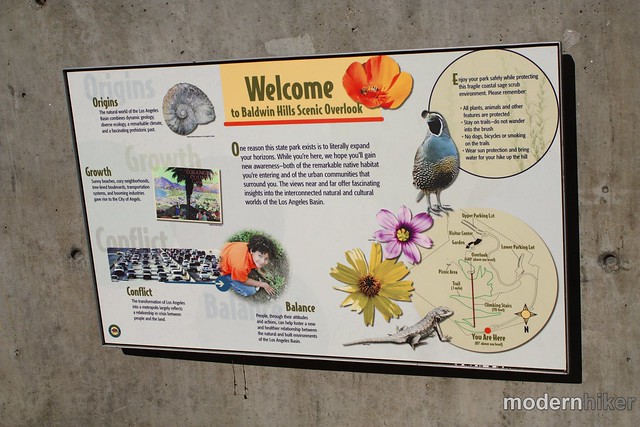
I’ll admit, the Baldwin Hills Scenic Overlook isn’t much of a hike in the ways that most people would think of hiking – but it is a great little pocket of green space that’s accessible by car, bike, or via the Expo Line.
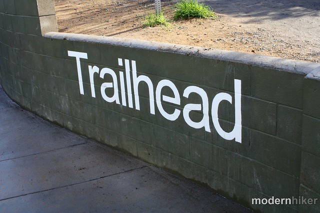
Although it’s easy to pass this park on Jefferson Blvd. as you drive by, it’s hard to miss the park’s entrance – as the park’s only a few years old everything is in really great shape. On the weekends and nice weekdays, prepare to see a lot of people down at street level, steeling themselves for the ascent or huffing and puffing after running down from the top of the overlook.
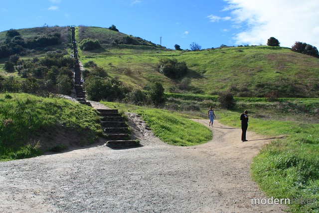
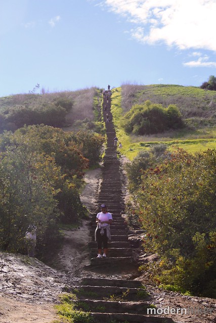
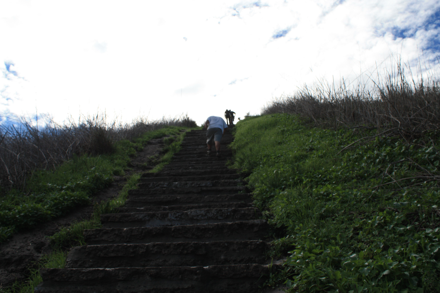
Man oh man is that a staircase.
On my Facebook page, a reader described these stairs as “miniature walls.” They were right. These steps are significantly higher and more spaced-out than your standard staircase, and in my opinion they’re a bit more relentless than the staircase at Runyon Canyon in Hollywood.
Get ready, stretch out, and start your climb … and don’t feel bad about taking a break once in a while, either – you’re ascending 260 feet in about .15 miles.
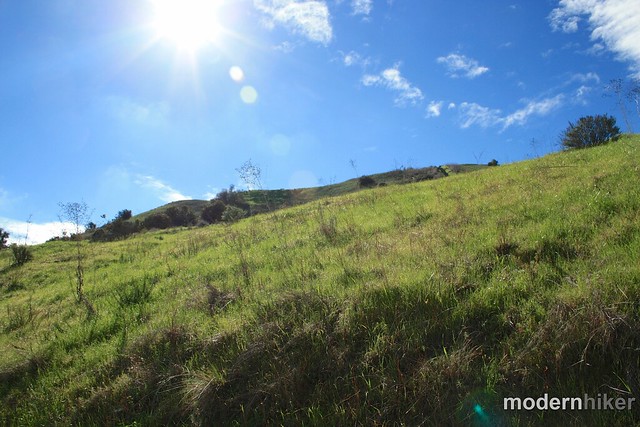
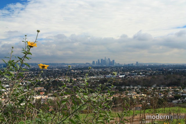
If it’s a clear day, you’re in for a treat when you get to the top – phenomenal views of the L.A. basin, the San Gabriels, Santa Monicas, and Palos Verdes roll out in all directions in front of you. The park’s mission is to help locals get a better idea of their complete surroundings, and this viewpoint really does help accomplish that.
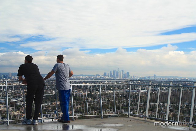


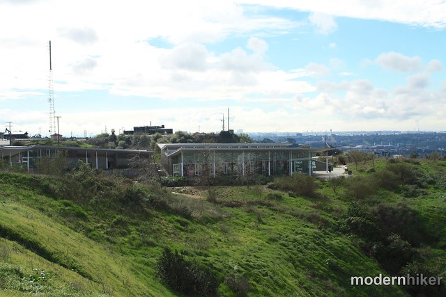
Once you’ve soaked in the views, walk around the overlook to the south side, where you’ll see the very fancy looking visitor center.
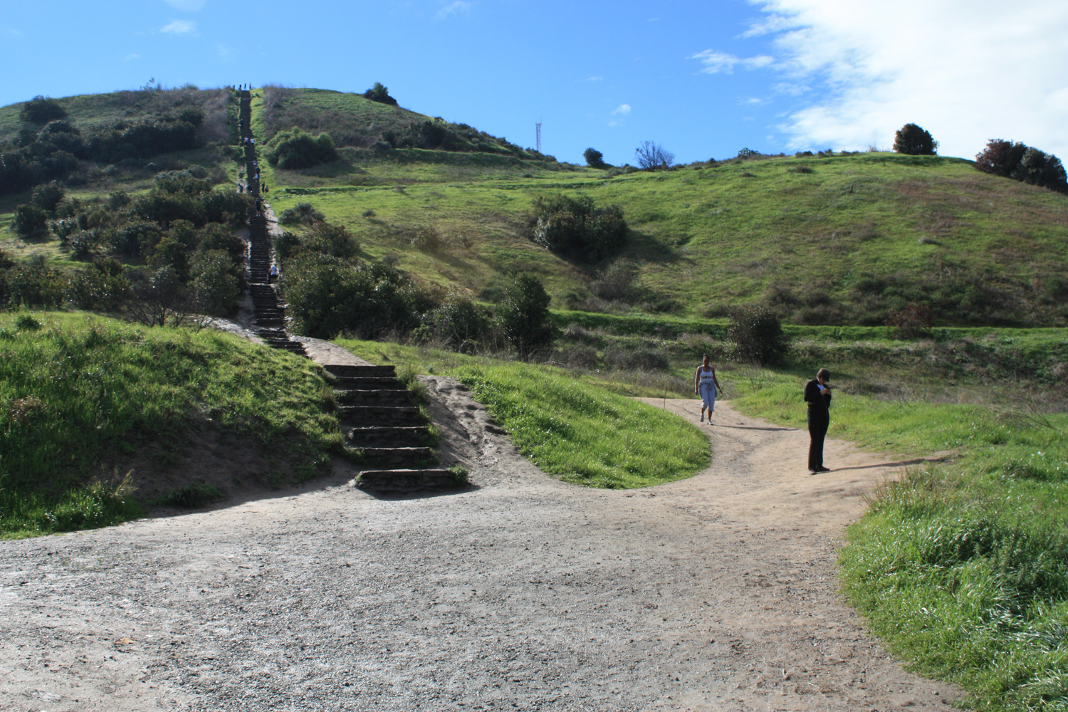
On your way to the visitor center, look for a trail that departs heading east, wrapping around the park’s high-point. This will put you onto the switchback trail to descend back to the trailhead, and the mile distance will seem significantly easier than the stairs – and it gives you more chances for great views of the city around you.

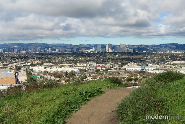

Continue switchbacking down for a mile until you return to the trailhead.
If you’re here for fitness’ sake, consider making a second run up the stairs – or if it’s a weekend or holiday between 8AM and 6PM, hop on the Metro Shuttle and take a hike in nearby Kenneth Hahn State Recreation Area.
Tags: baldwin hills, baldwin hills scenic overlook, ballona creek, culver city, fitness, Hiking, Los Angeles, staircase, transit accessible