When I was initially floating the idea of spending a few days aimlessly wandering around Big Sur I asked my friends for some of their suggestions. People had overwhelmingly great things to say about Point Lobos State Reserve so I made it the first stop on my southward-bound journey … and the very first thing I saw when I parked my car were two SCUBA divers putting on their wet suits. So I had an idea this was going to be a special state park.
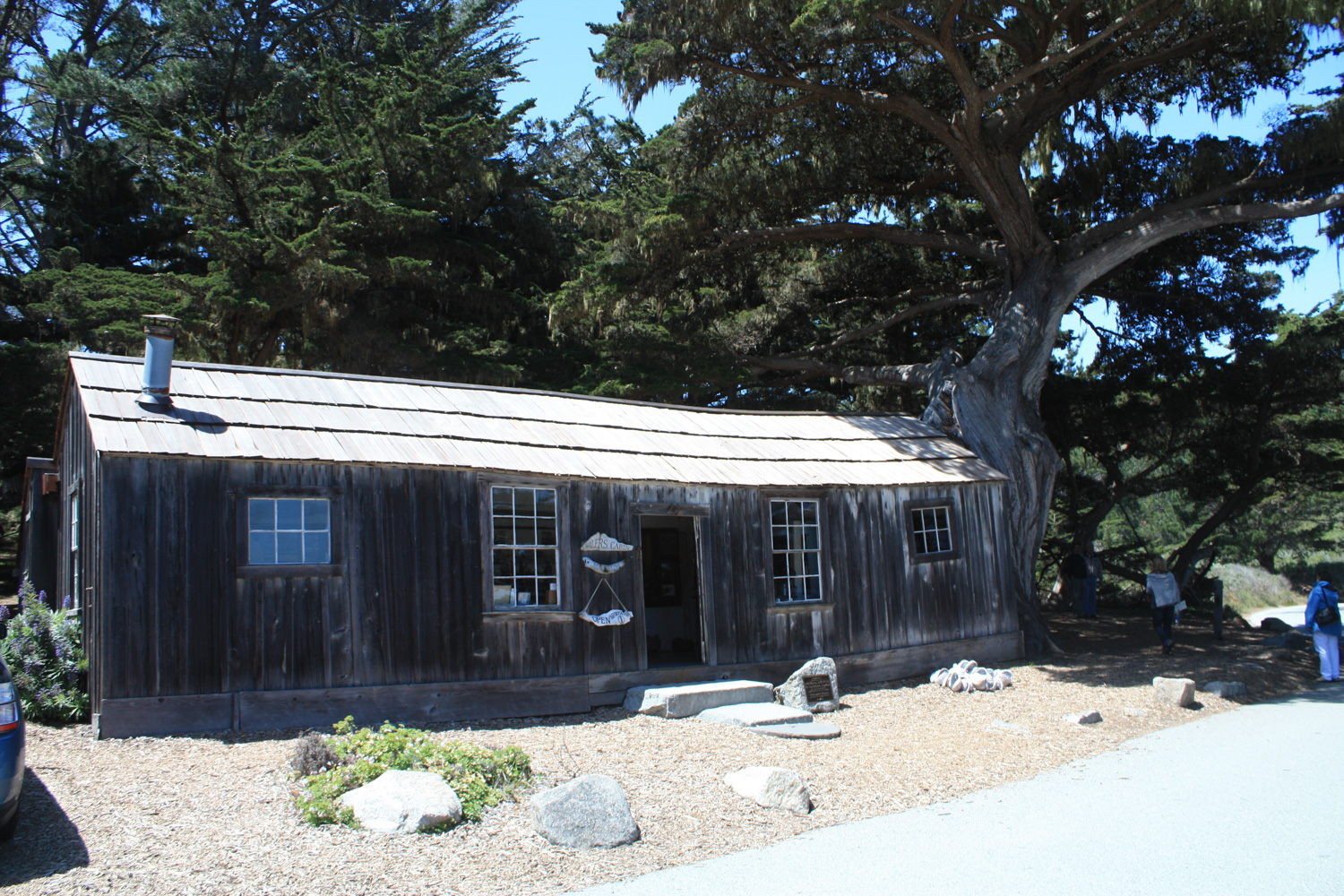
The rangers at the entrance gate suggested I start at an area called Whaler’s Cove to make a large loop through the park. – The Cove is a relatively calm back bay area of the peninsula that – as the name would suggest – was a harbor for whalers from 1862 to 1900. Today you can still see evidence of the commercial activities in the harbor and in a wooden cabin built in the 1850s that now serves as a small museum.
Note that this park has experienced a large uptick in visitation over the past few years, and due to crowding and traffic issues is likely to implement a timed entry / reservation system sometime in the future. As of late 2018, it’s still in the planning stages, but we will update the post if there are any changes.
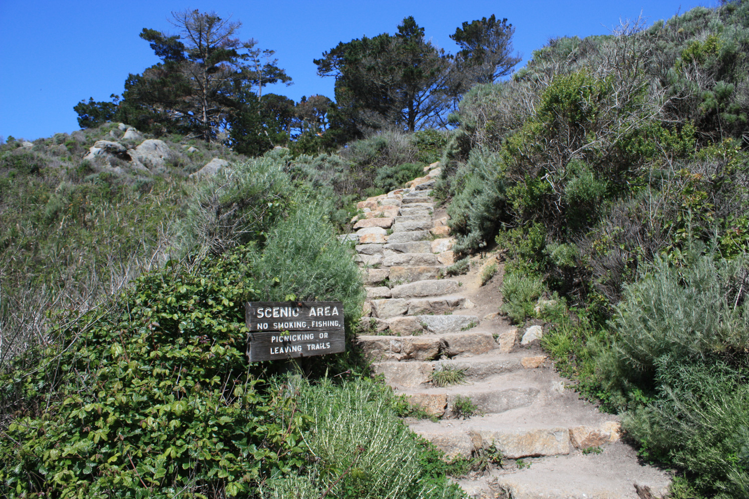
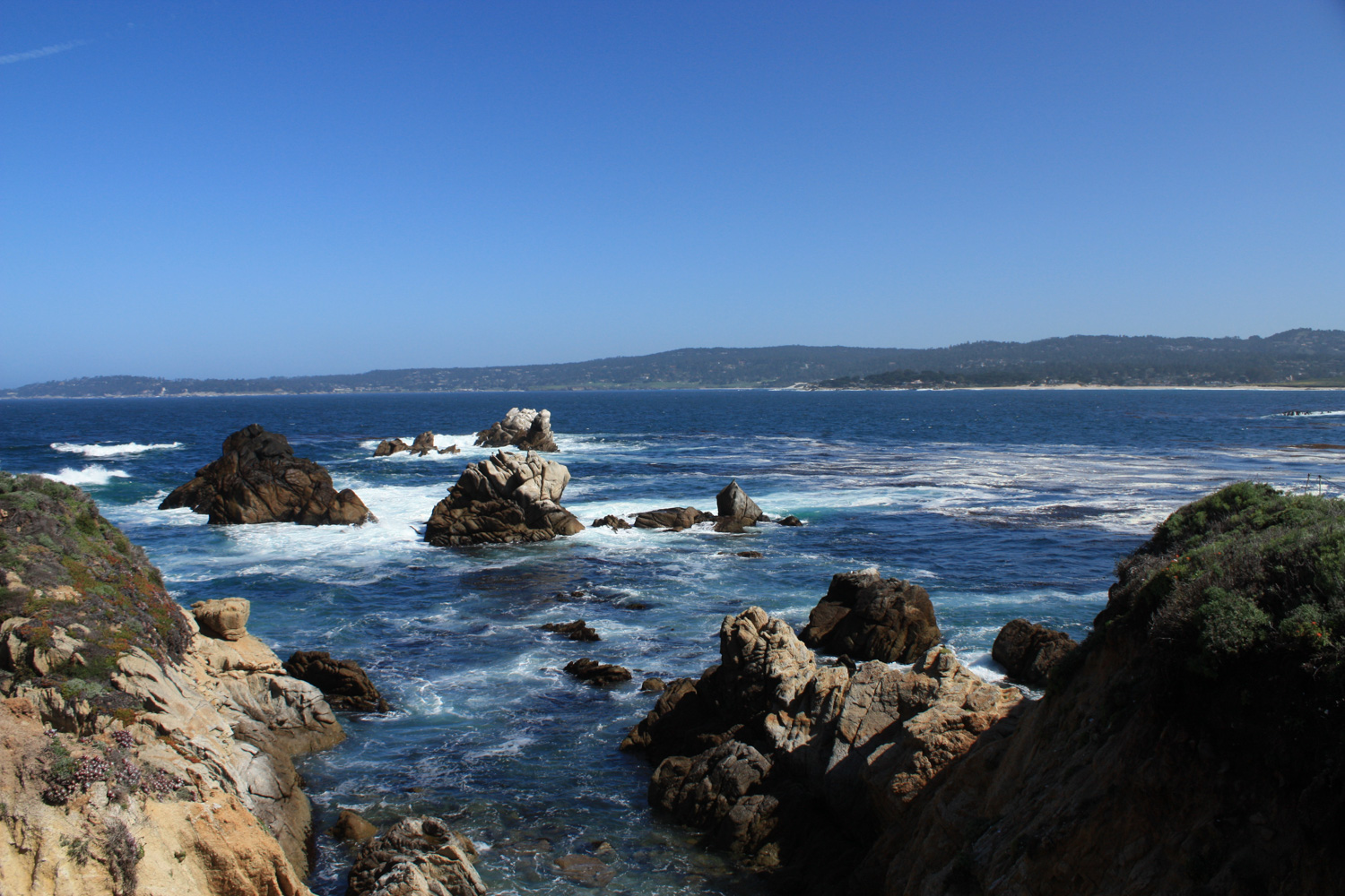
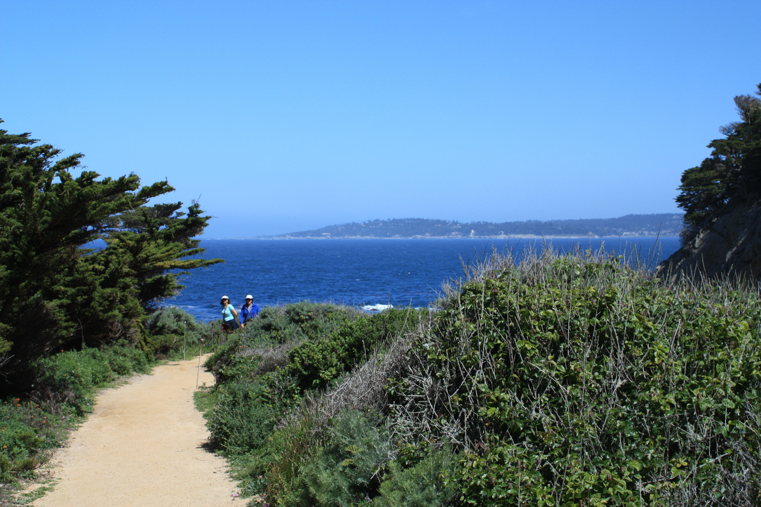
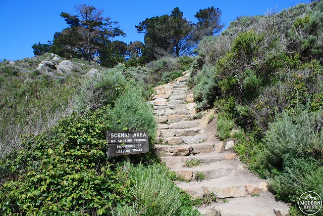
Park at the small Whaler’s Cove lot and start your hike up the small staircase on the lot’s north end – and you’ll be almost immediately rewarded with incredible views of Carmel Bay.
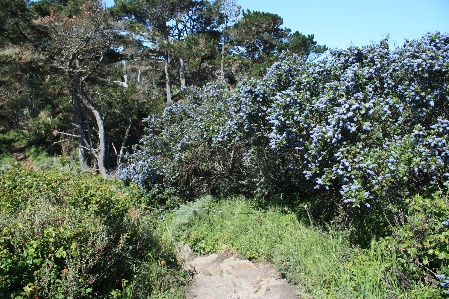
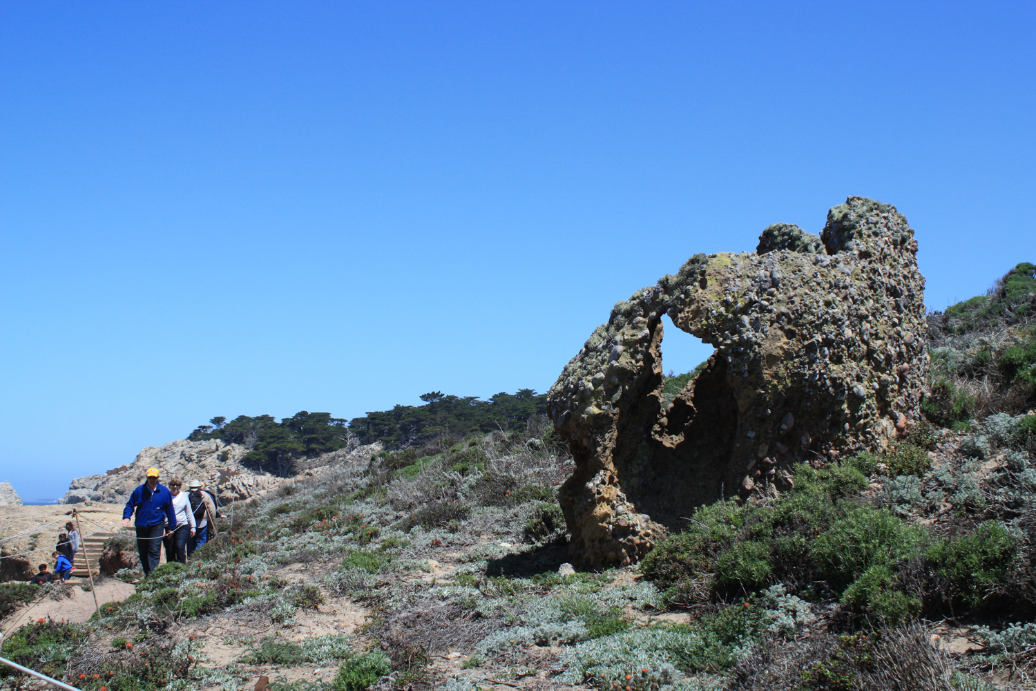
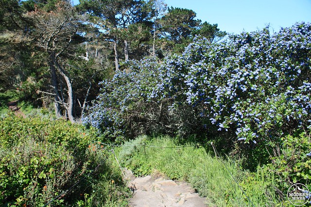
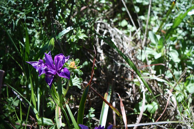
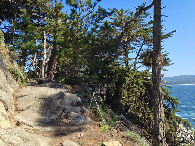
You’ll head west on the trail away from Whaler’s Cove through some high coastal scrub toward Bluefish Cove. If you hike in the spring you’ll notice a lot of wildflowers in bloom – just also keep your eye out for poison oak because there’s a lot of it here. Thankfully, the trails are very well defined and usually bordered by a rope that prevents you from getting too touchy-feely with the local flora.
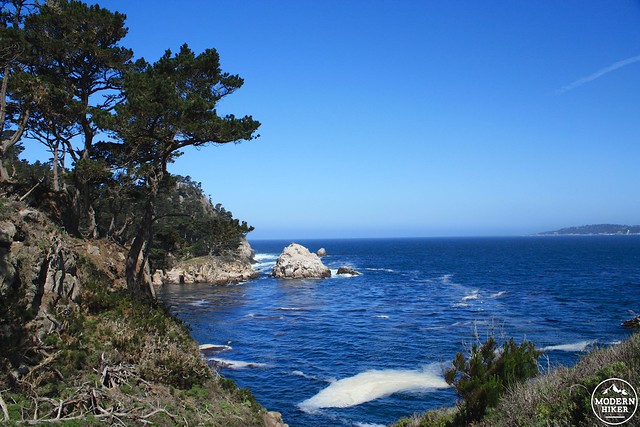
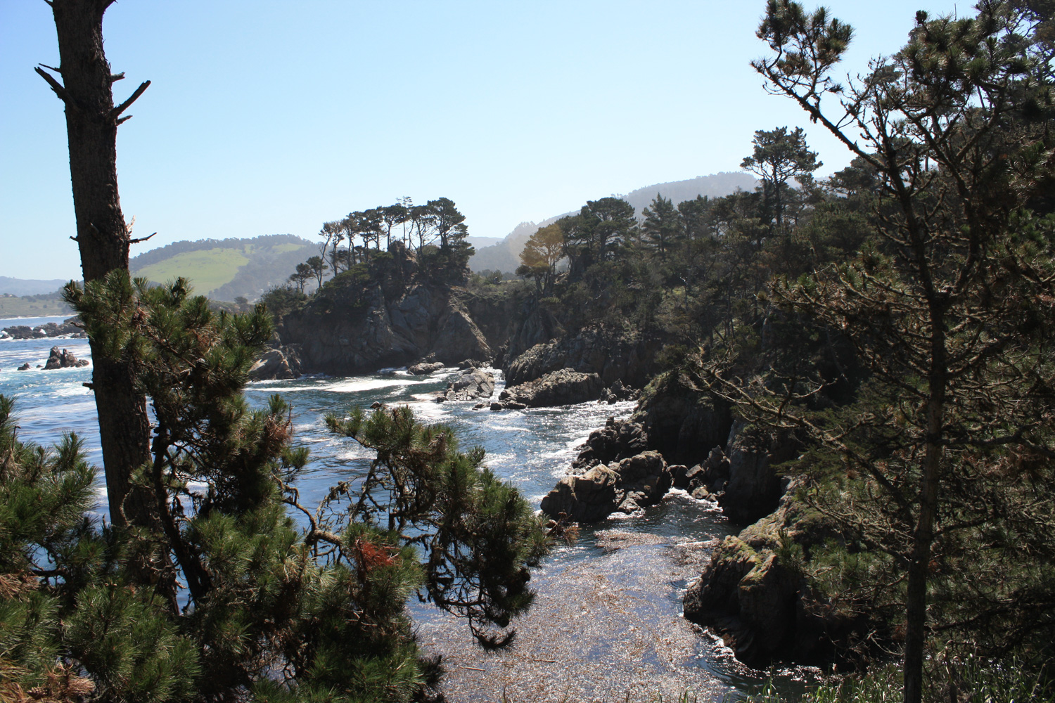
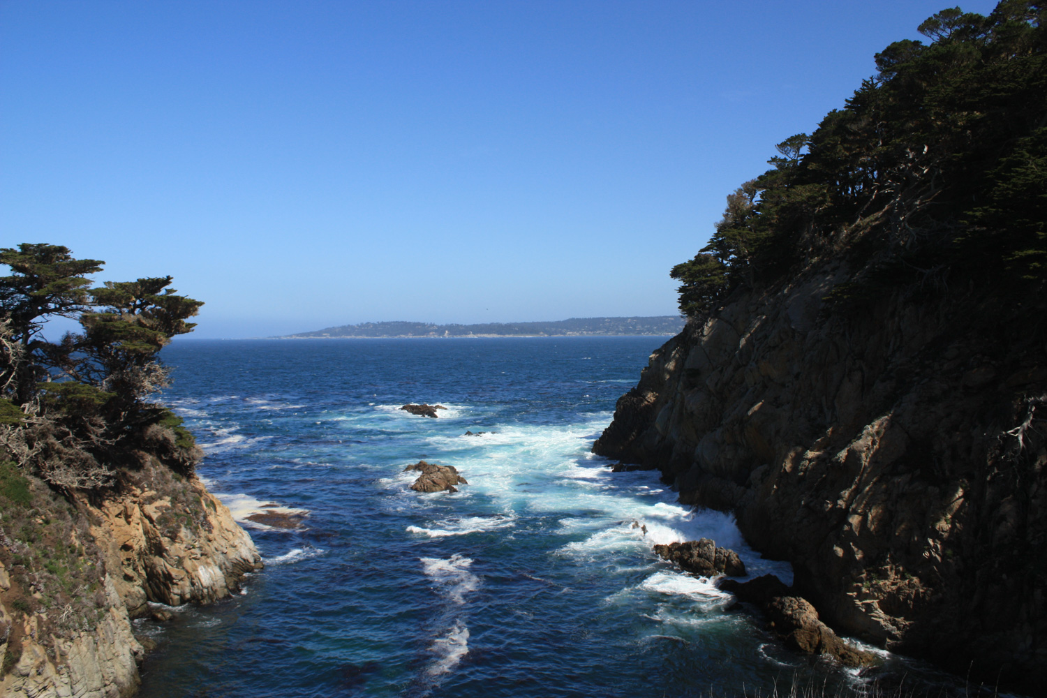
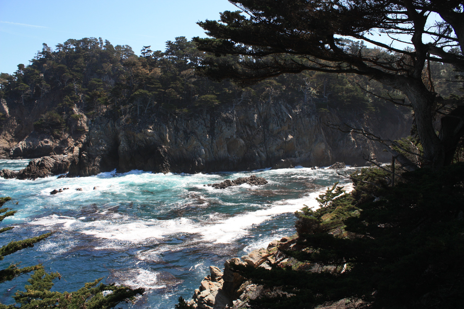
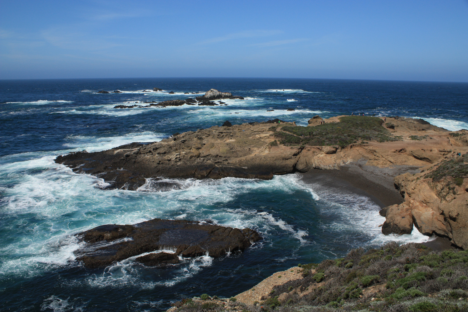
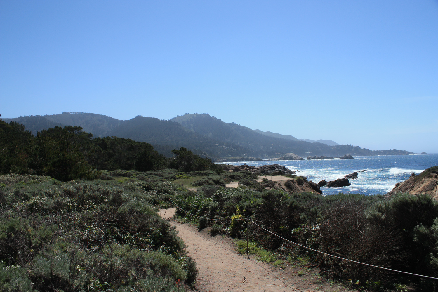
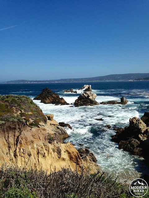
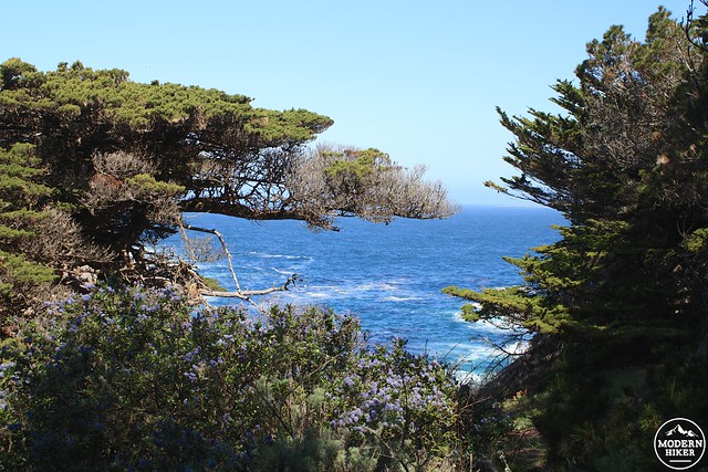
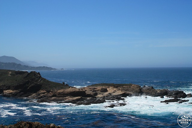
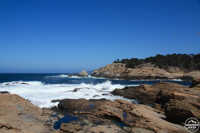
Ignore the spur for the Cabin Trail and continue west on the North Shore Trail as it winds through some of the most truly stunning scenery you’ll ever see in California.
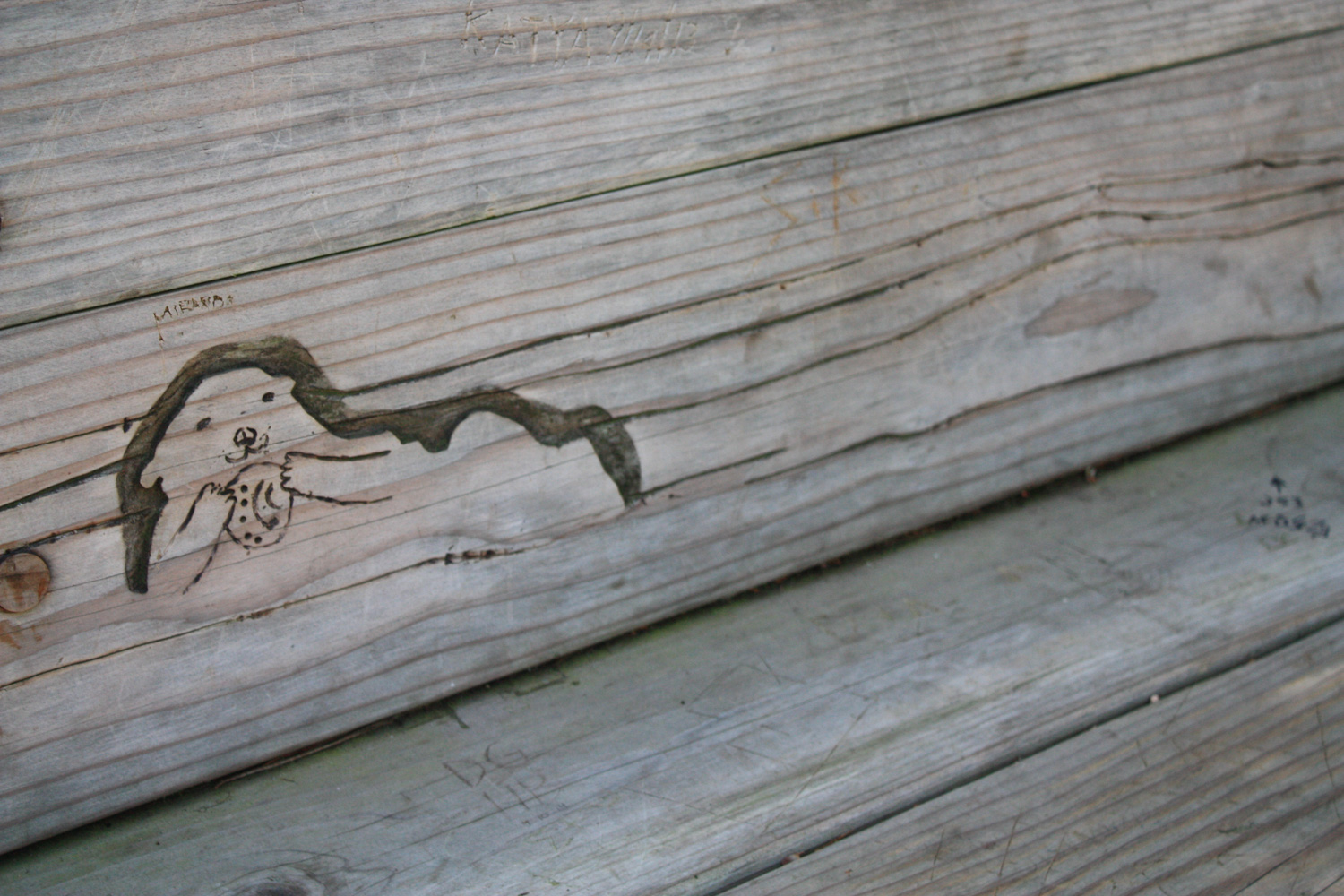
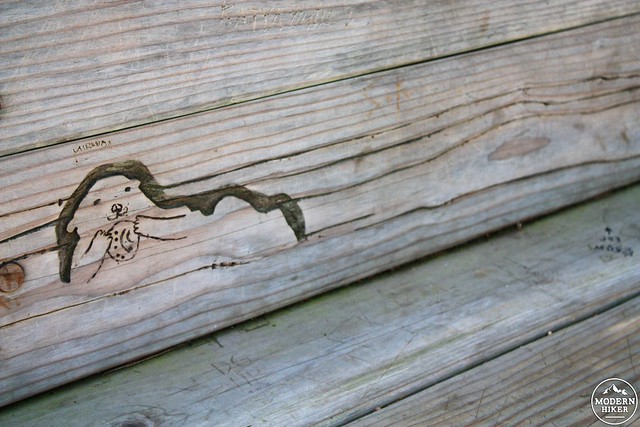
There are a few wooden park benches installed along this route. Even if you don’t stop to sit in them, be sure you at least slow down to note some of the whimsical local animal carvings on them!
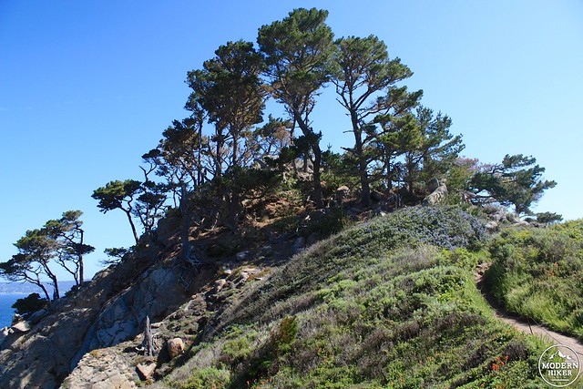
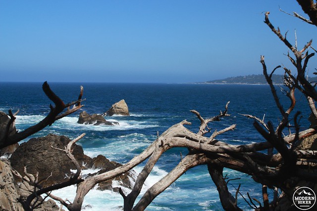
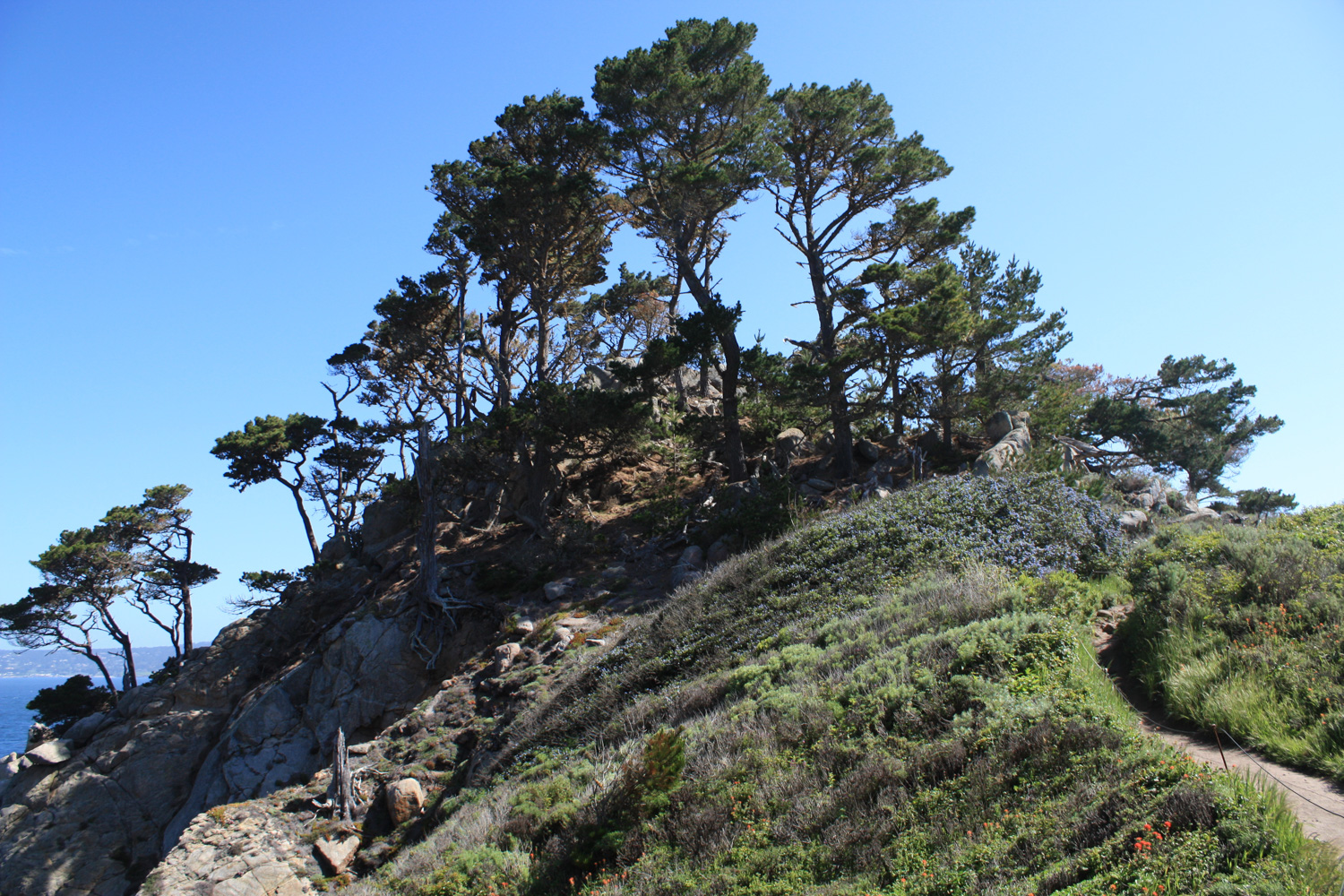
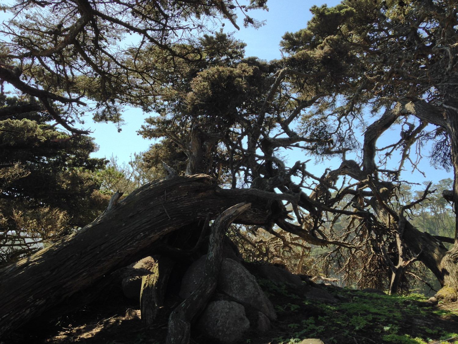
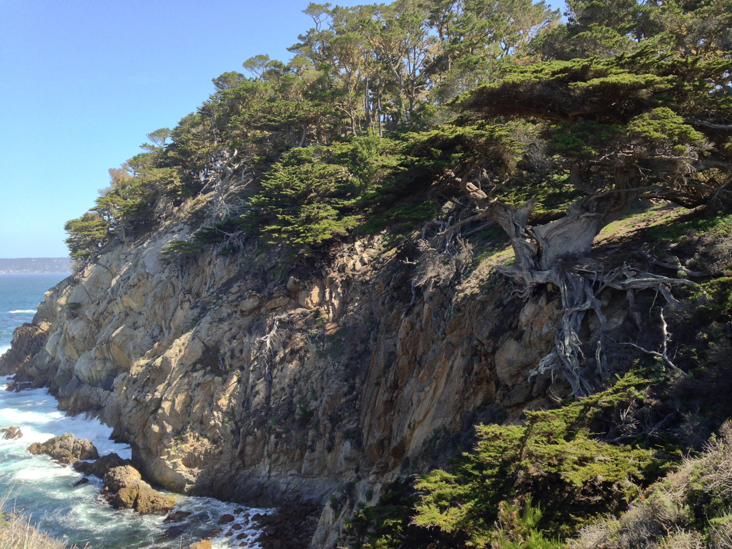
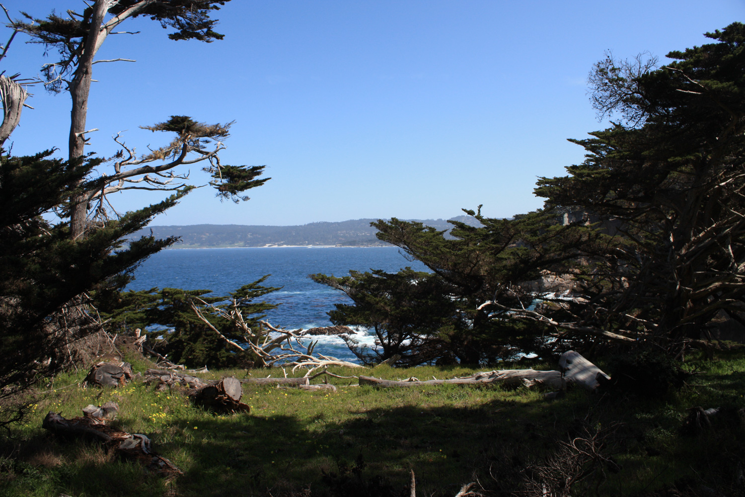
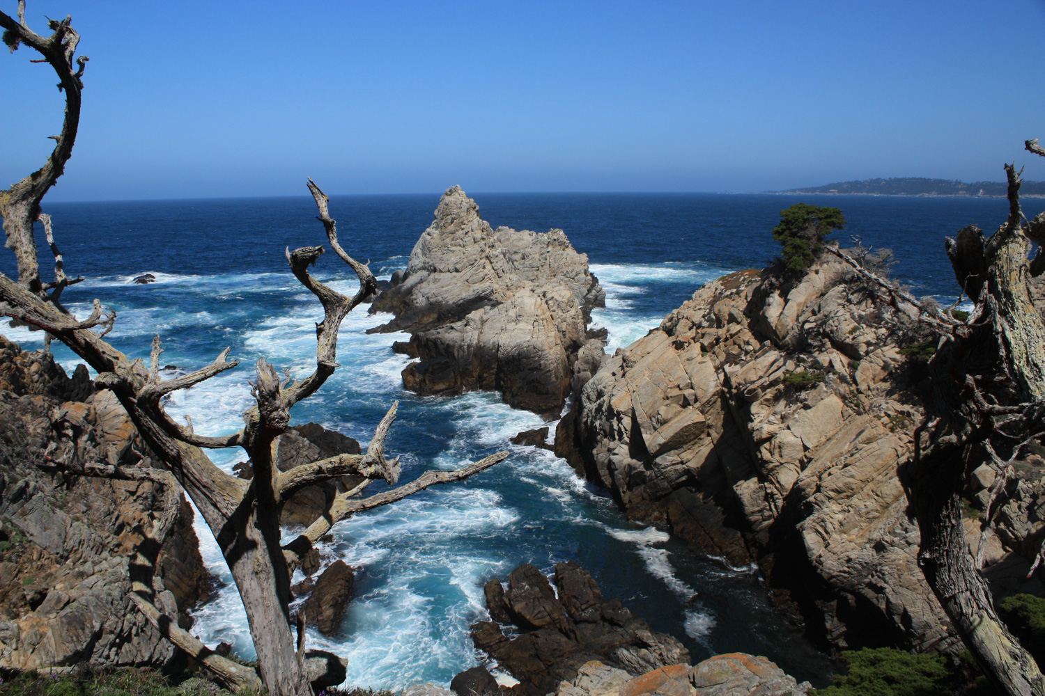
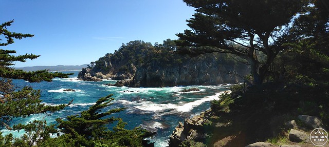
As the North Shore Trail winds its way eastward, pass the junction to the Whaler’s Knoll Trail and you’ll enter the East Grove of Monterey cyprus trees. These twisted and gnarled trees are incredibly rare in the wild, basically growing only on the north shore of Carmel Bay and two small sections on the north of Point Lobos. The trees grow opposite the Pacific Ocean’s relentless wind and mist, lending them a rugged, weary appearance – almost like giant bonsai.

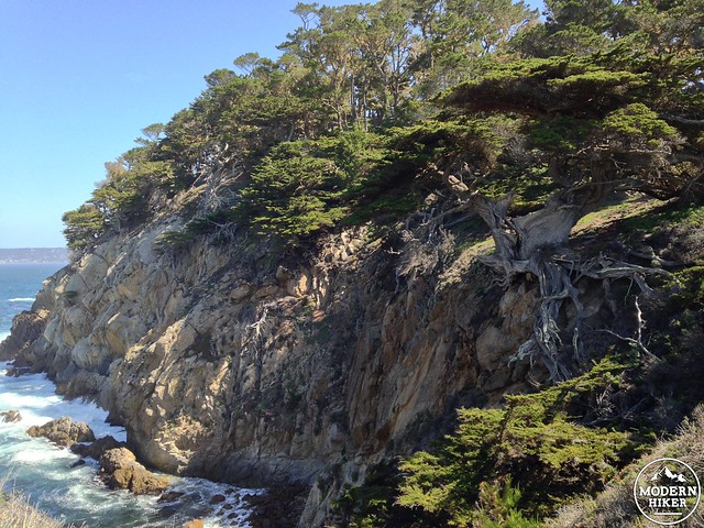
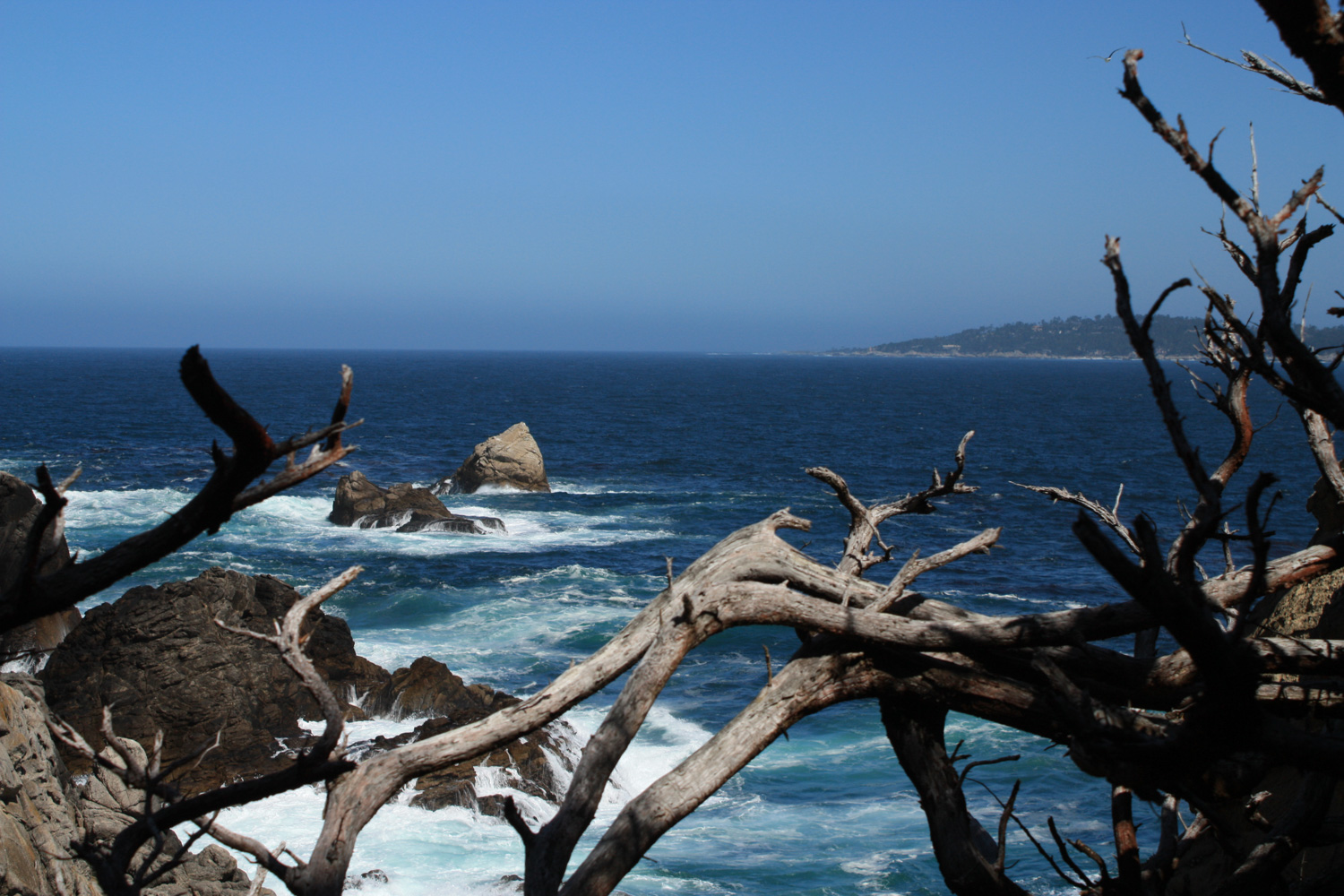
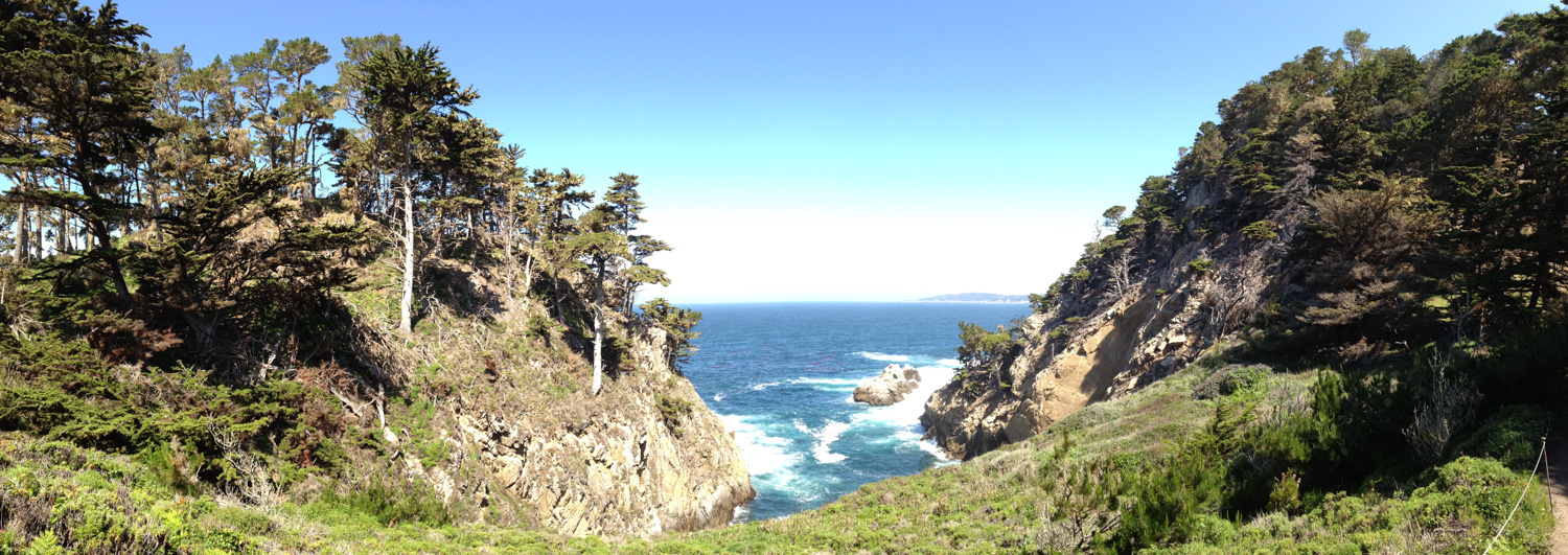
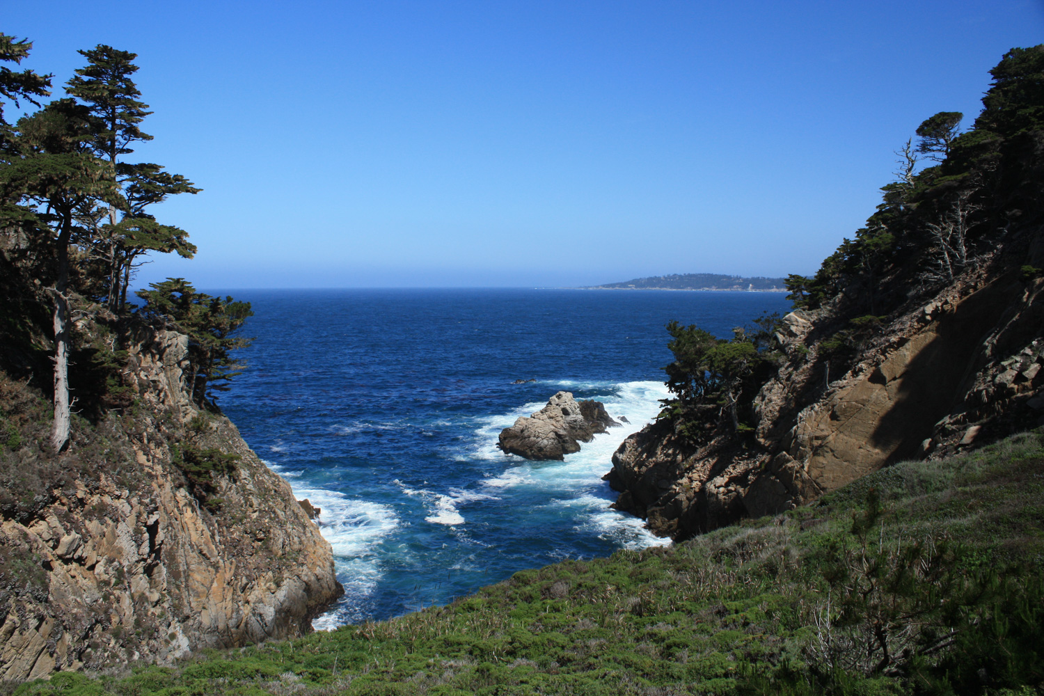
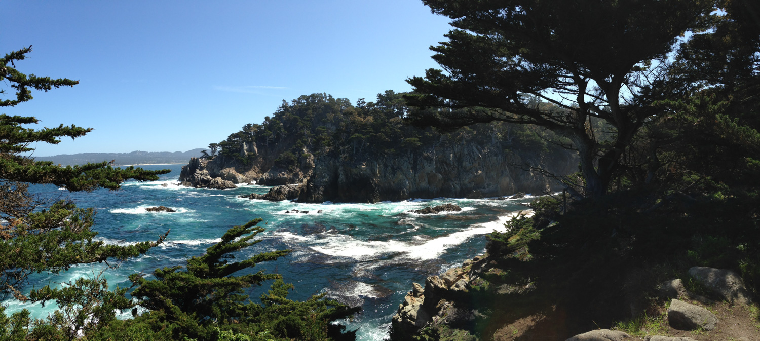
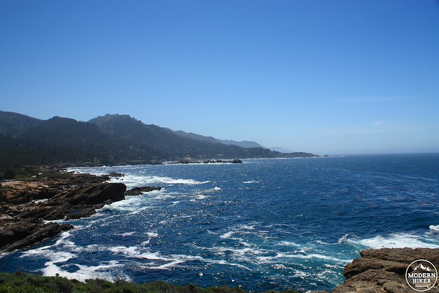
The North Shore Trail ends near a restroom and parking area. From here, take the short spur to the north on the Cyprus Grove Trail to stroll through a larger grove of Monterey cyprus. There are some pretty intense views along this section of trail, so I’ll just leave this here:
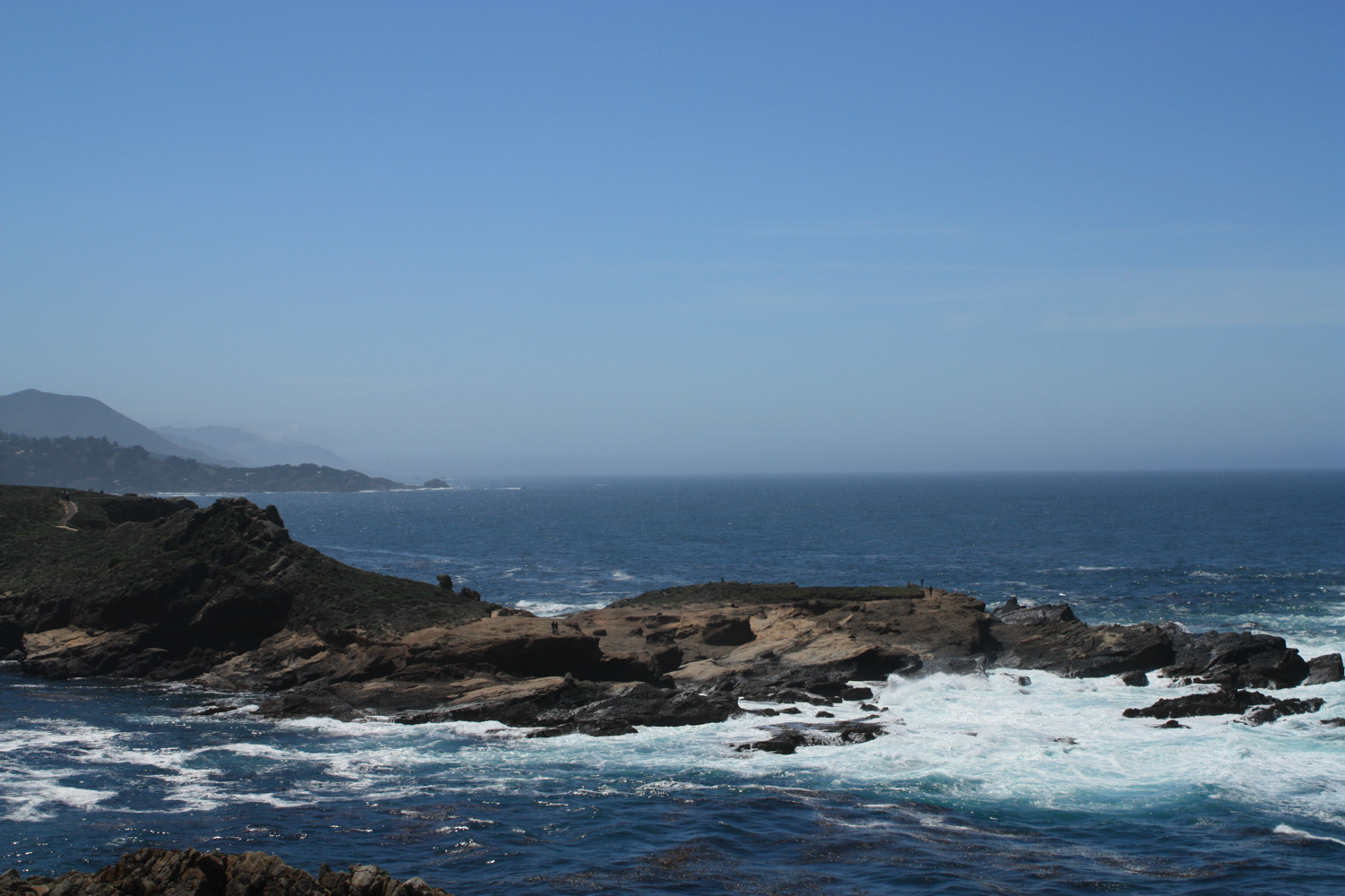
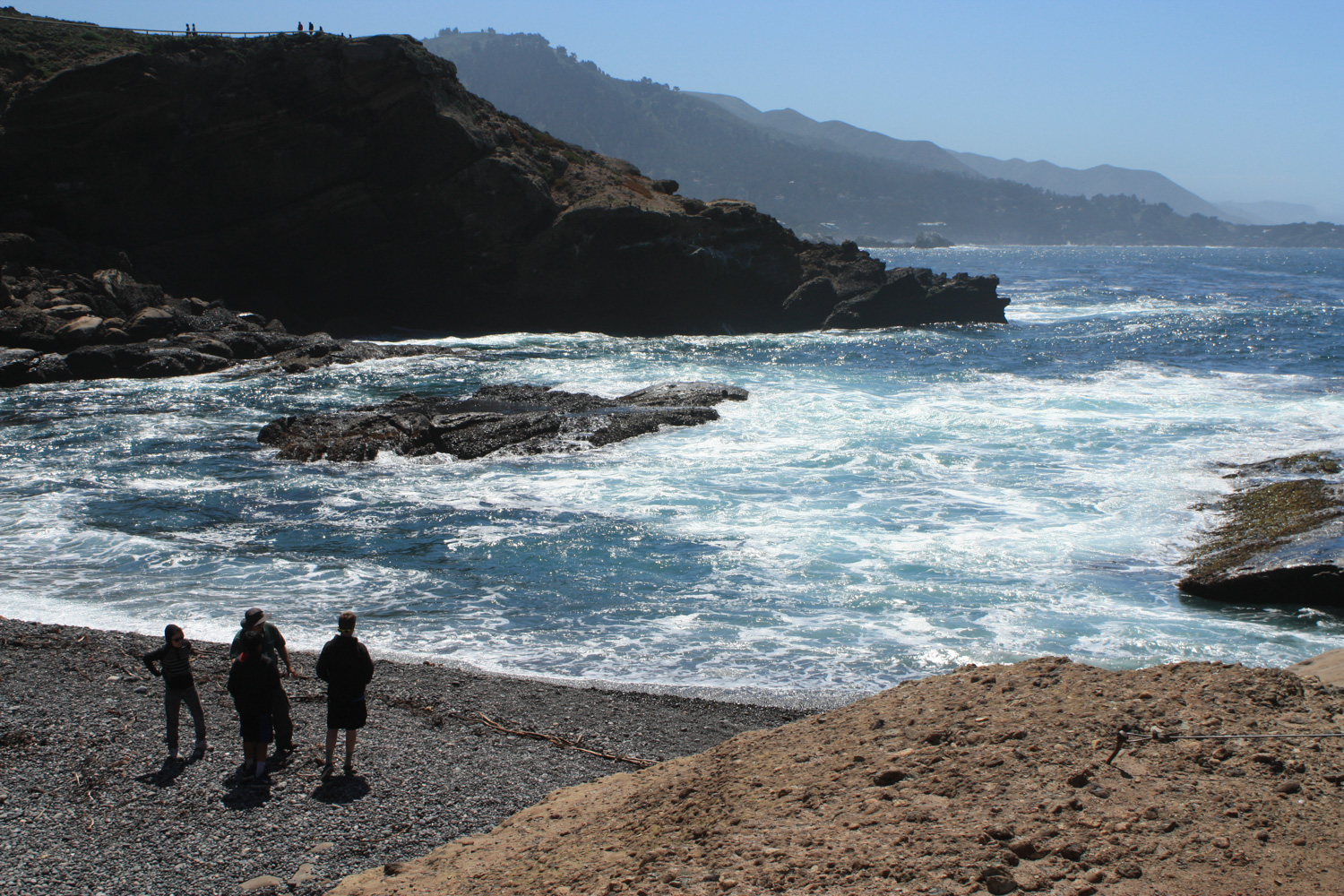
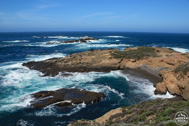
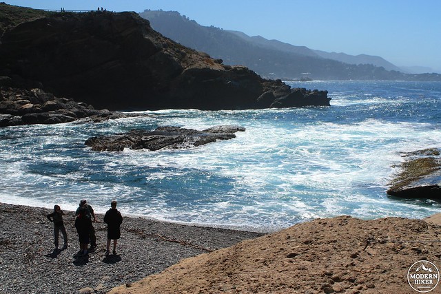
This park also has an excellent crew of volunteer docents who lead group hikes from this part of the park. While here, I saw two different groups identifying wildflowers while a third hiked down to the end of the Sea Lion Point Trail to spot sea birds and lions in the surf.
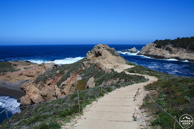
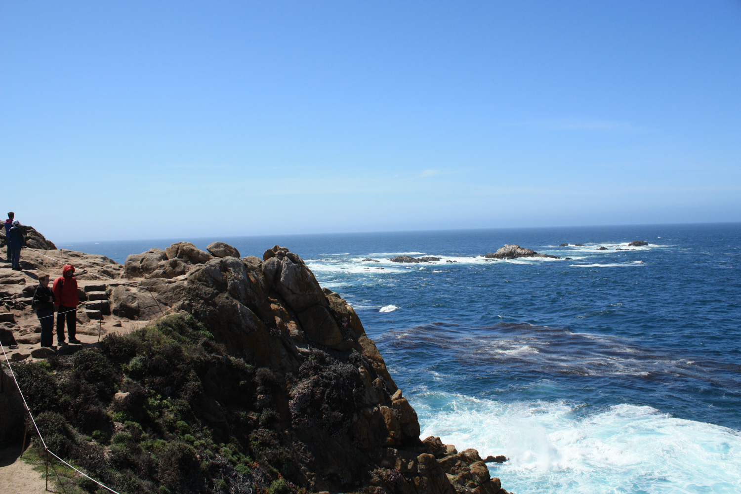
When you’ve soaked in the salt air at land’s end, return back east, keeping right at the junction toward the parking lot to head south along the coast via the Sand Hill and South Shore Trails.
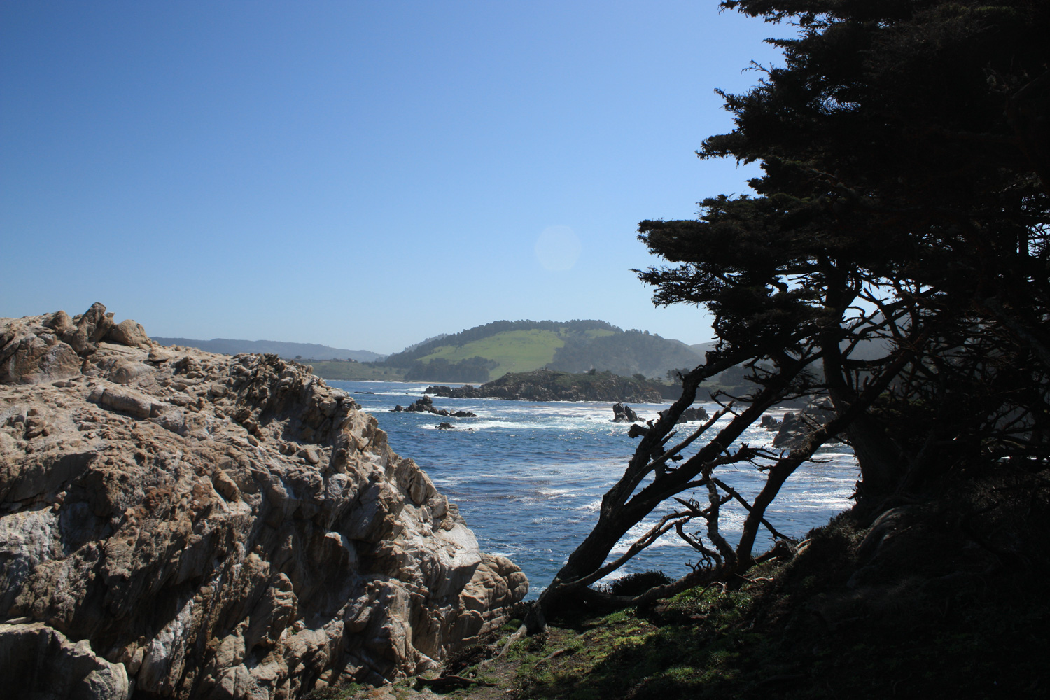
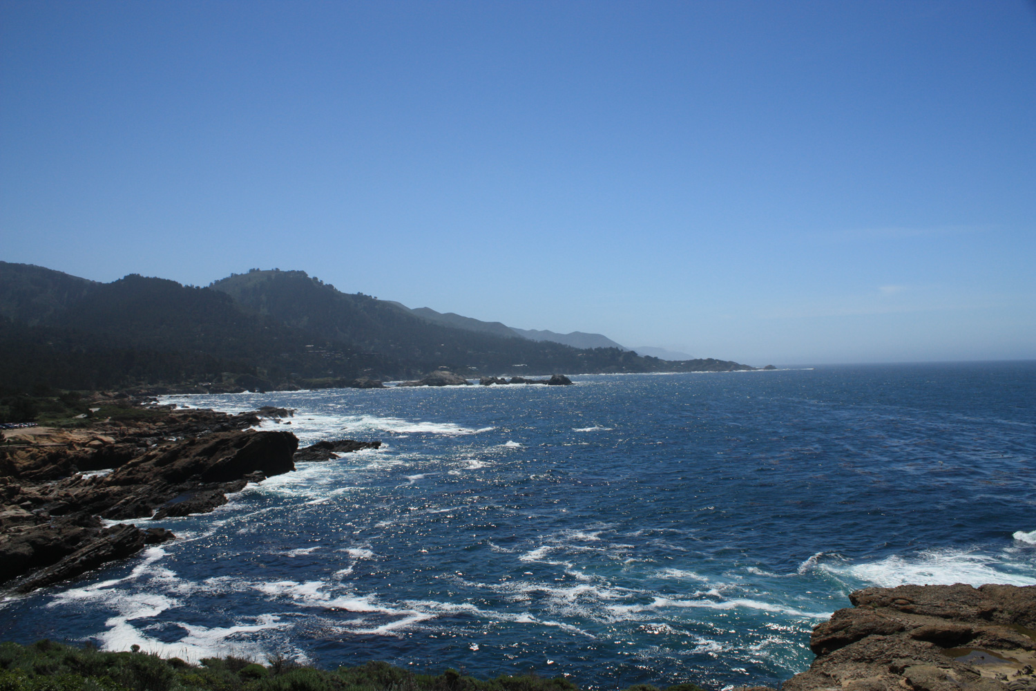
There are beautiful landscapes in virtually every direction here, and chances are you’ll often be distracted by them or struck with an insatiable desire to snap a photo along the way. You’re not in any rush, so soak it all in!
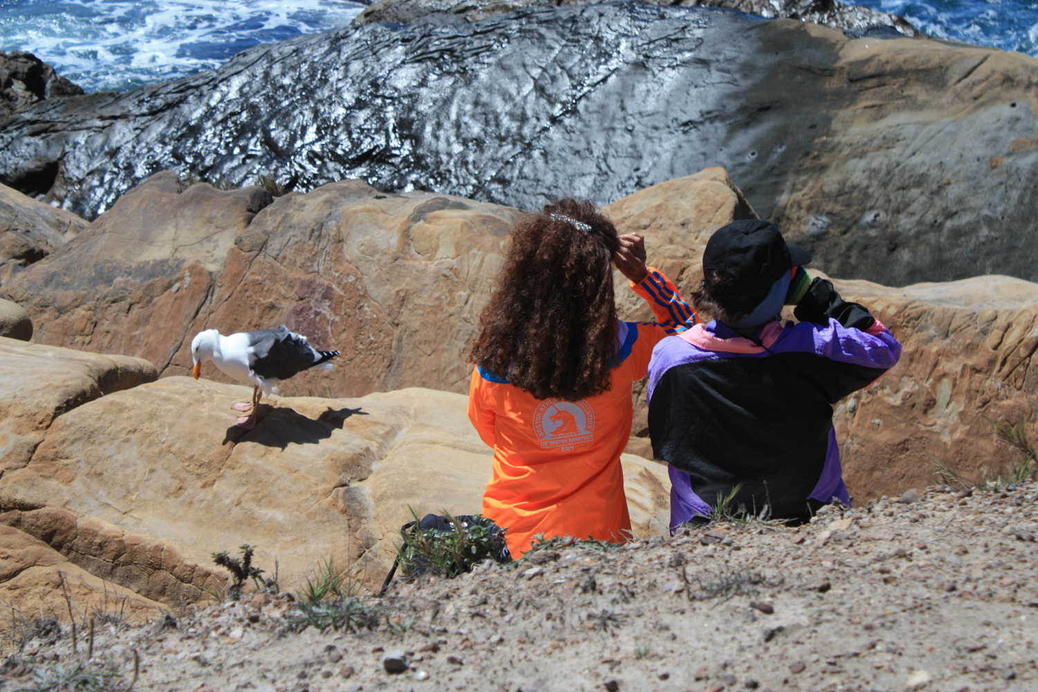
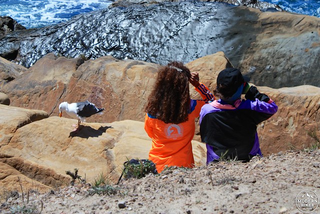
You might be so caught up in the views that you don’t even notice your avian neighbors!
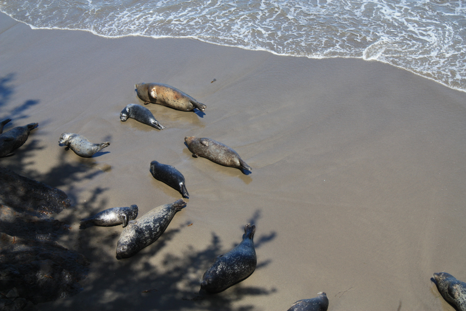
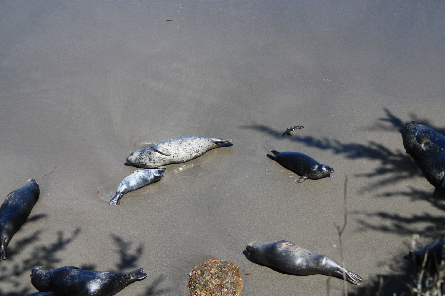
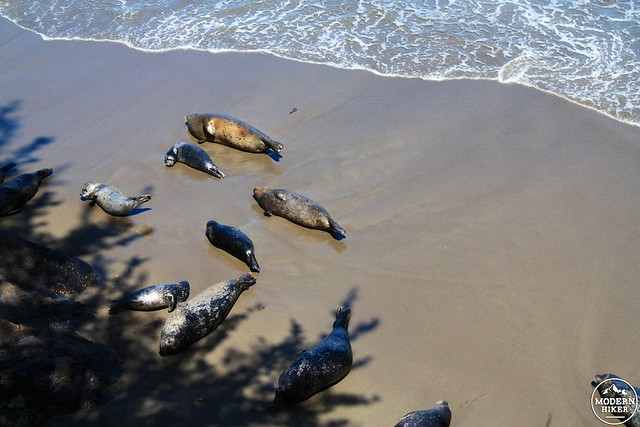
Follow the road back to the trailhead, stopping inside the old Whaler’s Cabin to get a taste of the region’s history and – if you’re here in the spring – looking over the cliffside at the sea lion harbor seal pups sunning with their parents near the cove.

Tags: Big Sur, birdwatching, carmel, coastal, Hiking, monterey, Pacific Ocean, point lobos state reserve, sea lions, sea otters, transit accessible, wildflowers, wildlife