Get ready to take a week off from using the stair-master. This epic hike is one of the most challenging and strenuous in San Diego County, and its countless ups-and-downs will work your quads, calves, and glutes into meek submission. Unlike the gym, however, this trip over one of the most rugged and challenging landscapes in the county will grant you spectacular views and bragging rights to reward you for your diligence.
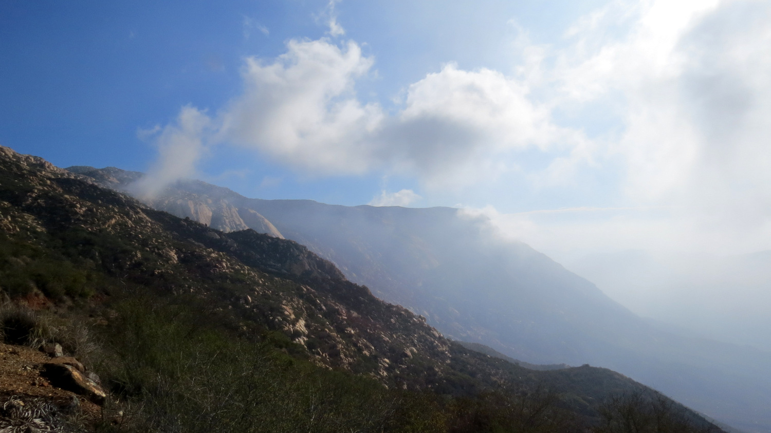
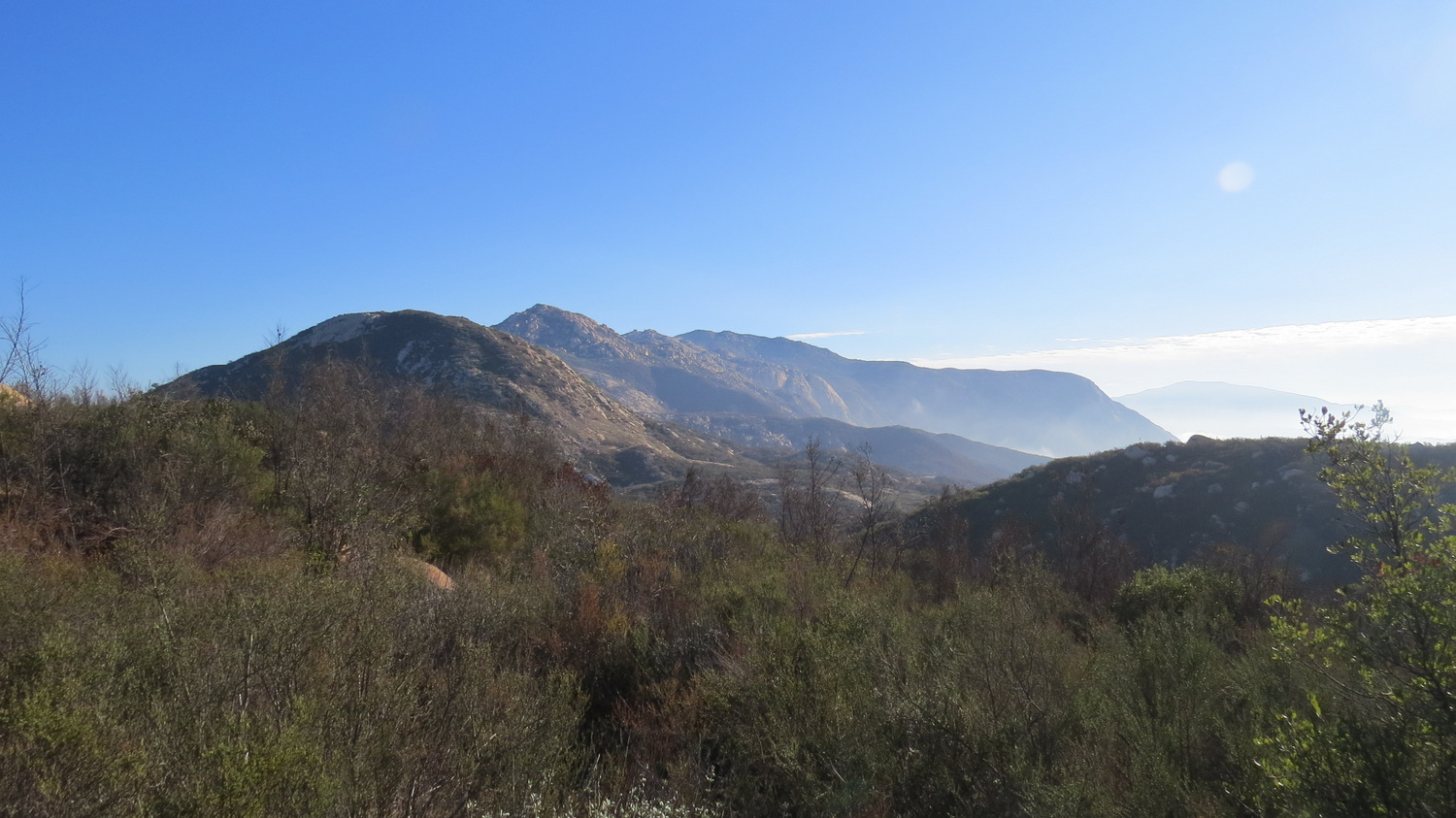
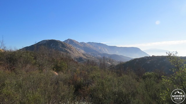
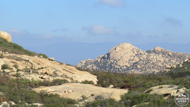
El Capitan is the sharp slope in the middle distance
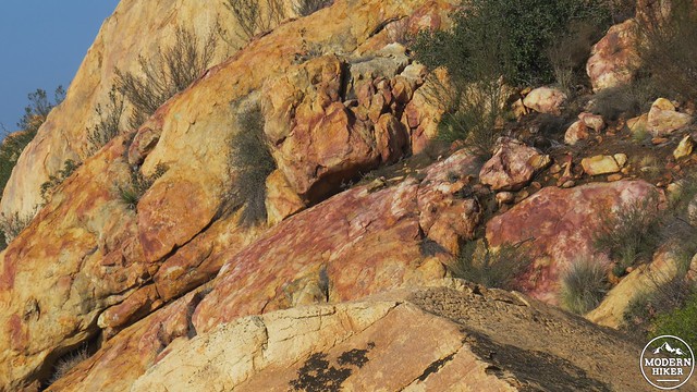
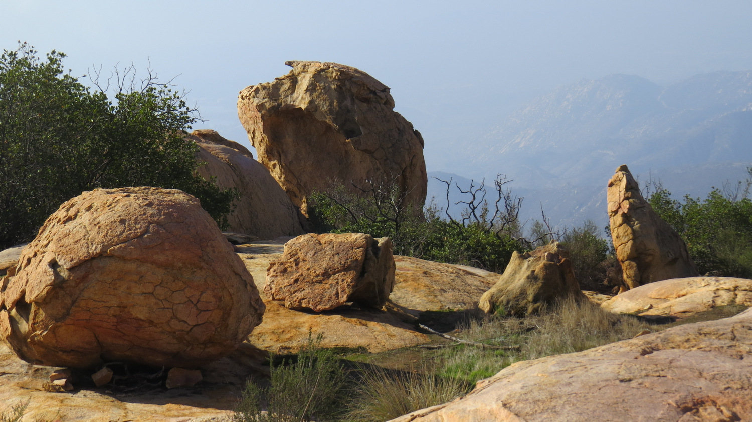
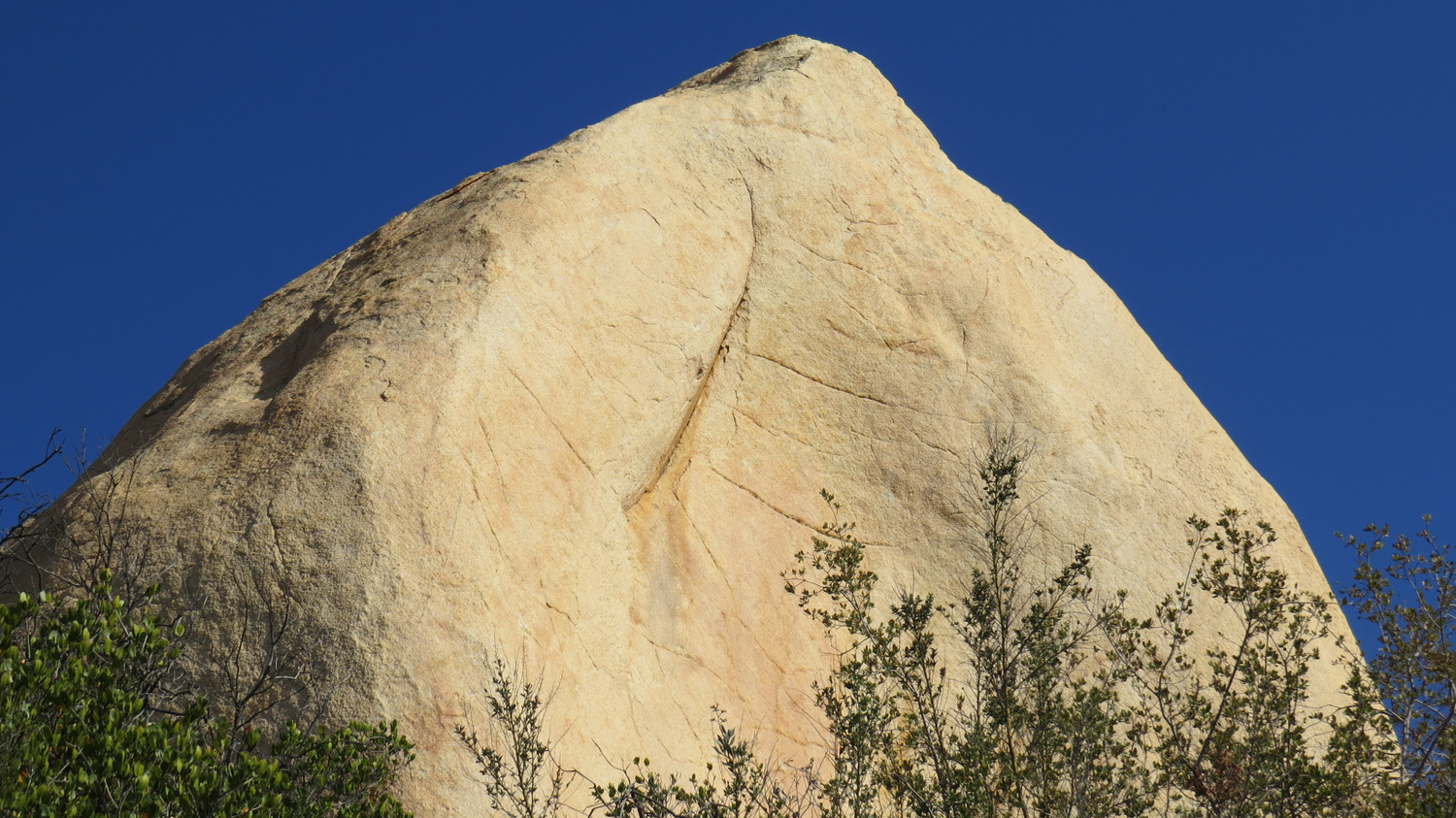
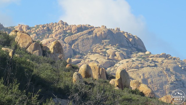
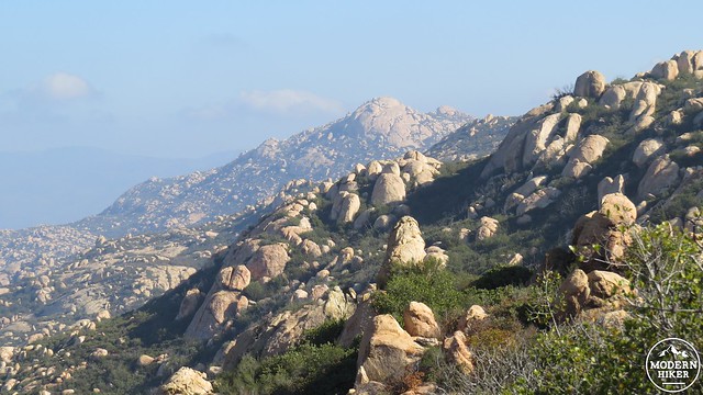
Get ready for a lot of granodiorite
El Cajon Mountain is the high point of a large block of granite that rises up above the town of El Cajon. Like nearby Mt. Woodson, Iron Mountain, and Mt. Gower, the landscape here exhibits countless examples of exposed granodiorite that has been eroded into smooth, rounded shape through spheroidal weathering. This long, slow chemical process wears away the edges of the rock over millions of years, producing the rock formations so common across San Diego’s interior. Nowhere else in the county do the granite formations become as impressive as they do on El Cajon Mountain. In addition to some spectacular formations on some of the lesser peaks on the mountain, the south face of El Cajon Mountain drops in a nearly sheer cliff, exposing a solid granite wall resembling Yosemite’s El Capitan. For that reason, the mountain is commonly referred to as El Capitan Mountain, or simply El Cap.
It should be noted that this is not a hike for every one. Many sections of the trail follow a severely sloping track up a heavily eroded fire road that can be slippery and treacherous at times. However, this hike’s reputation as a monster comes in large part from the trail’s tendency to climb a severe slope, only to drop the elevation on an equally severe slope. There are several uphill sections on the return journey, and this is clearly what your grandparents were talking about when they told you that they walked to school uphill both ways. The approach to the summit gains around 3,200 feet, while the return journey talks on the remainder of the elevation gain at 800 feet.
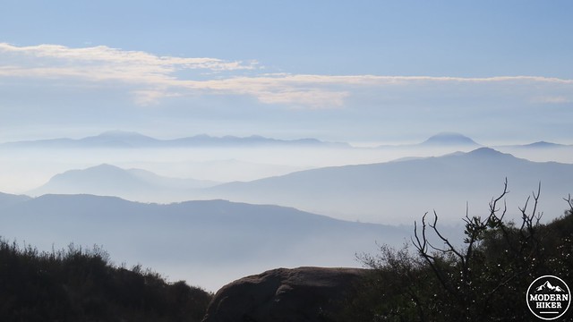
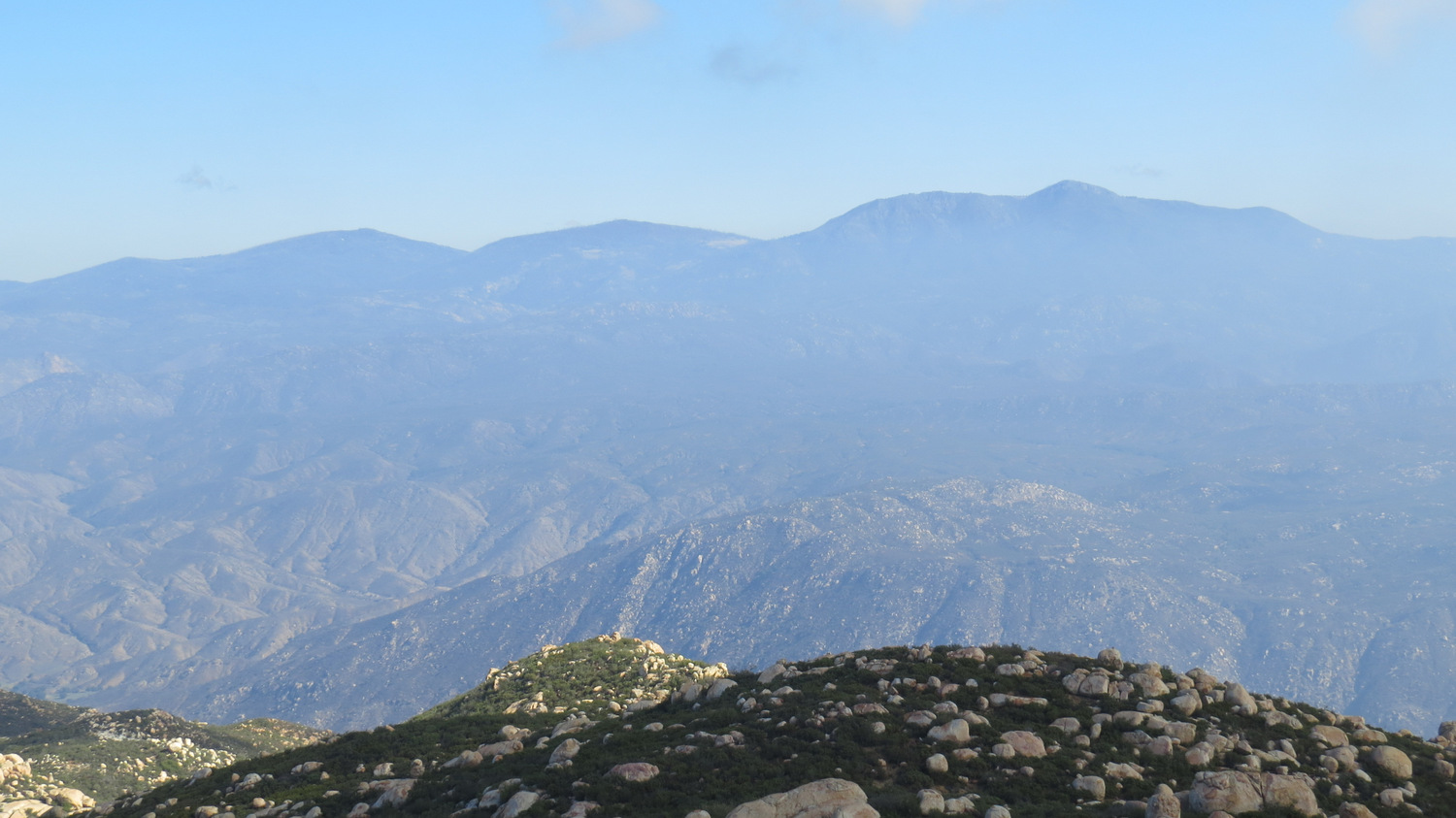
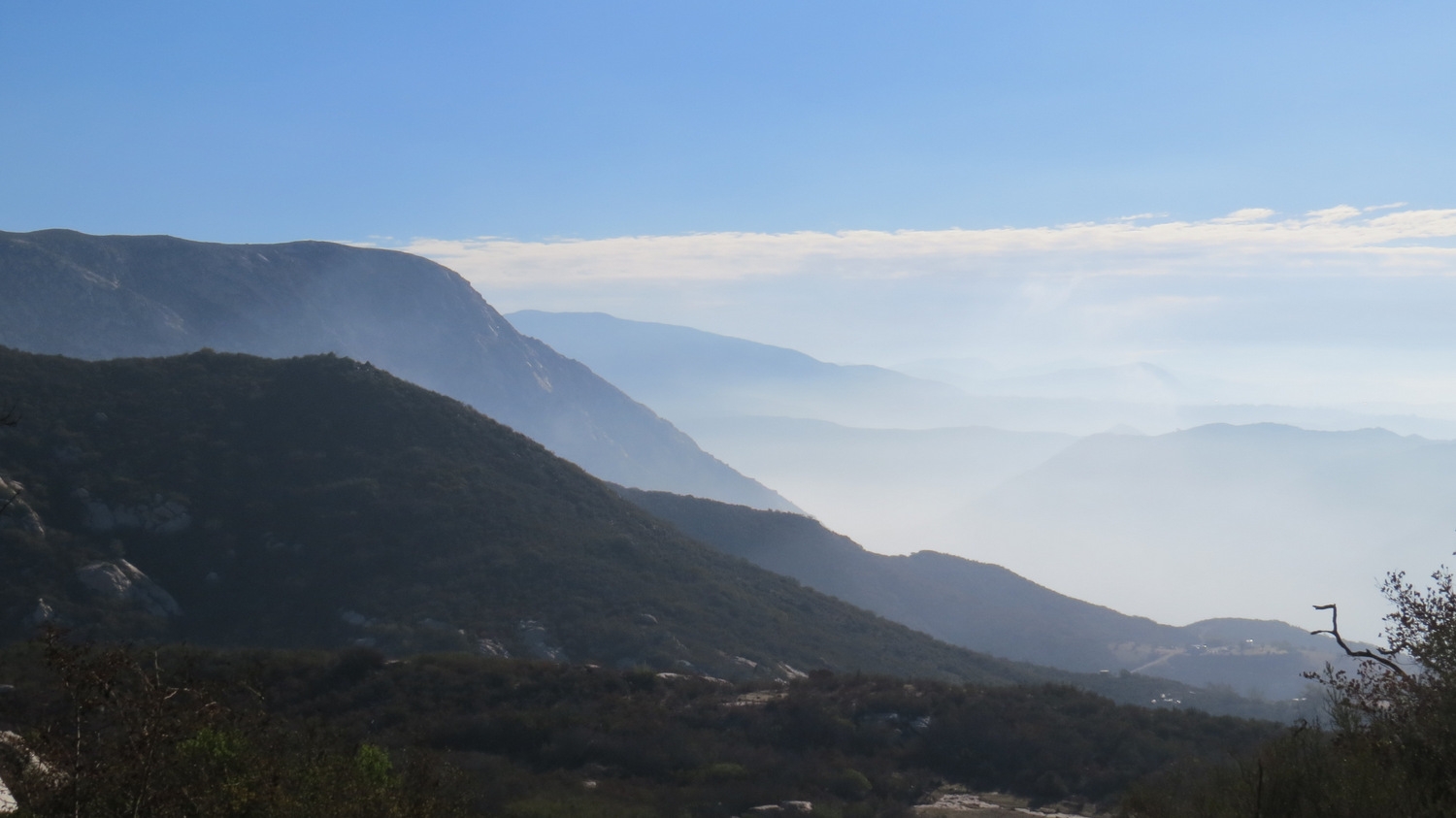
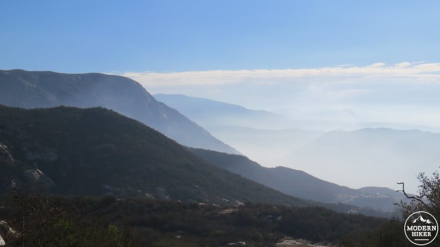
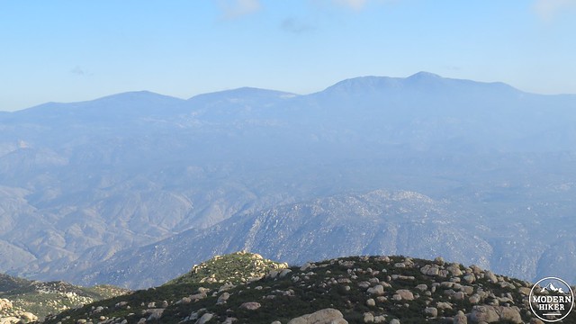
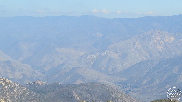
Looking toward Mexico through the haze
If you attempt this hike, you should be in excellent hiking shape, bring more water and sunscreen than you think you’ll need, and be mentally prepared for the constant ups and downs. It also won’t hurt to have a good set of trekking poles, which will help you to maintain stability on slippery sections of trail, to propel you up a slope using your upper body, and to slow your momentum on the downhills sections. Finally, this is not a hike to attempt on a hot day. Between the exposure, the climbing, and the length, taking this hike on a hot day is a recipe for disaster.

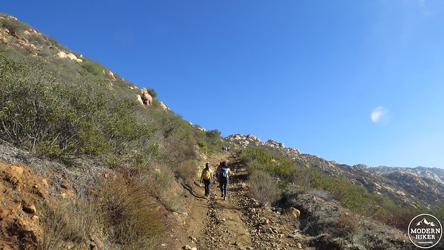
Just getting started
Begin at the staging area just off Wildcat Canyon Road and walk .5 mile uphill to the proper trailhead, which features pit toilets and a picnic bench. From here, you will immediately commence a tough climb through chaparral that winds up along a west-facing slope. Views back over Iron Mountain and Mt. Woodson provide a preview of the view over the next 5.5 miles of hiking.
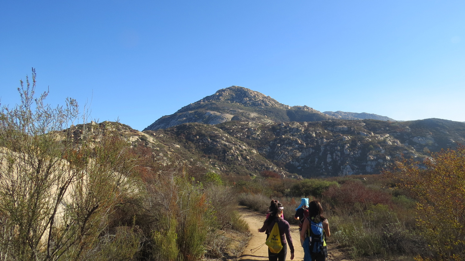
The view toward the summit. El Cajon Summit is in the dead center of the frame.
The trail comes up over a ridge that reveals the hard work ahead of you. The El Capitan formation will be off to the south of the main peak, which hides behind a few false summits. Continue along the main trail as it undulates several times before climbing a severe slope. At the top of the slope, the trail will immediately drop another 300′ before it commences climbing up a slope that is, quite frankly, preposterous. The mileage markers kindly – or cruelly – display the elevation profile partially as an indicator of a progress and also a warning for the faint-of-heart.
Get ready for a lot of this
This rugged, difficult stretch of trail will bring you up to a shallow saddle before – you guessed it – dropping you back down another 300′ or so on the north side of the mountain. The trail remains rough and uneven as it descends, although views north over Ramona, Santa Ysabel, and the Palomar Mountains are a nice compensation. The trail also passes a large swath of more moisture-loving plants like willows, sycamores, and even some bullrushes, which indicates the presence of a spring nearby.
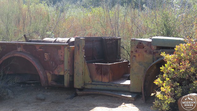
Considering how rough the trail is, I have no idea how they got this up here
The trail bottoms out for a final time before commencing the final push up to the summit. Along this arduous climb, you’ll pass an old, rusted-out jeep that must have been abandoned 50 or 60 years ago. This is a great photo op if you’re taking this hike with a group, or it may simply be another place to stop and catch your breath.
After more studious effort, you will reach a point where the trail finally flattens out a bit and comes to a four-way junction. There are a few options here: go straight, and you will come to the edge of El Capitan’s sheer cliff. Go right, and you will reach a minor summit with some kind of structure that I did not investigate. Go left, and you will reach the true summit.
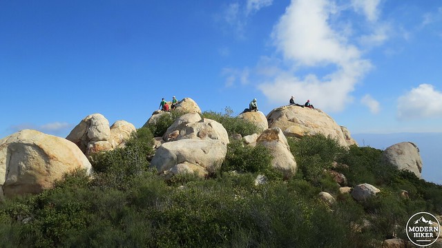
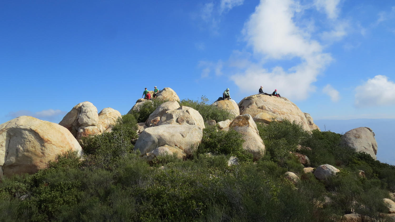
The trail to the summit is, if possible, even more rougher than the main trail. The path cuts a narrow swath through chaparral that will take swipes at your legs. If it isn’t too hot, I recommend wearing pants, as it will save you from getting a few scratches. The trail reaches a ridge leading to a rock pile just to the north. Follow the faint trail over, around, and between a jumble of boulders to reach the marked summit. There are three bench marks for the summit, but none of them are actually on the summit. You may wish to content yourself with a well-earned rest on a flat boulder where you can survey the impressive panorama before you.
From left to right: North Peak, Middle Peak, Cuyamaca Peak
The San Diego River Gorge
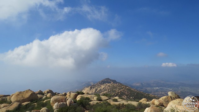
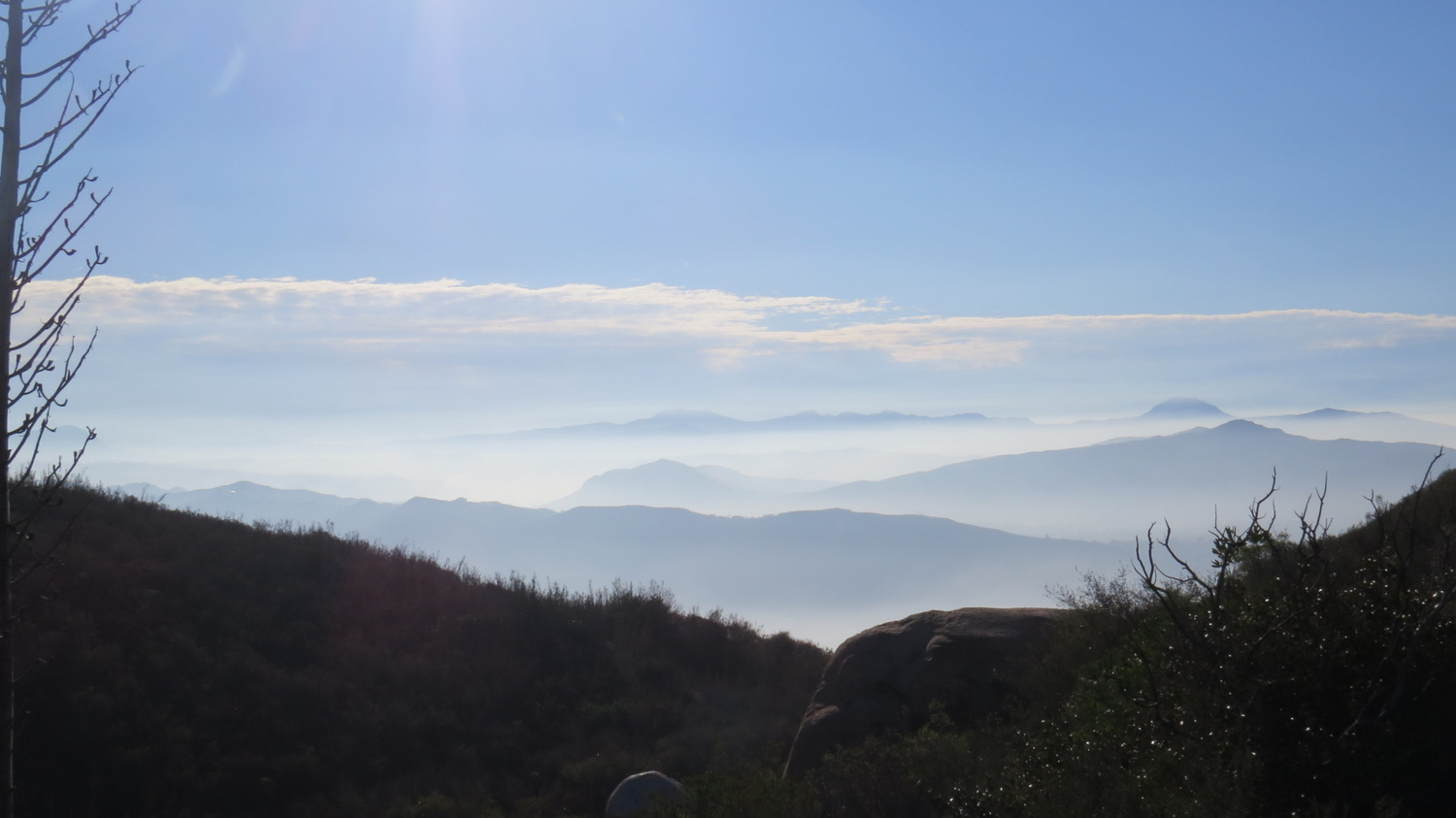
El Cajon Mountain offers a true panoramic view that takes in every geographic feature west of the Cuyamaca Mountains. Cuyamaca Peak and its smaller sister peaks, Middle and North, rise up from the impressive depths of the San Diego River Gorge. The rugged peaks of the Pine Creek Wilderness recede into the distant haze of Mexico, while the arc of the Pacific shimmers over urbanized coastal San Diego. To the north, Ramona Valley basks in the sun before gradually rising into the Palomar Range to the north. If the description of the hike put you off, rest assured that the views are more than worth it.

From here, you will make your way back to the car. Hopefully, you paced yourself on the way up, as you still have 800 or so feet of climbing on the return trip. The climbing on the back end feels even more taxing than it does on the front end, as by this point you are about 7.5-8 miles into the hike. If you keep a modest, measured pace and take breaks whenever you need to, you will reach your goal and be none the worse for wear.
You may wonder whether this hike is worth taking. Many people who finish it say, “Never again!” And yet, people come back again and again to test themselves, to increase their endurance, or to train for even more difficult hikes. Between the views and the sense of accomplishment, this trail is a lot more satisfying than it may sound. Besides, if you can do this hike, you can do pretty much anything in San Diego County outside of perhaps the even more challenging Agua Tibia Loop, or spectacularly difficult ascent of Rabbit Peak in the Santa Rosa Mountains north of Borrego Springs.
Note:
Dogs are allowed on this trail, but if you’re thinking of bringing Fido along, please be sure that he or she is in excellent condition and accustomed to hikes of this difficulty. Dogs overheat easily, and this is not a forgiving hike when it is warm.
Tags: Alpine, El Cajon Mountain, El Cap, El Capitan, El Capitan Open Space Preserve, Lakeside, Ramona