Jordan Hot Springs is one of my favorite spots in the Golden Trout Wilderness (part of Inyo National Forest). This route provides a relaxed hiking experience as it drops almost 3000 feet in 5.75 miles to the hot spring and a moderate challenge as you gain that elevation on the way back. This is by no means a secret spot, so try to visit on weekdays to maximize your solitude. But fear not — everyone I’ve encountered at this spring was very courteous and friendly.
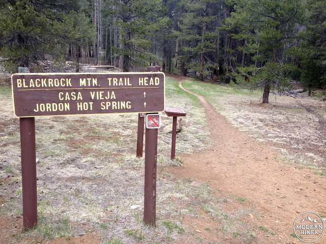
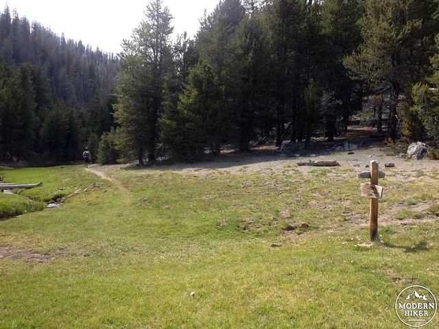
Get started at the Blackrock trailhead. Drive north on the 395 to Nine Mile Canyon towards Kennedy Meadows. Continue to the Blackrock ranger station, and then follow signs for the Blackrock trailhead. During winter months or periods of high snow (assuming we are not in a drought) the road from Blackrock Ranger Station to Blackrock trailhead is closed. Generally the road is open by Memorial Day weekend, or even sooner depending on the snowpack.
The trail can be broken down into two segments: the Casa Vieja section and the Ninemile Canyon section (note: this is different from the Nine Mile Canyon off the 395).
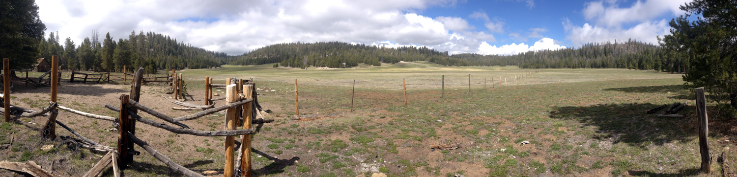
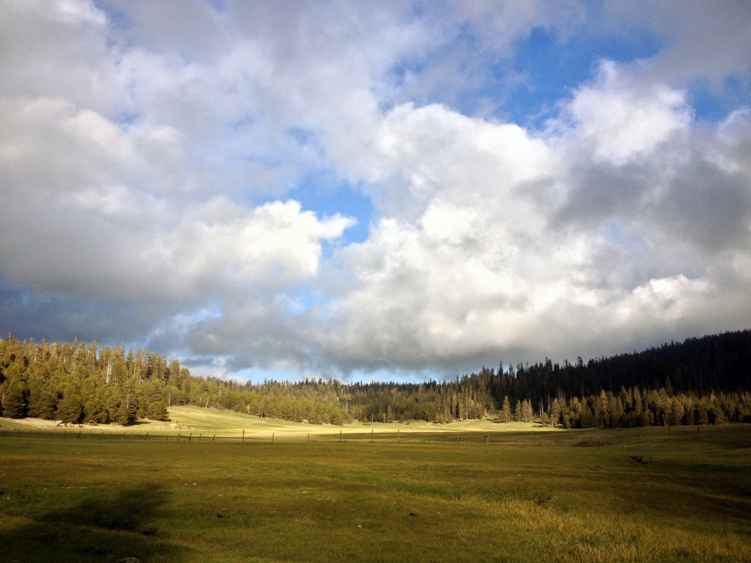
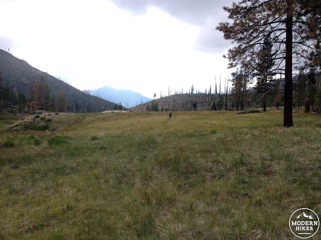
The first 2 miles travels downhill at a steady gradient north towards Casa Vieja Meadows, dropping 600 feet on the way. The southern Sierras don’t have the high peaks or alpine lakes that are found a little ways to the north, but they do have stunningly expansive short-grass meadows. You get your first glimpse of Casa Vieja at mile 1.7.
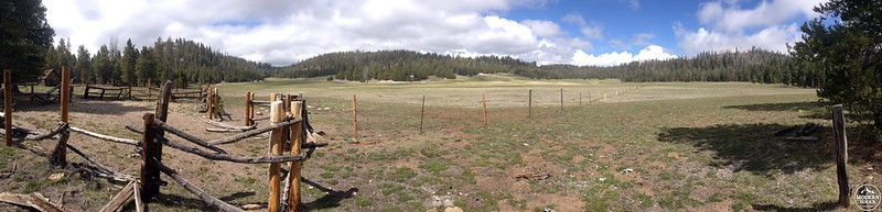
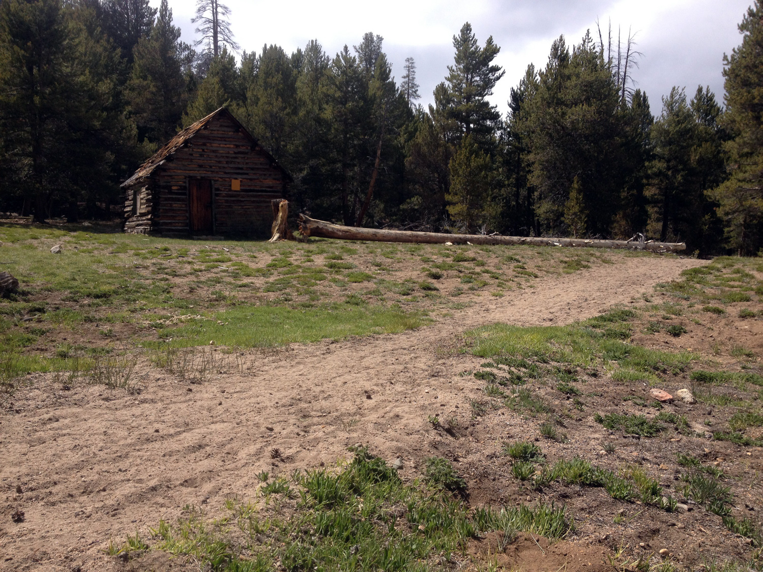
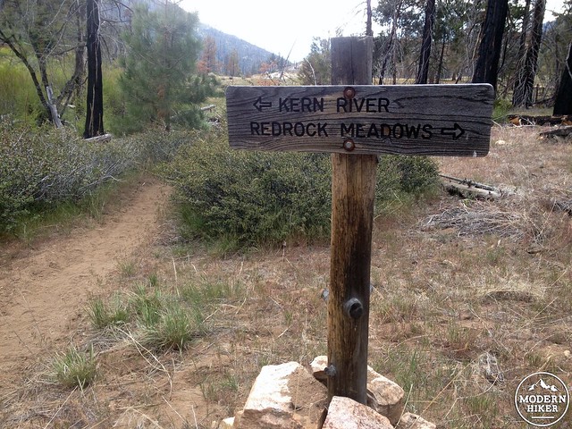
A trail junction is found at the western edge of the meadows, just a short way beyond the run down cabin. The larger trail continues north towards Redrock Meadows, while the Ninemile Canyon trail heads northwest and begins its steep descent to Jordan Hot Springs.
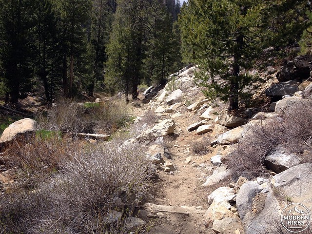
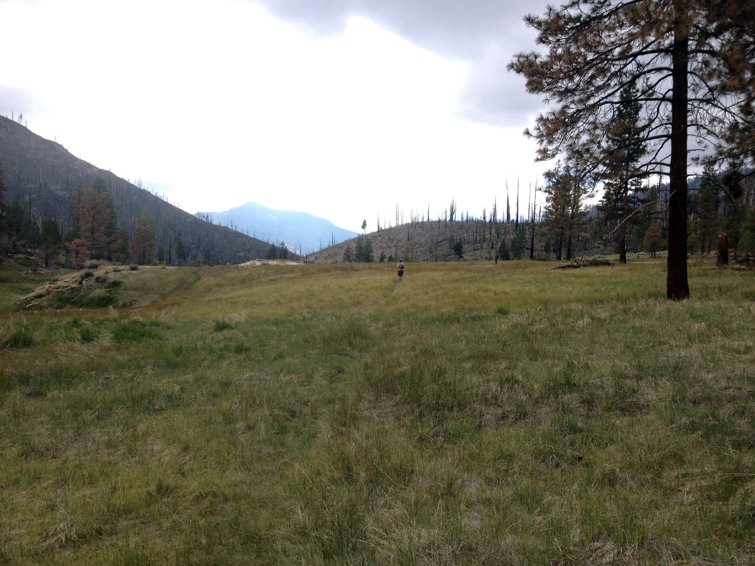
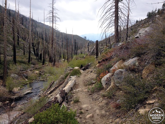
The trail starts losing elevation fairly rapidly and keeps the pace up over the remaining 3.5 miles to the springs. The route finding is very easy. Ninemile Creek flows at a pretty good rate, so use the creek as your handrail during the descent. At mile 3.75 you’ll enter a section of burned out forest that continues almost until you arrive at the spring. Some of these burnt trees are still huge and have the potential to fall over, so if you are camping overnight I wouldn’t recommend staying here.
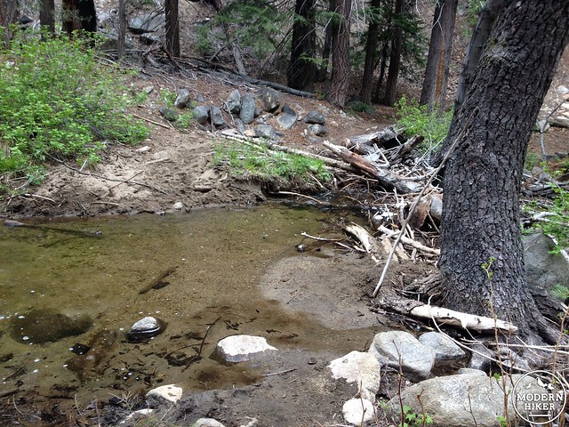
There are six creek crossings along the way that can all be easily traversed without getting wet.
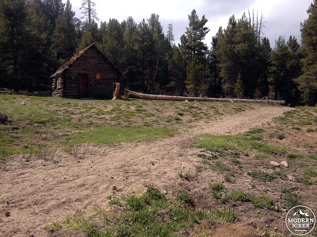
Just before the sixth crossing (at mile 5.25), a stand of tall trees and an old cabin mark the first good camping site. Cross the creek. You’re close to the hot springs now and the trails start to get a little confusing. Continue ahead for a few hundred yards to a marked trail junction. Follow the arrow pointing to the Kern River.
Continue into a small meadow and stay close to the river.
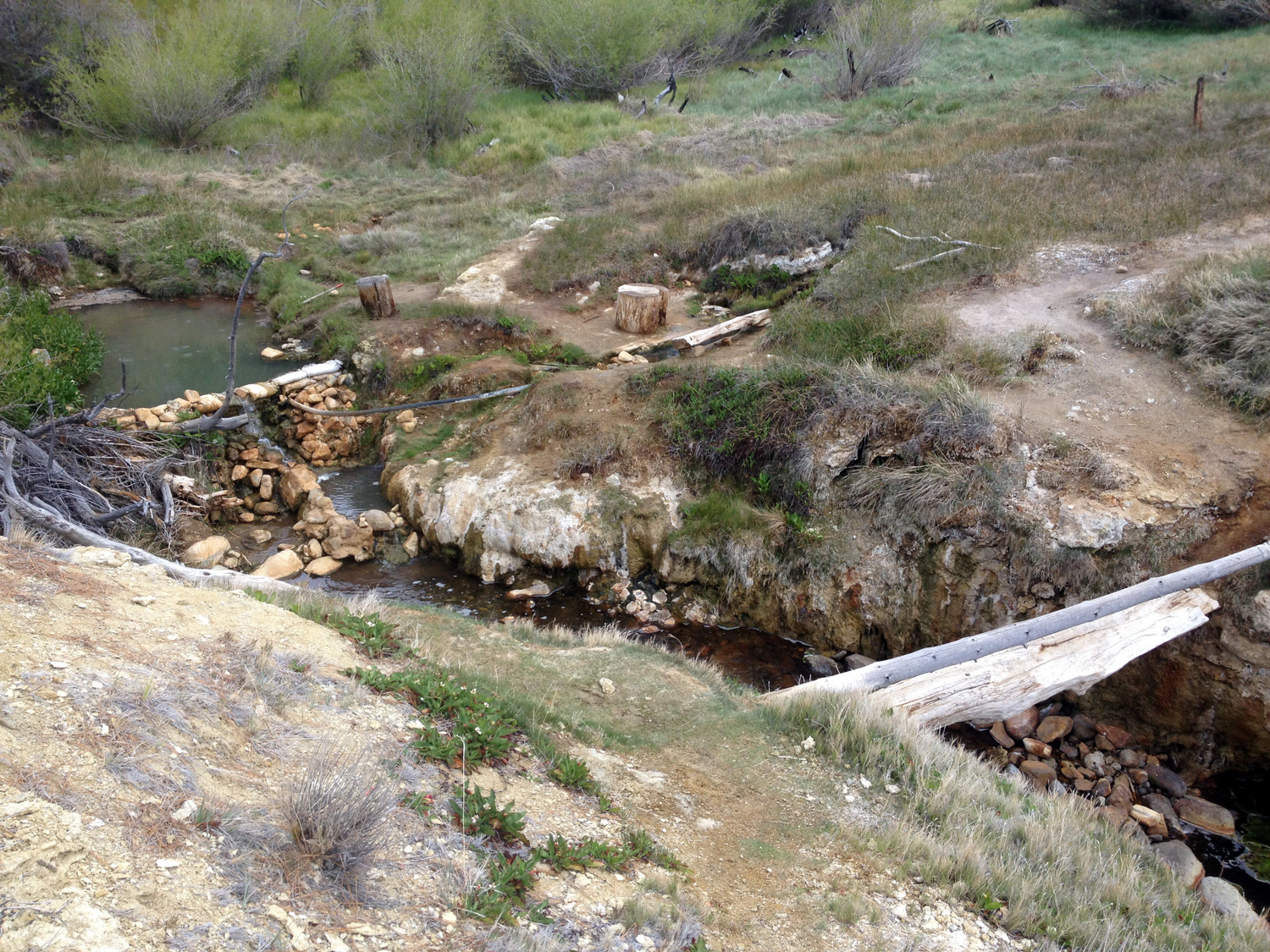
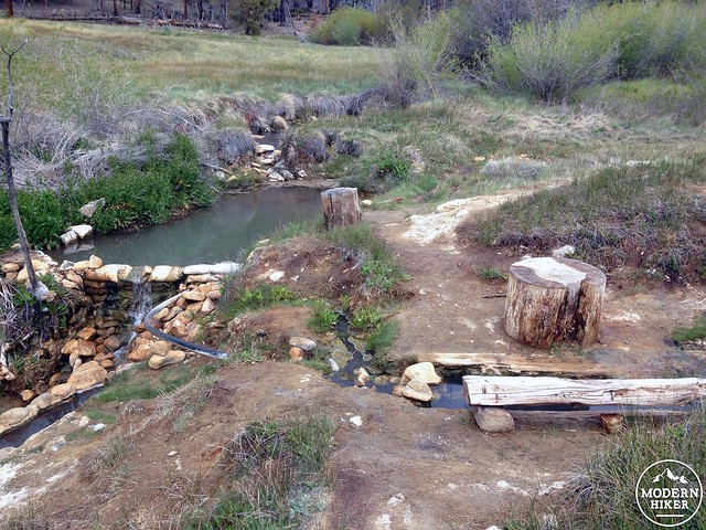
You can smell the hot springs before you see them; look for a log bridge crossing Ninemile Creek, less than a quarter-mile from the sixth creek crossing. Carefully cross the bridge, and the hot springs are right in front of you!
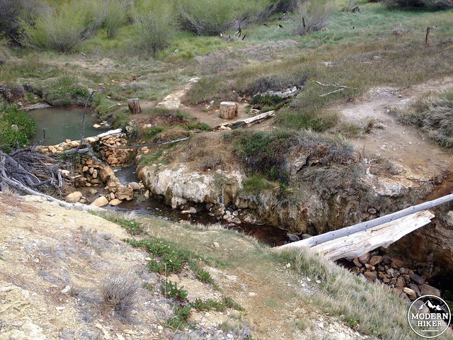
Jordan Hot Springs is made up of one large pool, a smaller pool, and what I’ll call a “foot trough”. The large pool is around 101 degrees, thigh deep, and fits eight people comfortably. The small pool is located just below the large pool and is around 104 degrees, knee deep, and only fits one person. The “foot trough” runs into the smaller pool and is a nice place to dip your feet.
The hot spring actually used to be a full on resort where people would stay in cabins and stock animals would bring in supplies. When the Golden Trout Wilderness was established, the resort was left to nature and the area is now designated as a National Historic Landmark. If you explore the upper meadows a bit you’ll come across a series of cabins which used to house the visitors. There is a really interesting historical analysis of the resort site before it became encompassed in the wilderness area. Below is a old map of the area showing the building locations and their purposes.
[pdf-embedder url=”https://modernhiker-storage.s3.amazonaws.com/modernhiker/wp-content/uploads/2015/06/Historic-Map.pdf”] (source)
A great camping spot is located on the fringe of the meadow, just to the north of the hot springs. There are almost limitless camping spots throughout the meadow and forest, so it’s easy to find a private spot.
After you’re all relaxed from the springs, it’s time to start the 3000 foot ascent back to the trailhead. Take it slow and enjoy the scenery — you’ll be back before you know it.
Tags: day hike, Eastern Sierra Nevada, Golden Trout Wilderness, hot spring, Inyo National Forest, Jordan Hot Springs